7/29 Pocket Meadow to Heart Lake
16.4 miles
Seldon Pass 10,870′
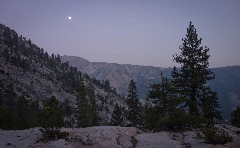
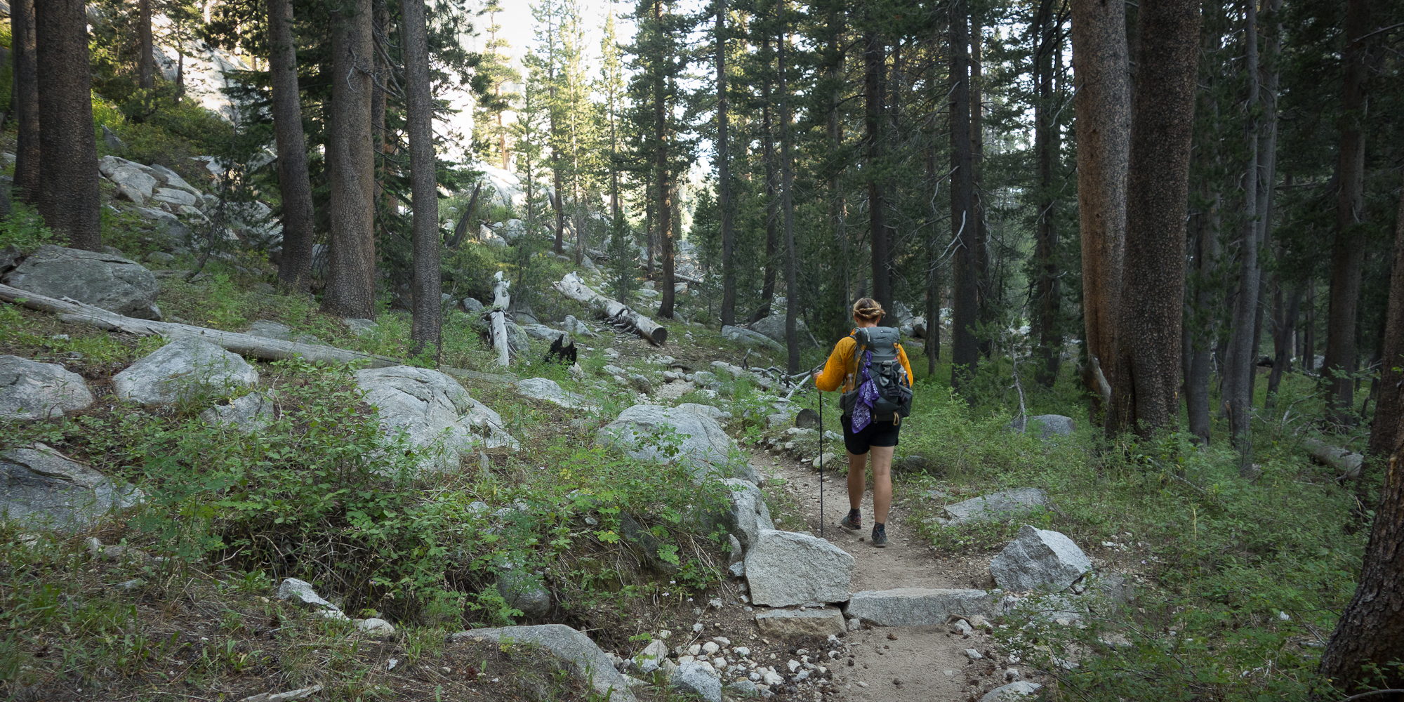
We are almost half way there! Which is incredible because this trail is absolutely exhausting and exhilarating. We got an early start to make up for the two miles we didn’t do yesterday and managed to be out of camp by 7:45 am! A new record!
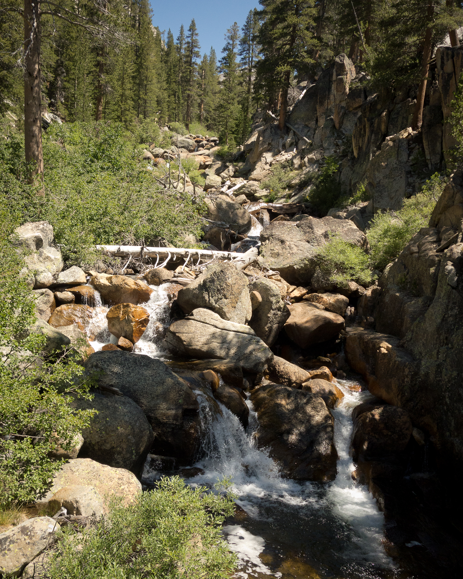
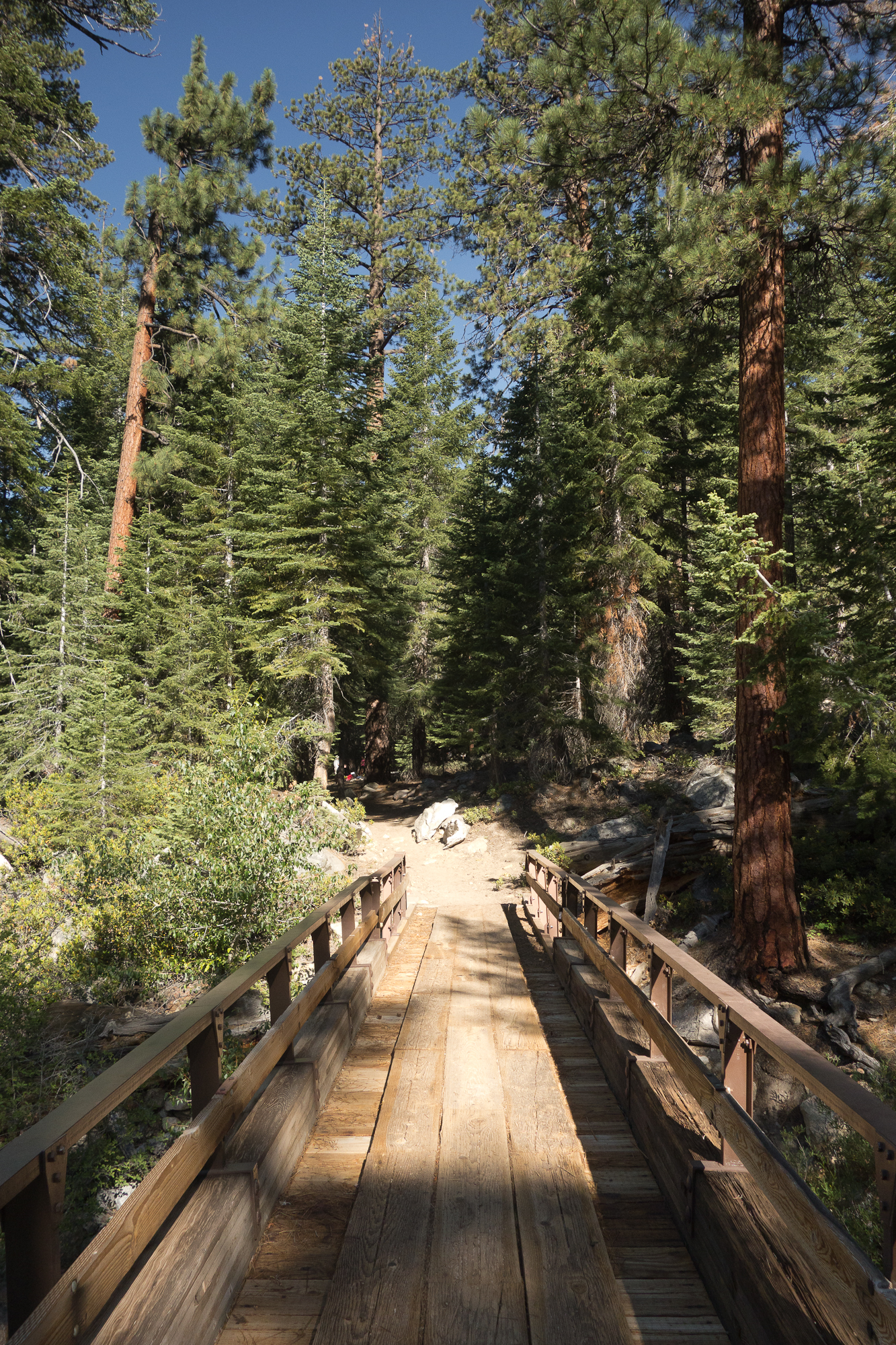
From our campsite we dropped down another 500′ down to Mono Creek to a bridge crossing. The split off for Vermillion Valley Resort was at that crossing. A lot of hikers do a re-suppy at VVR, we planned ours for the next day at Muir Trail Ranch. There was a friendly ranger there checking permits and bear cans. Thanks husband for taking care of procuring our permit and carrying it 220 miles :). There was a family whose feet where hurting them pretty bad and they and the ranger were discussing the fastest route off the trail.
We pumped water and filled up all our bottles and bladders at the creek as the maps said there wasn’t water for the next 6 miles. I managed to drop the cap to one of our water bottles into the creek. Thankfully a kind hiker jumped after it, catching it before it rushed downstream. That would have been really bad to lose the cap to the water bottle. Note to self, bring a back up bottle cap.
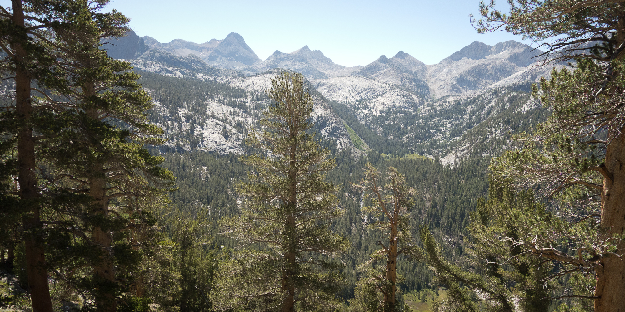
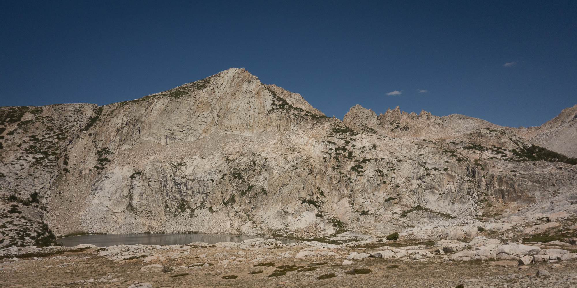
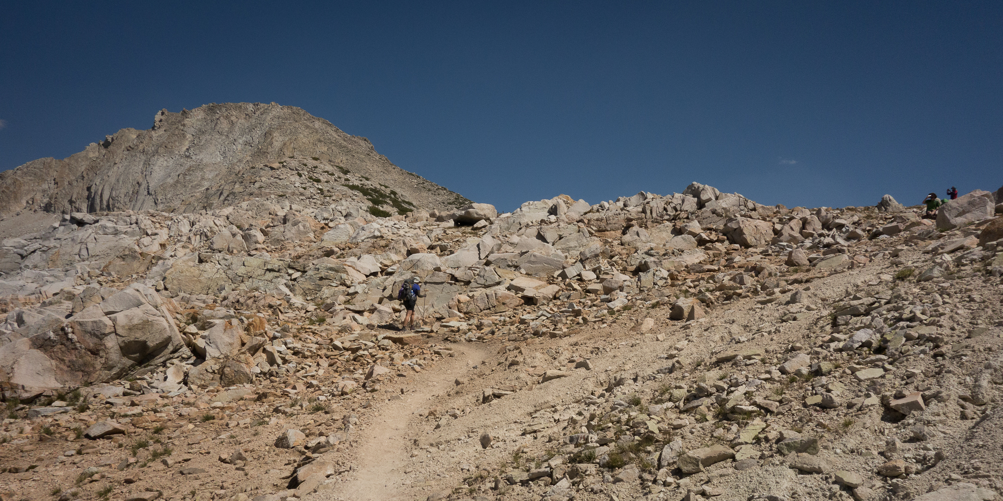
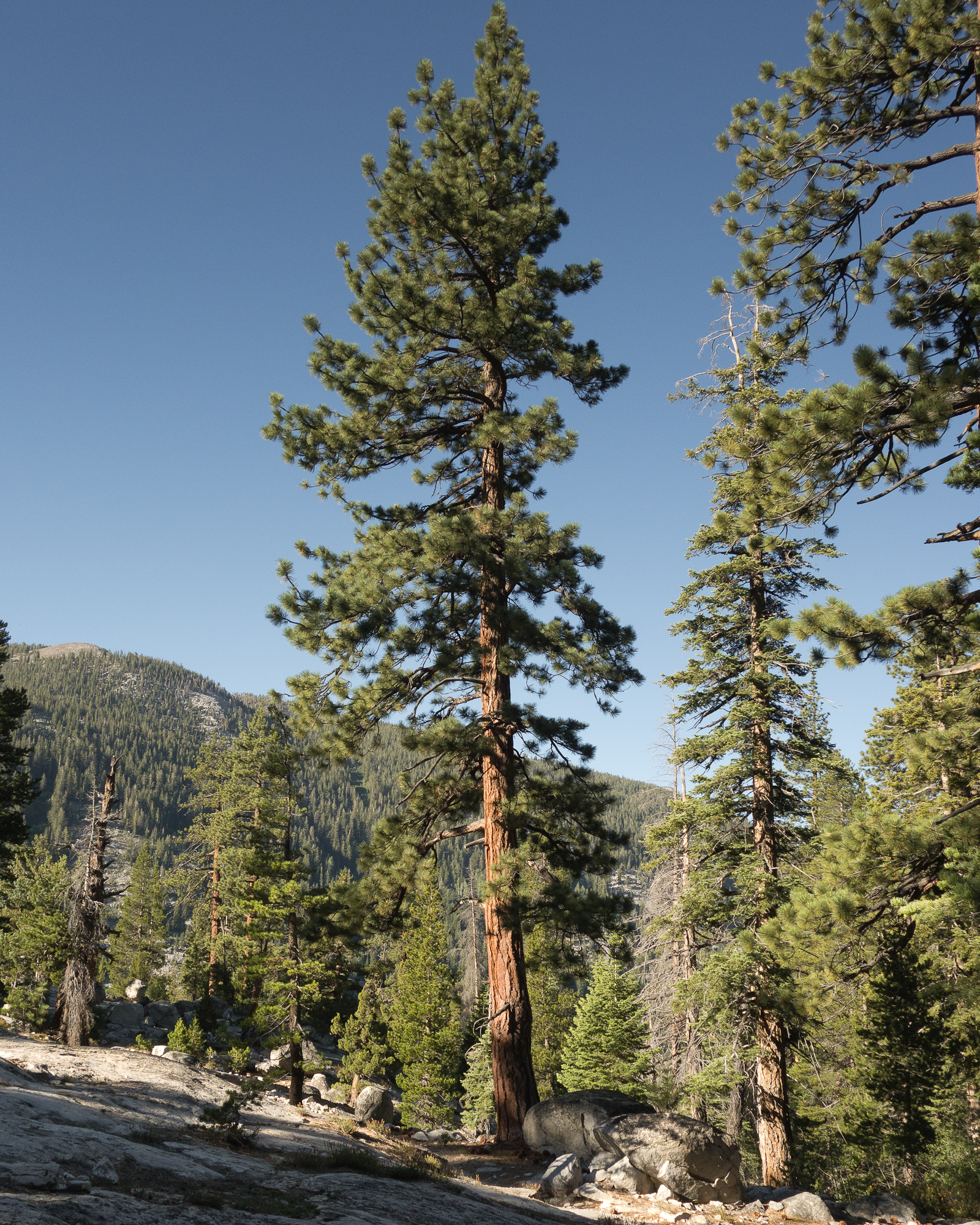
From the creek we started the lovely, long, switch- backing, 2,000′ climb over Vermillion Cliffs. Learning from past experiences we kept the pace slow and steady. Other hikers passed us but that’s okay.
Once over the 2,000′ climb, we took a water break at the Bear Creek Trail cutoff and chatted with the group of guys that rescued my water bottle cap. There was a pack of mules that was getting a bit fussy, stomping their hooves and snorting. The mule team leader explained to us they were fussy because the mules realized they weren’t headed back down the trail to Vermillion but instead on a longer excursion. I thought that was pretty funny. One more thing about the mules as I haven’t talked about them before. We encounter at least 1 if not 5 mule teams every day. And they always kick up a ton of dust and leave patties on the trail to step around. Mules are the cadillac of the mountains as I have heard from a number of different rangers and hikers and are used to transport supplies from one high camp to the next. I find it ironic that we are going to great lengths to make sure our excrement gets no where near the trail or water yet the mules just poop right in the stream. End rant.
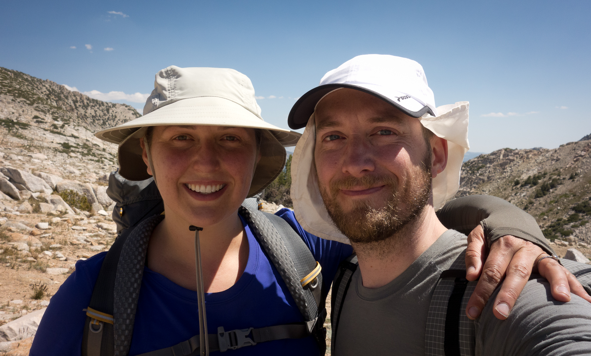
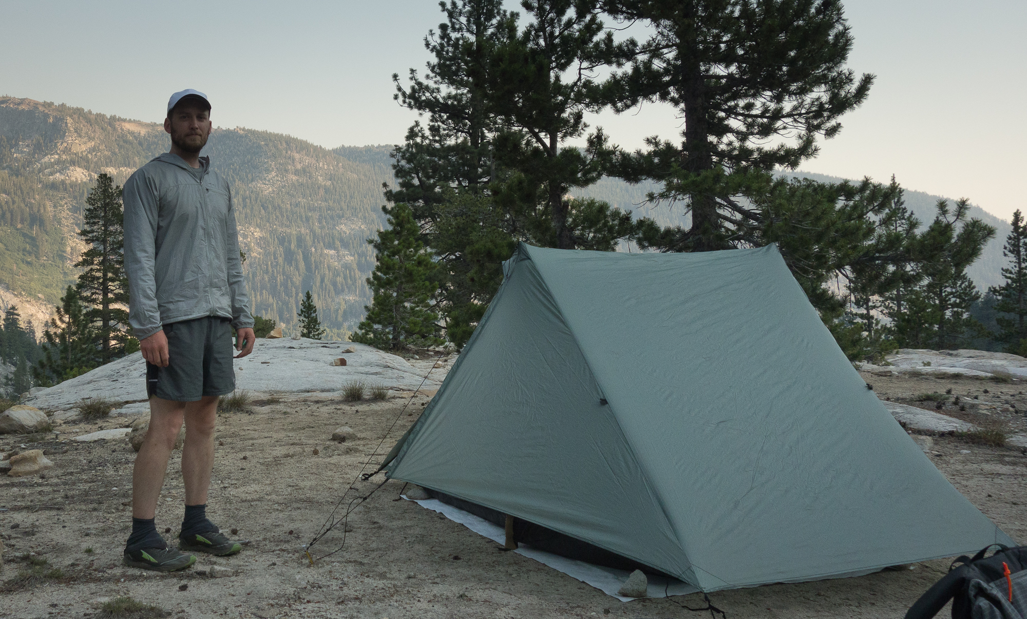
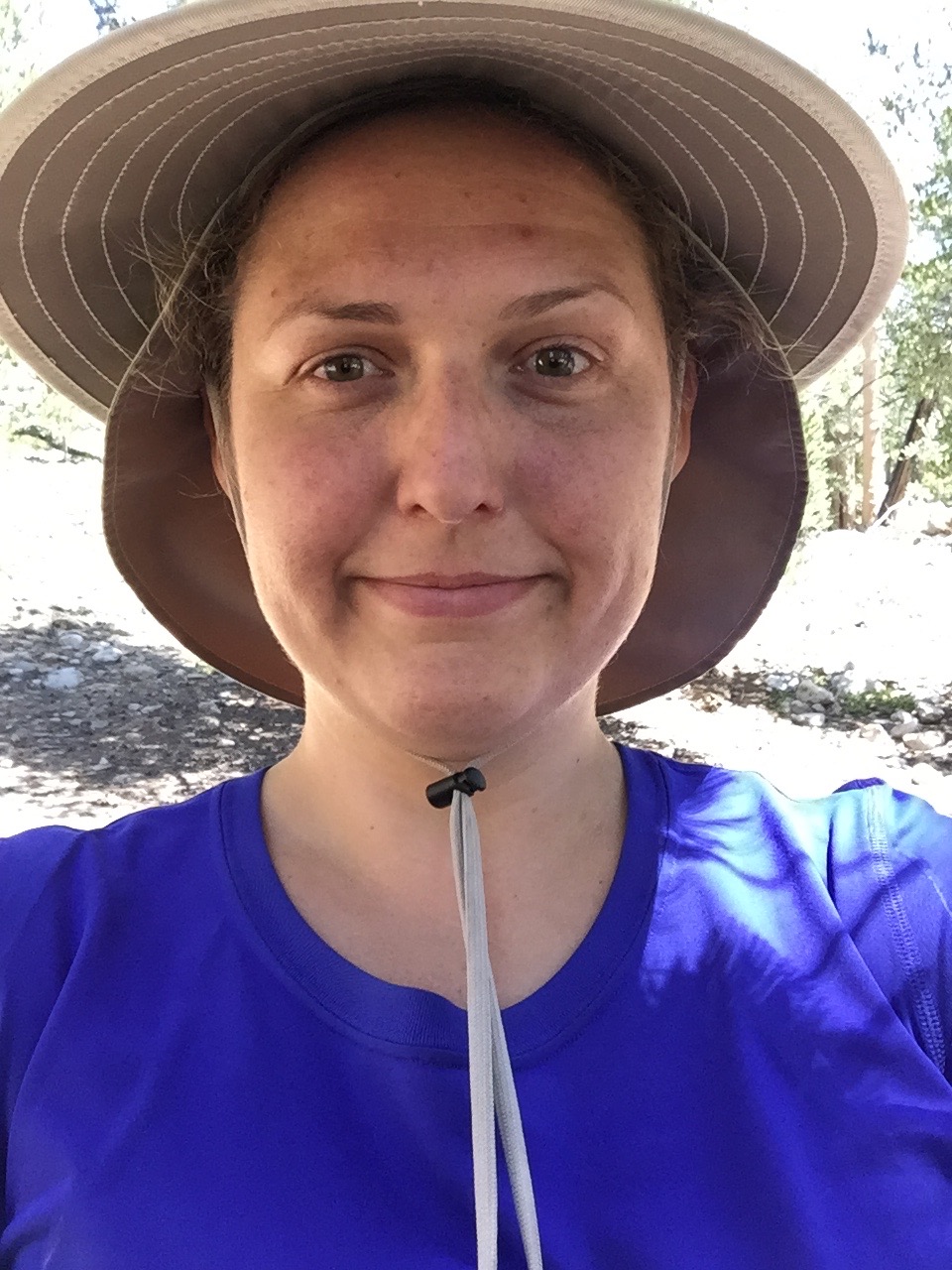
Thanks to the guys we were chatting, with we discovered we had a glimmer of cell service so I turned my phone on to text my family this selfie:
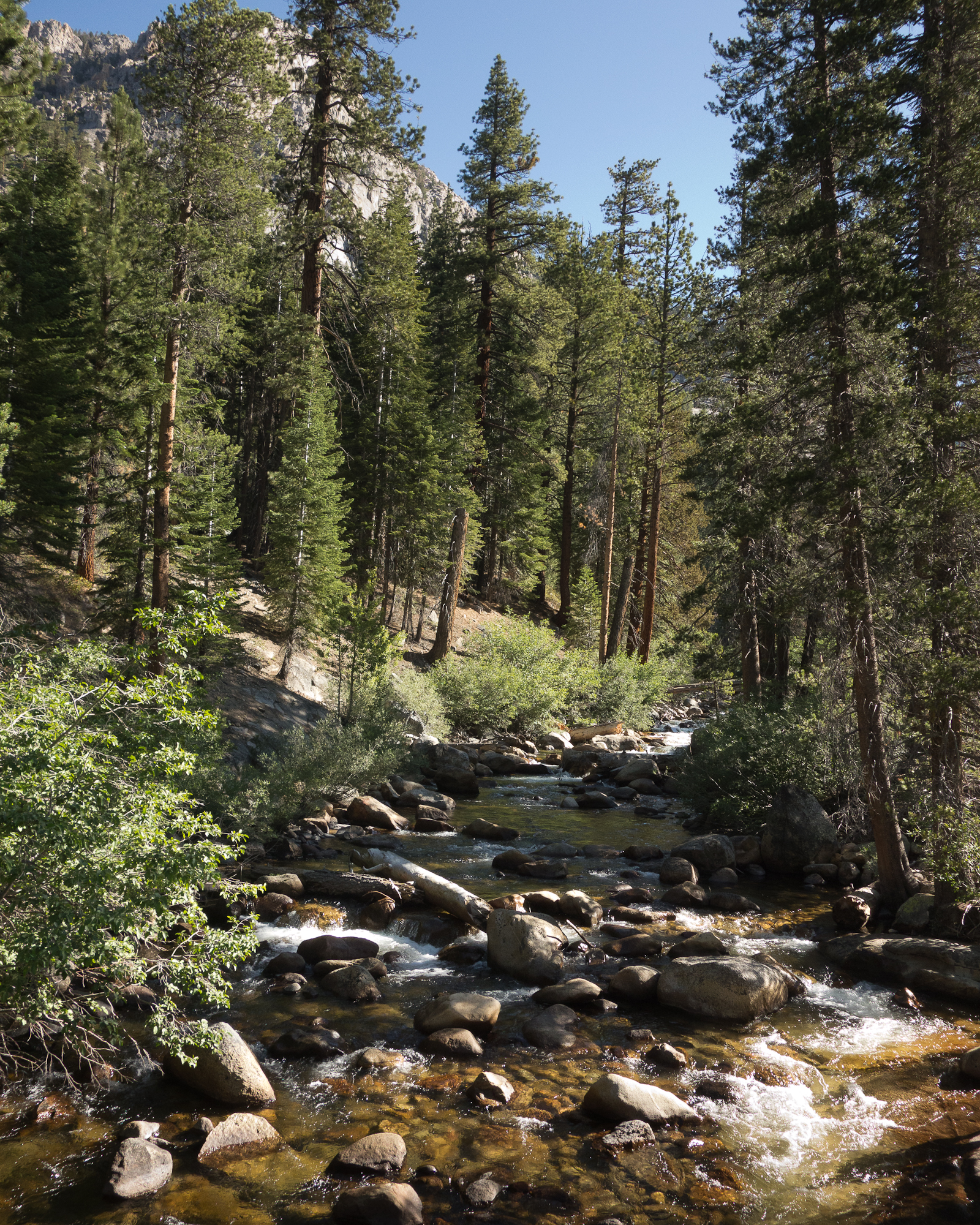
After cresting bear ridge at just shy of 10,000′, the trail drops down the other side of the ridge and runs along side Bear Creek. We took the opportunity to sponge bathe ourselves in the rushing water and dunk our shirts as it was hot in the afternoon.
We ran into one north bound hiker (we are south bound hikers) who was carrying a fishing pole and binoculars. He told us that he was catching fish every night and eating it. Sounds amazing right!? We didn’t chat too long as the mosquitos were attacking all of us (the pleasure of being too close to water) and we said goodbye and hiked on.
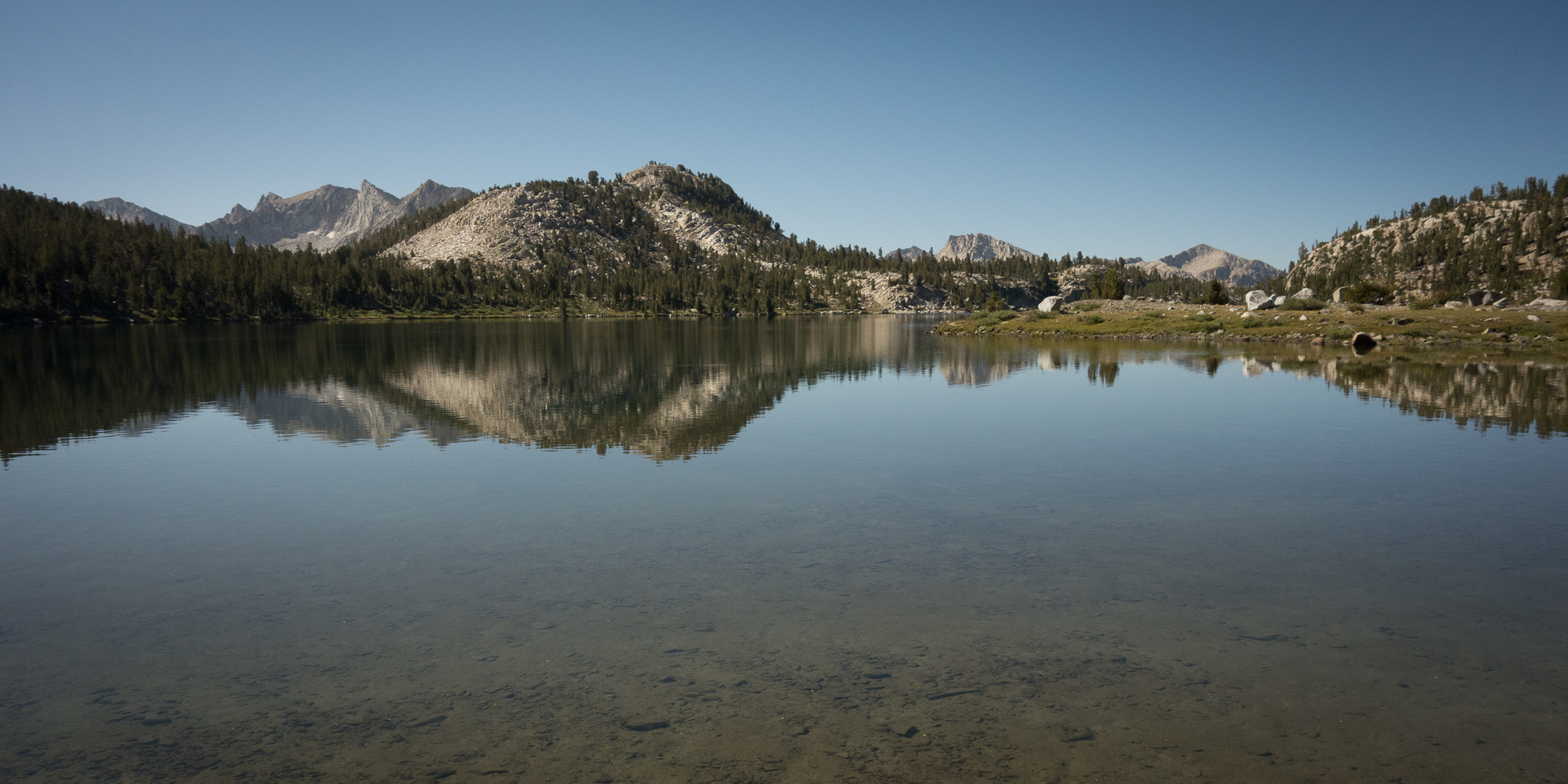
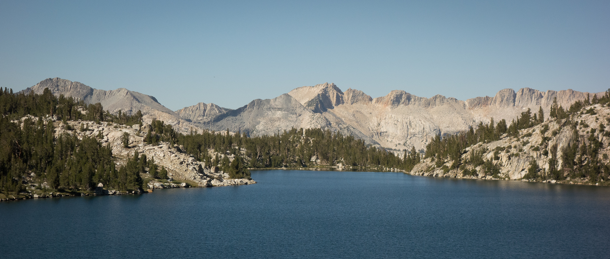
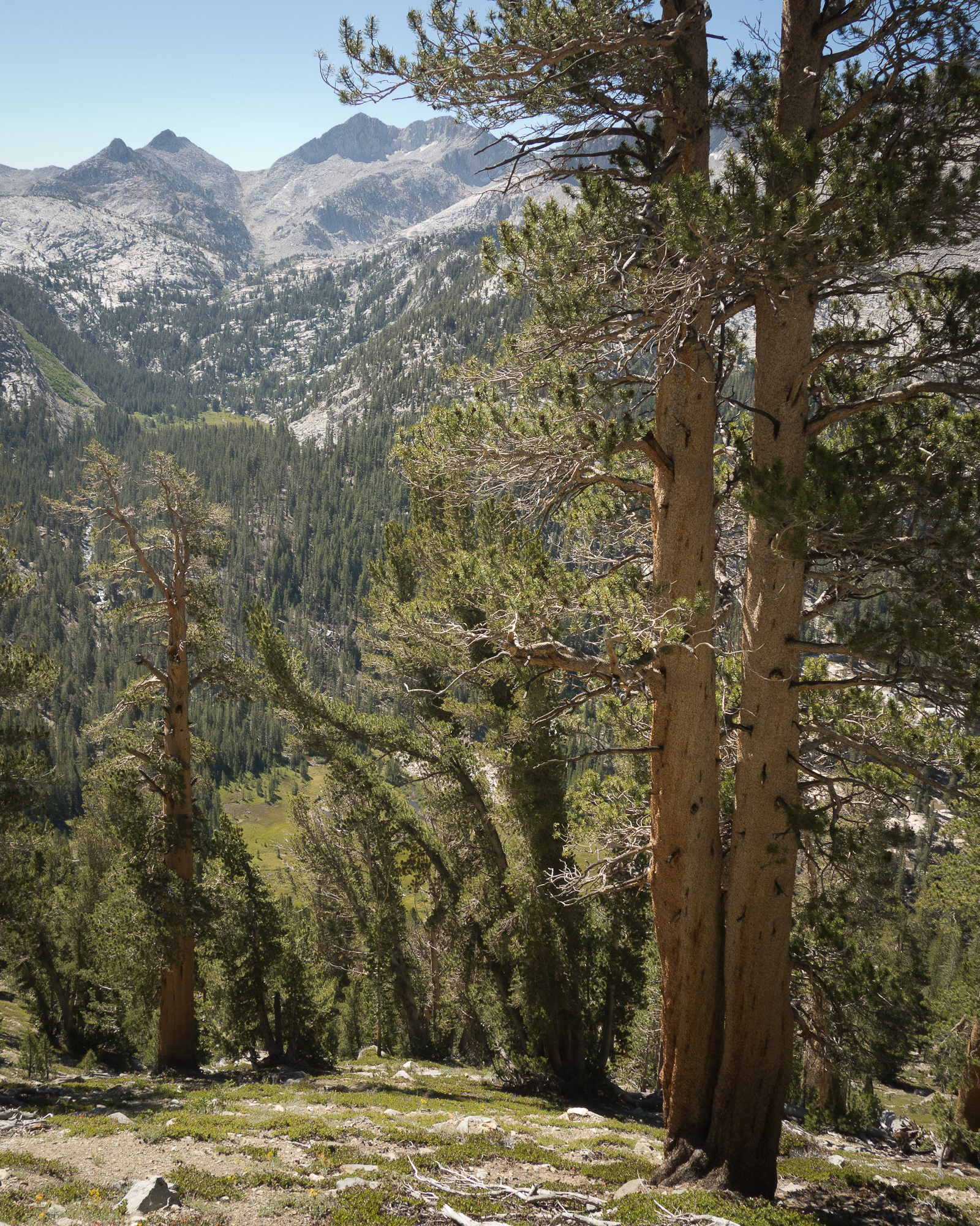
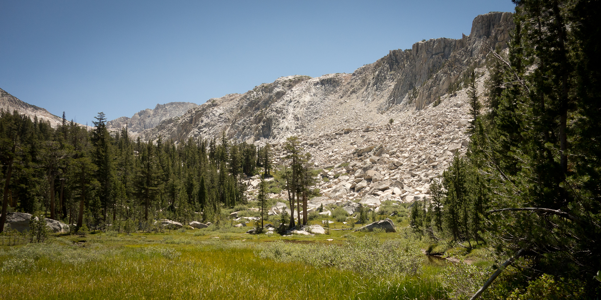
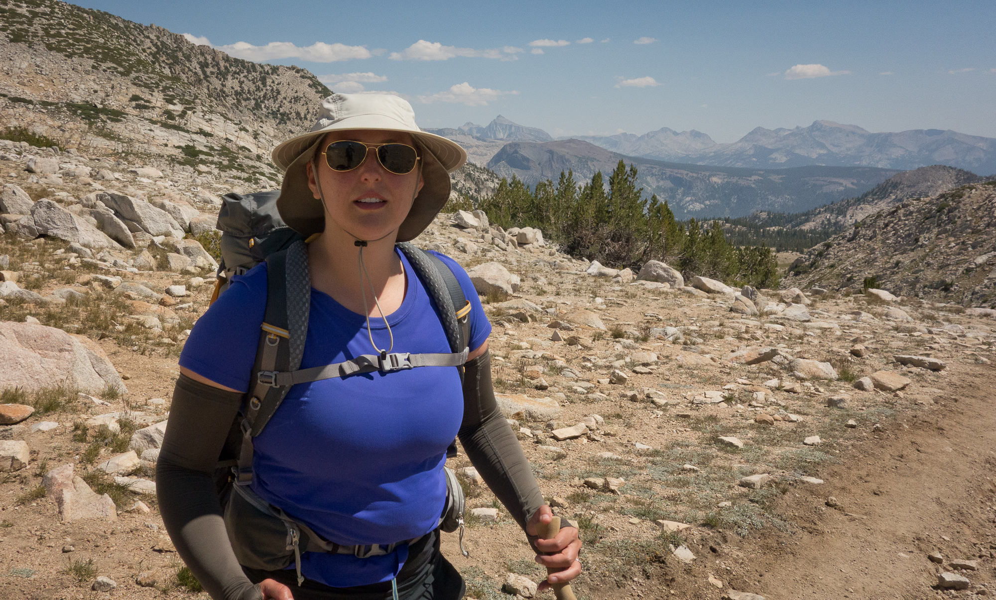
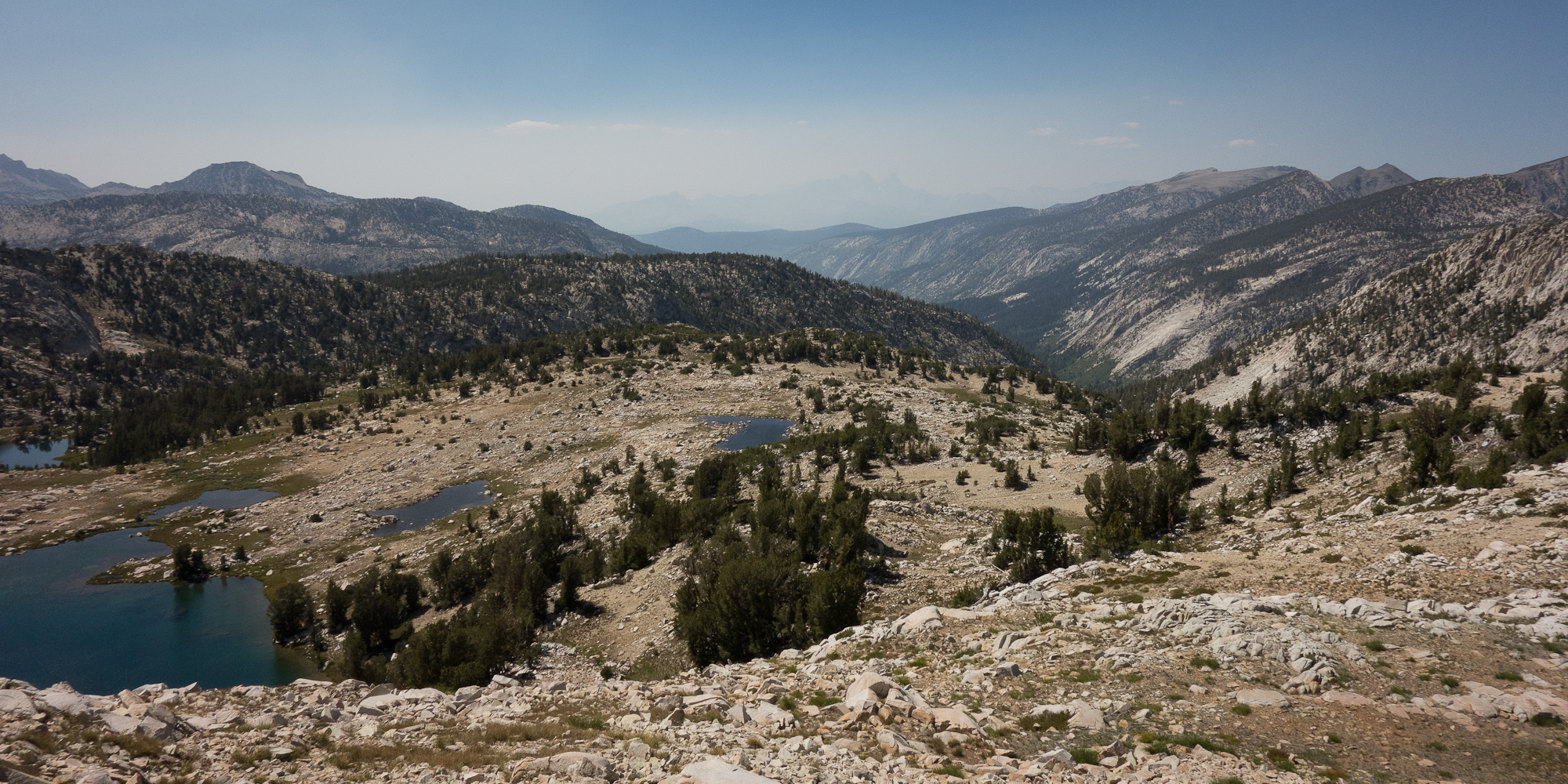
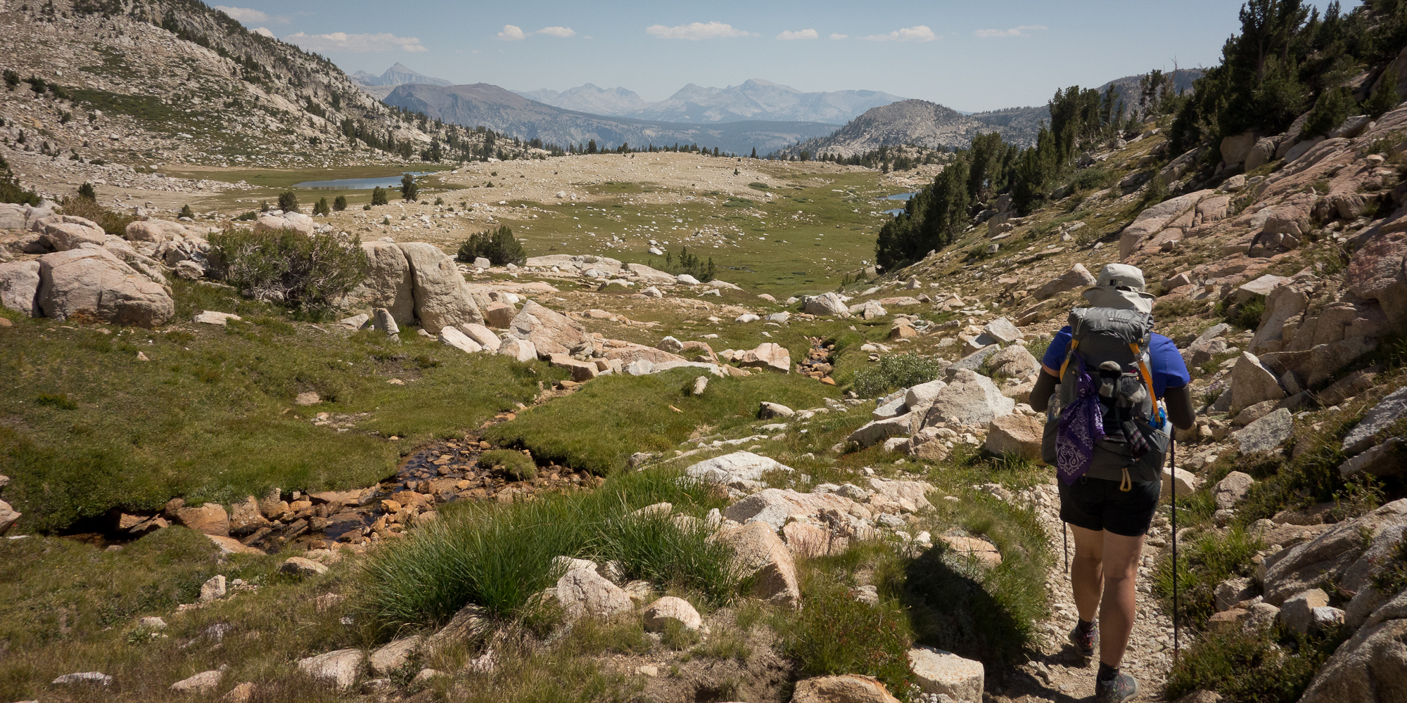
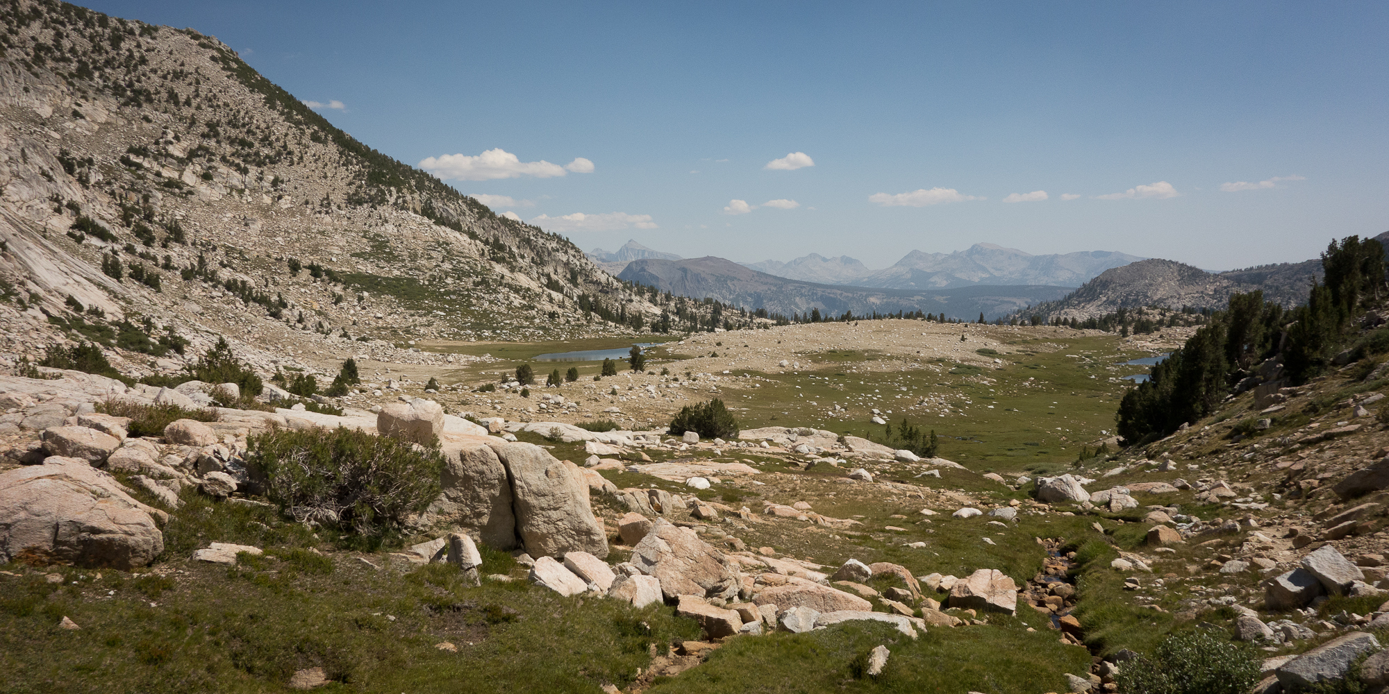
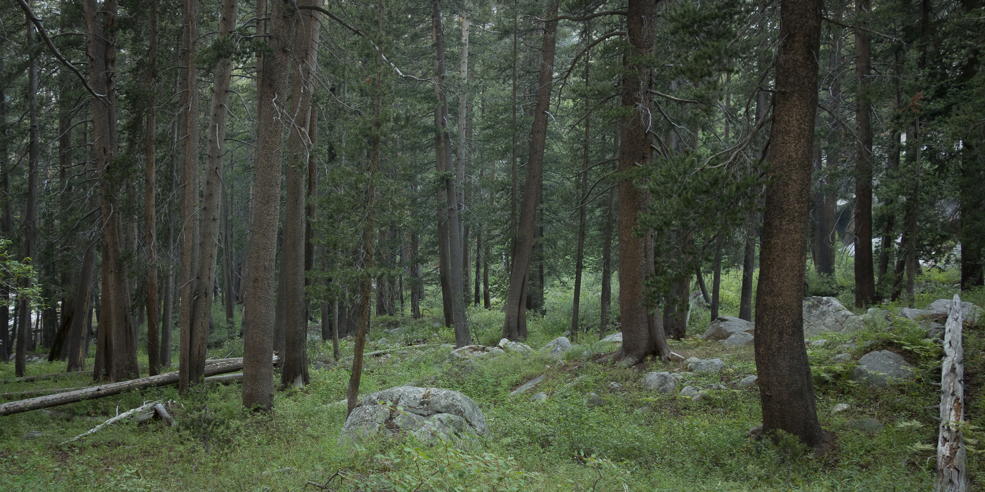
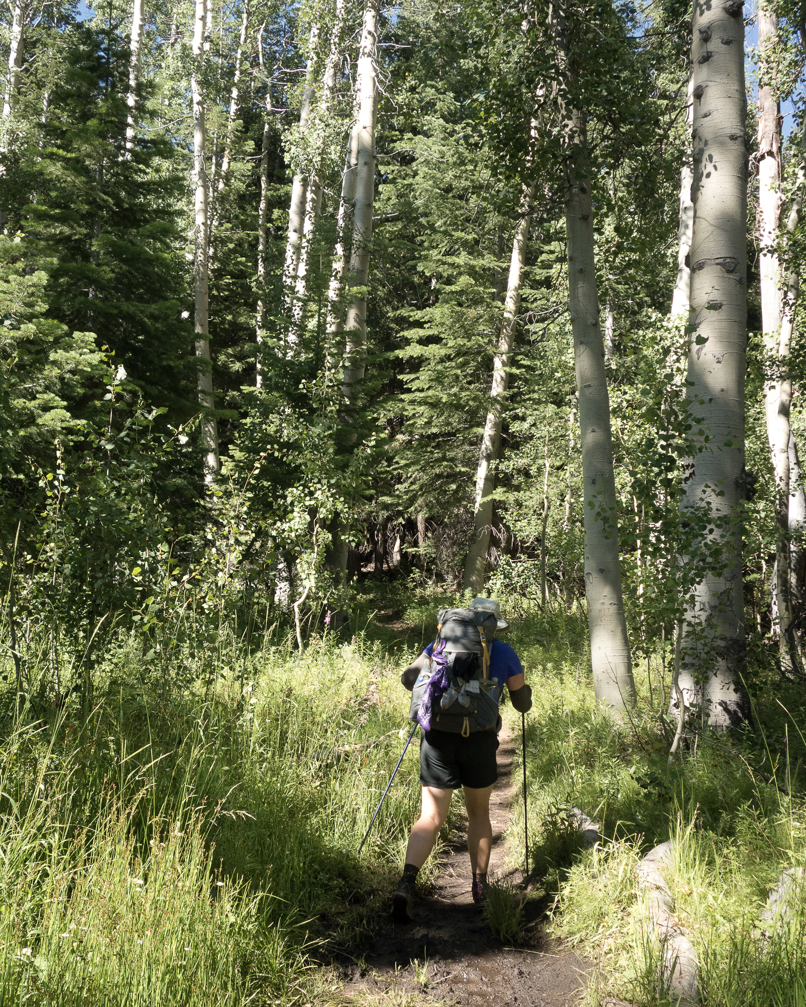
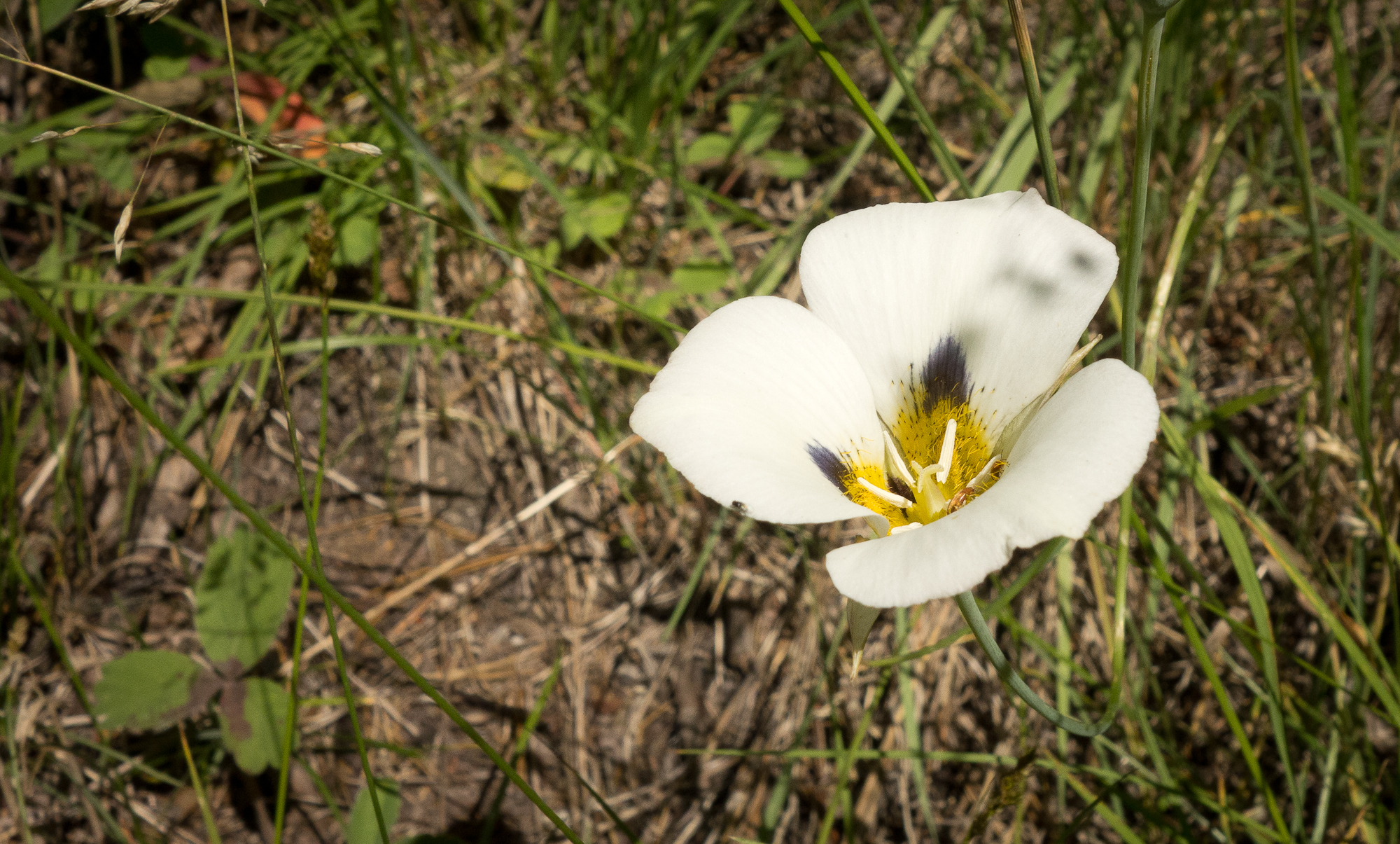
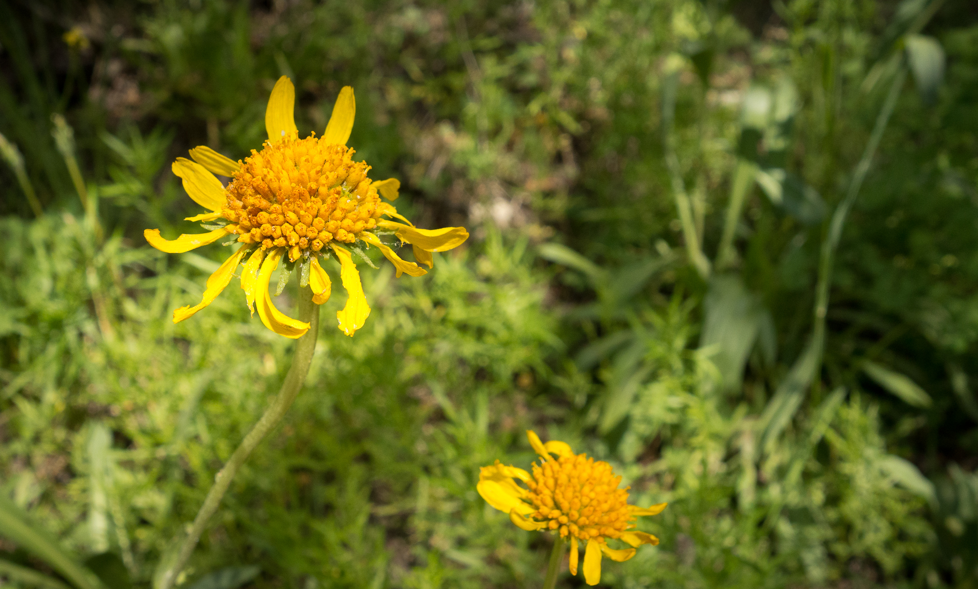
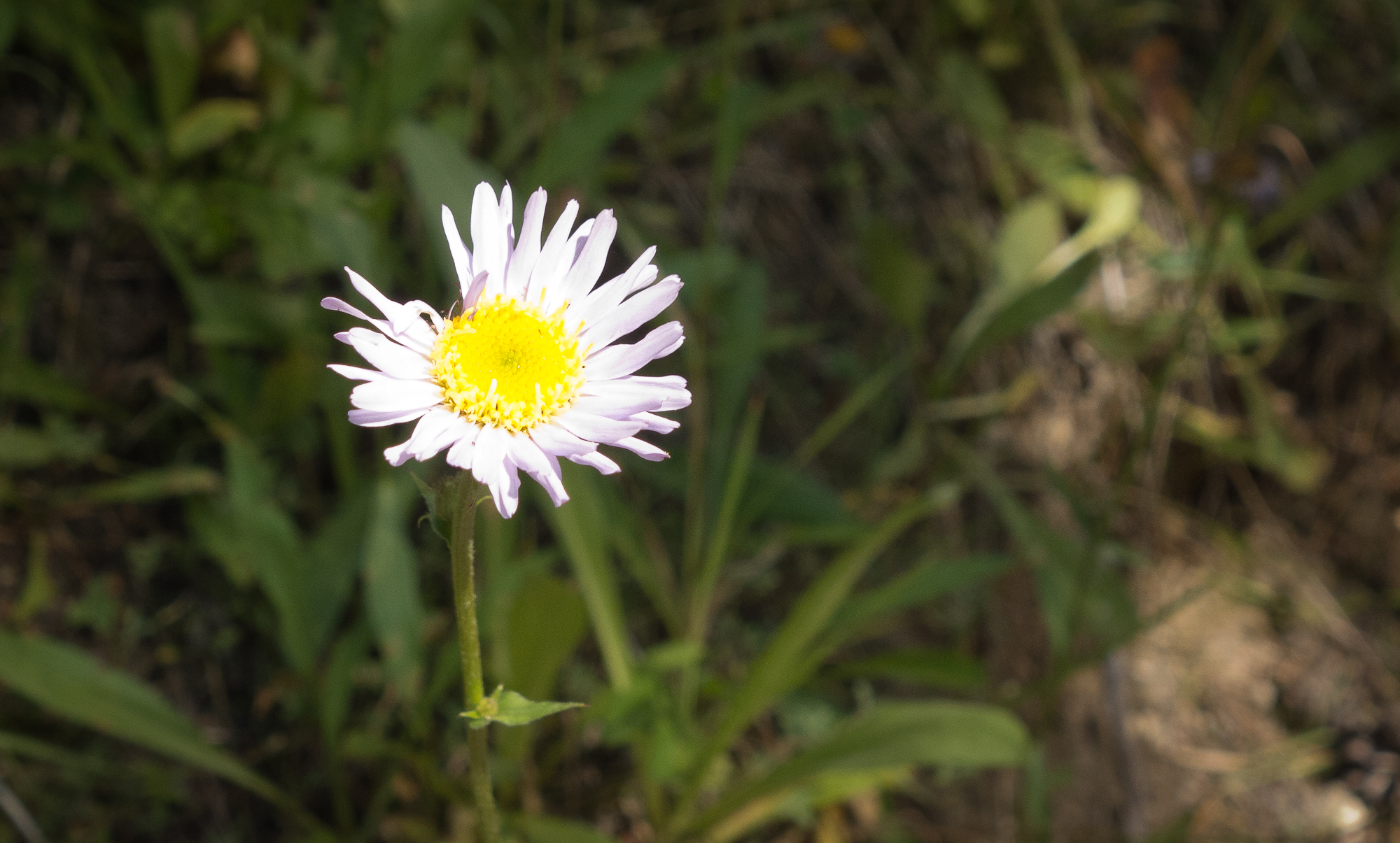
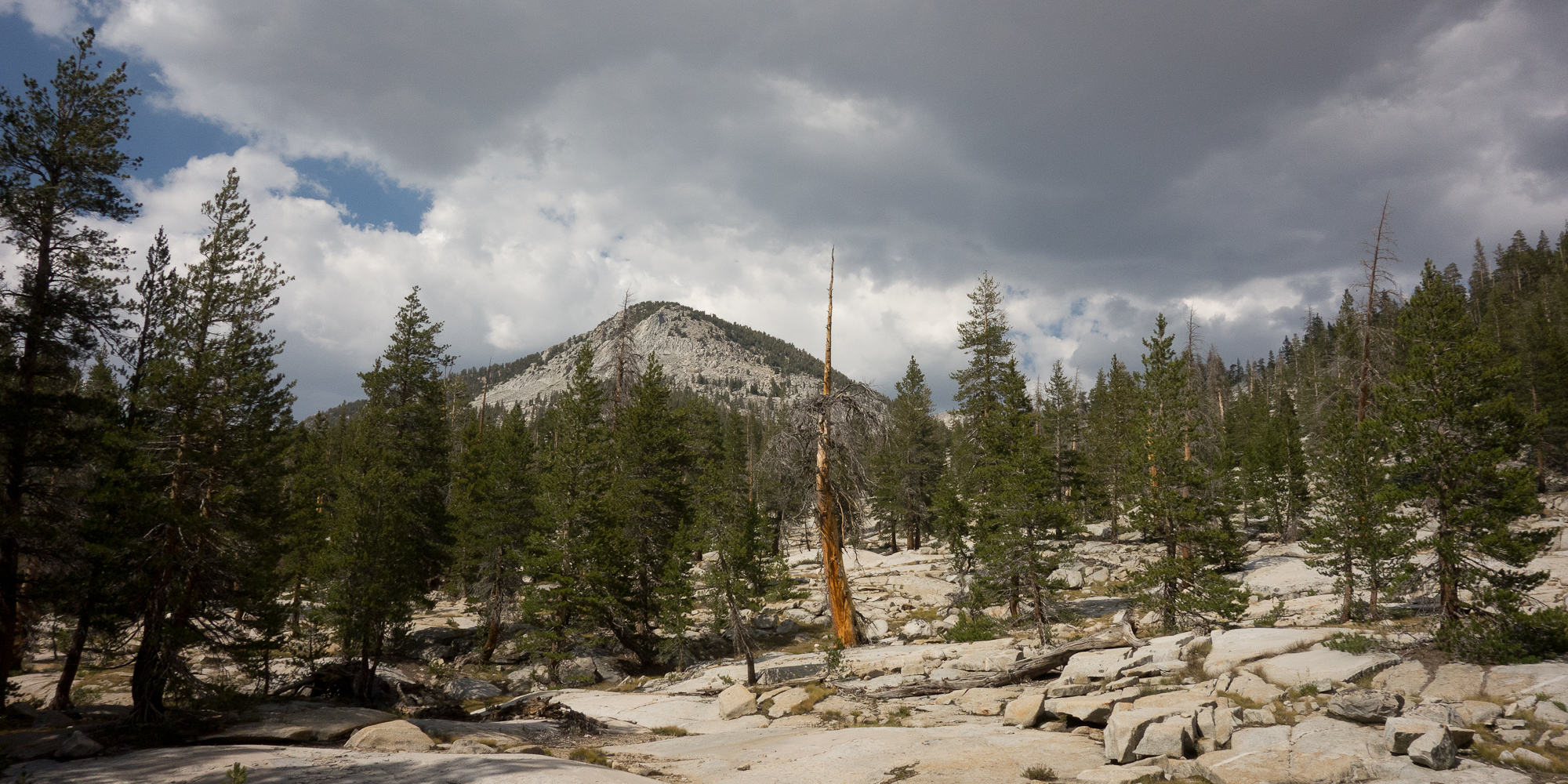
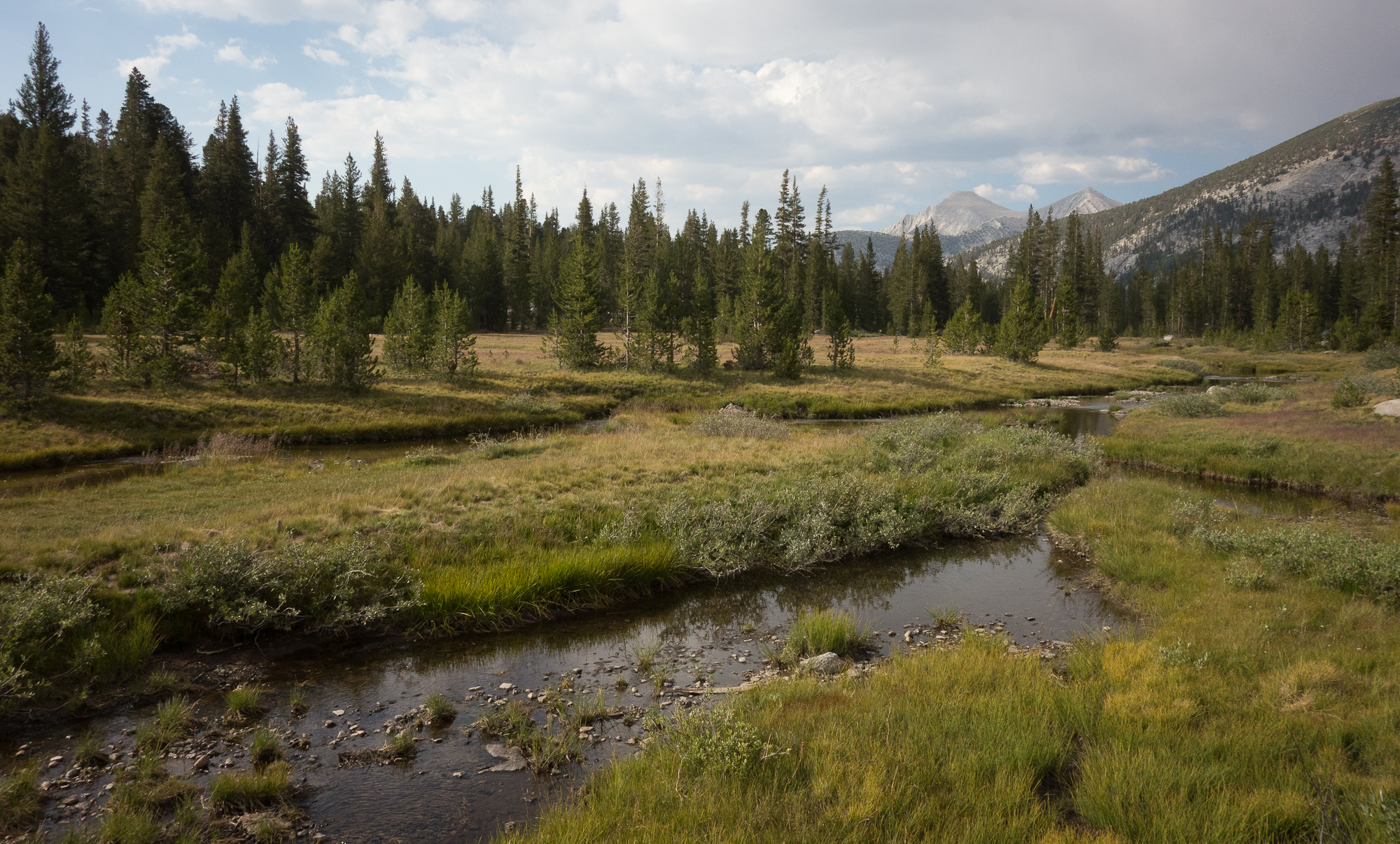
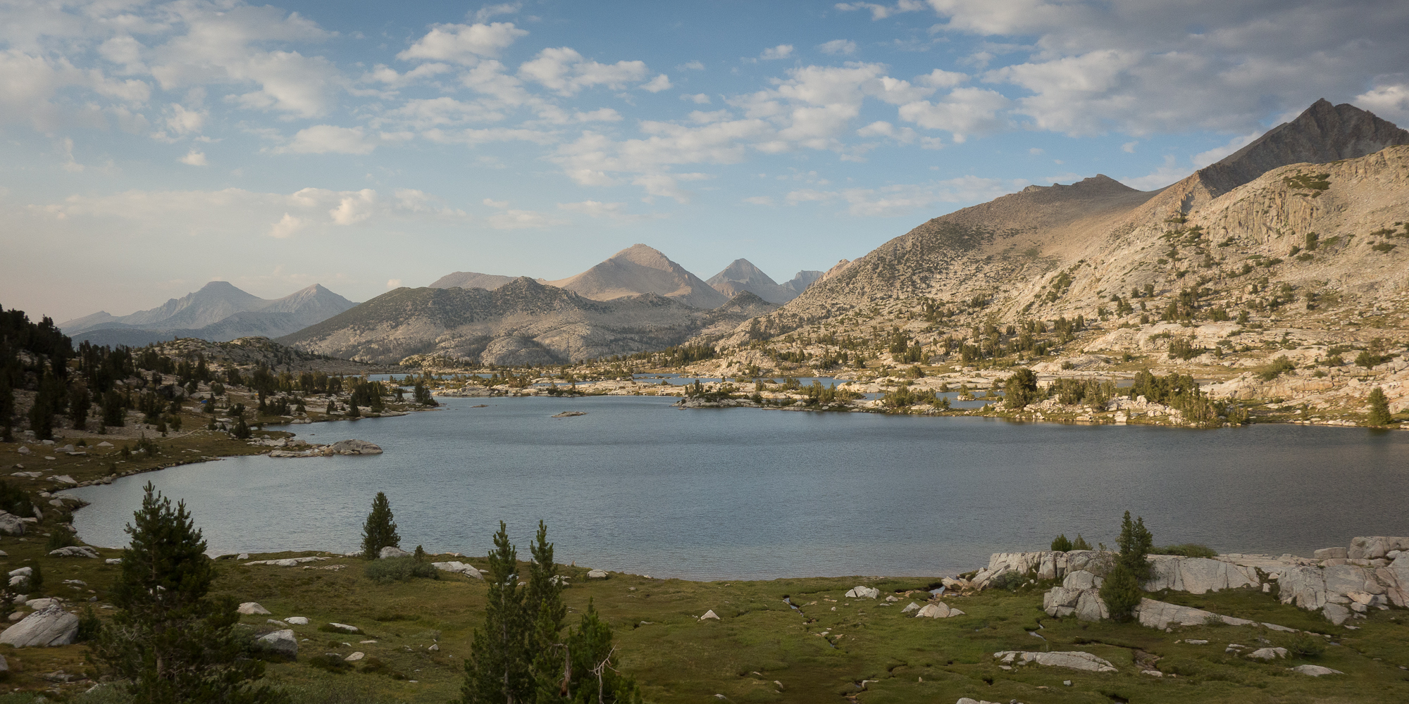
Gaining more elevation, we left Bear Creek behind and the trail opened up to some sweet meadows.
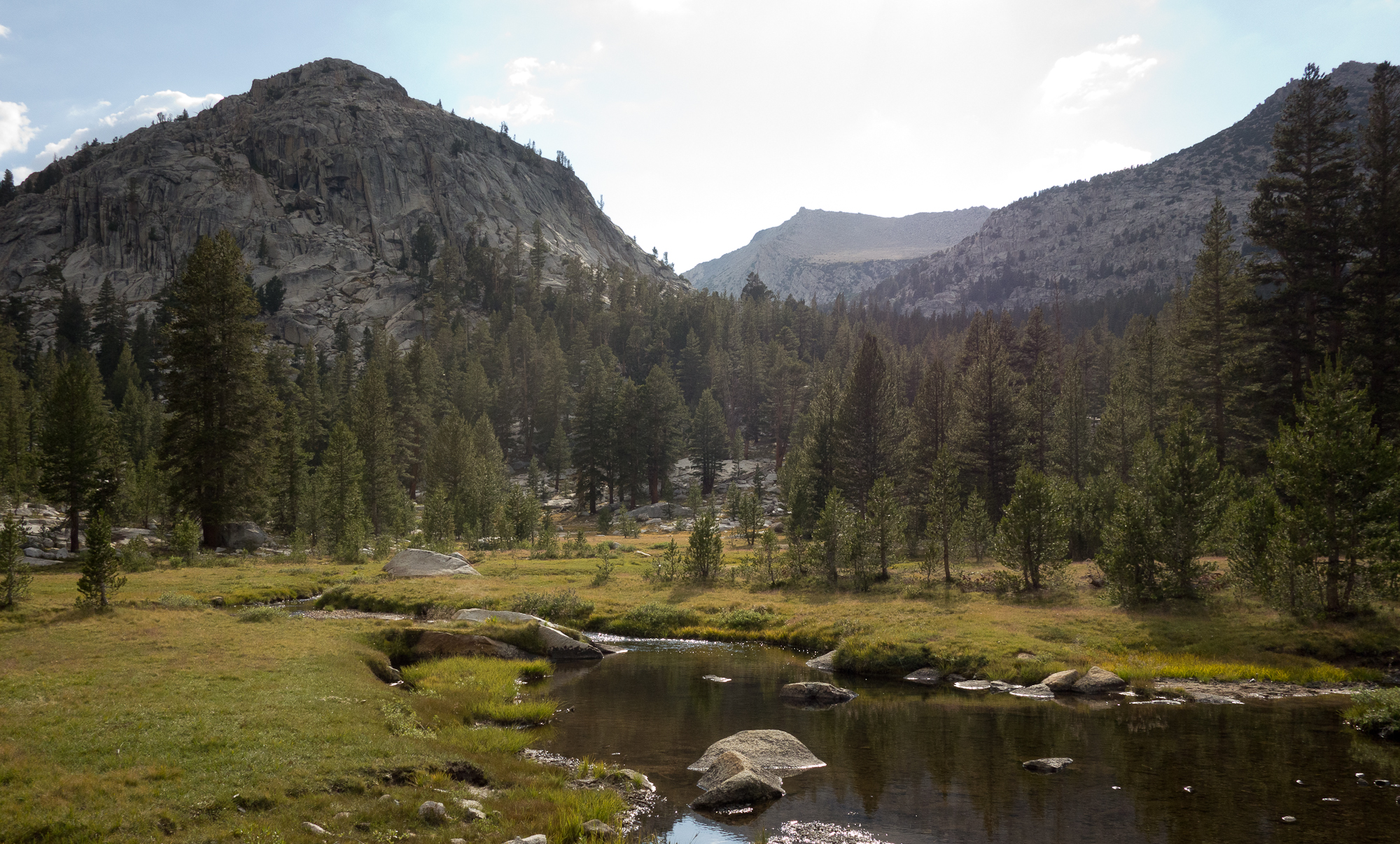
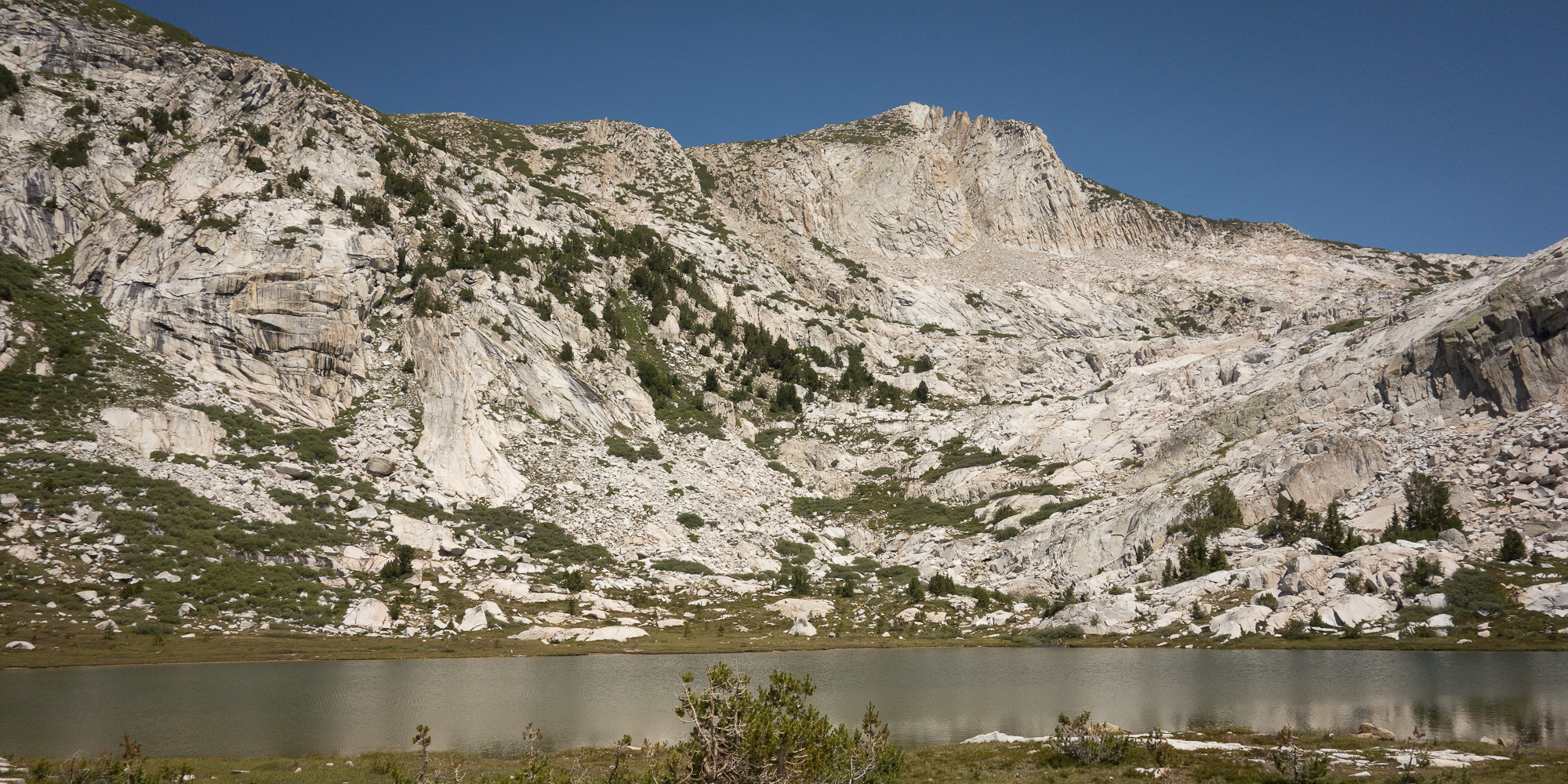
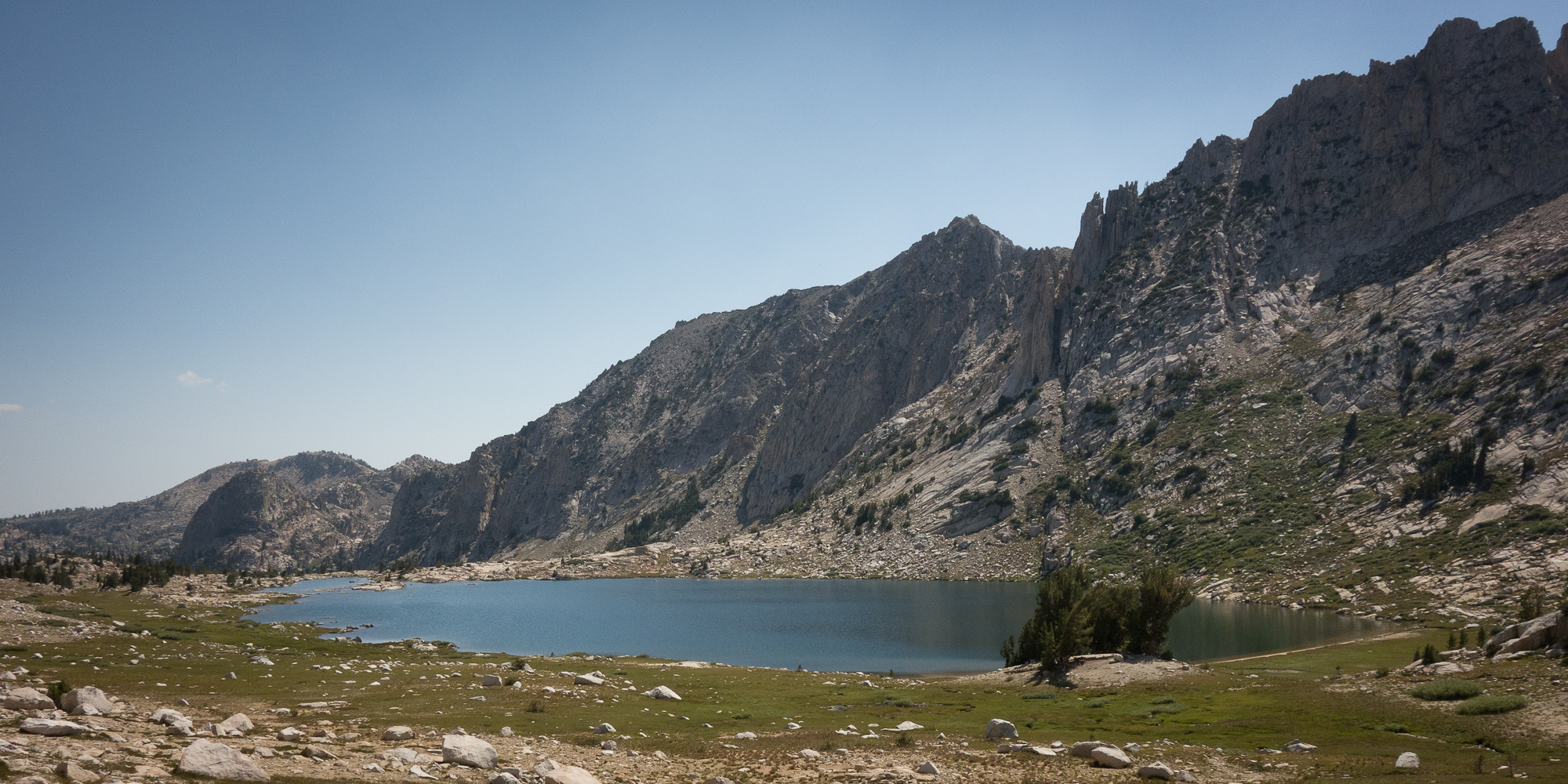
Our search for a good campsite began when we hit Marie Lakes, just shy of 6 pm. The wind had picked up and was blowing us about. Plus it started to rain. We pulled snickers bars out of the bear can and hiked on trying to find a good spot that was out of the wind a bit. We ran into Dick and Manuela, then a couple hundred feet after, Steve and Emma. Hadn’t seen either since Red’s Meadow.

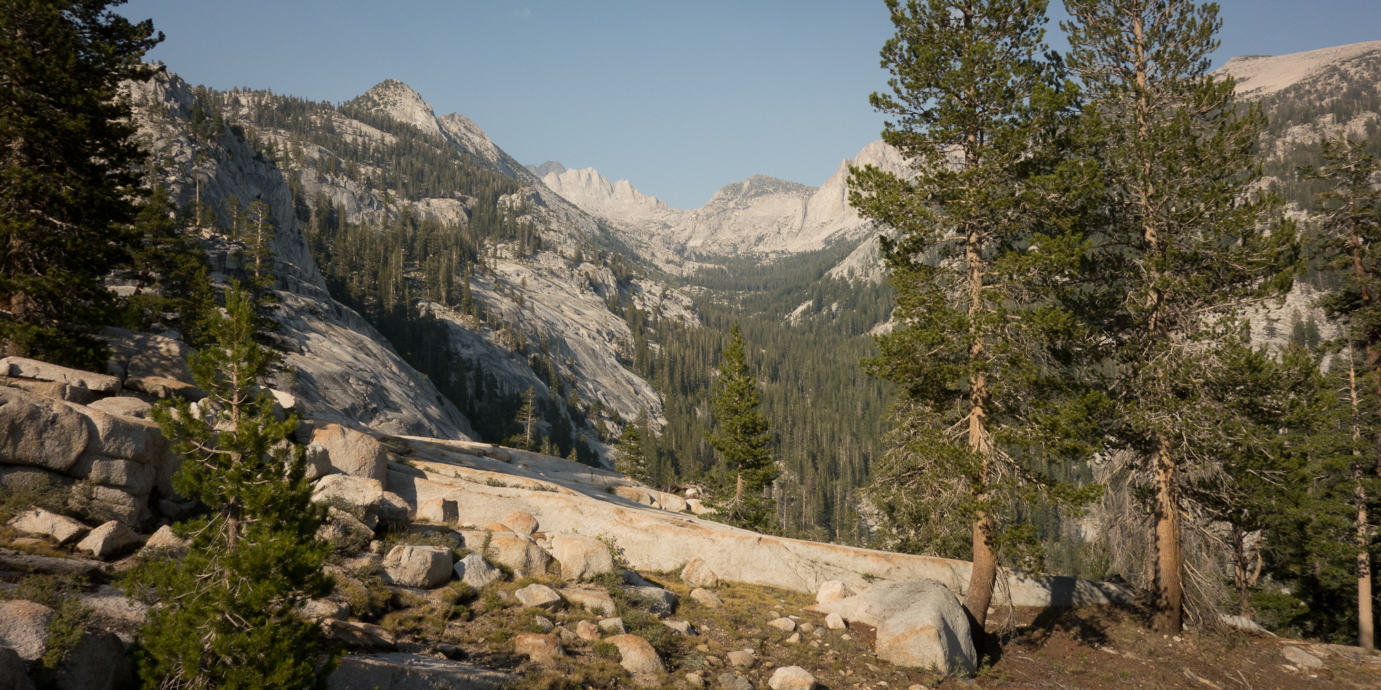
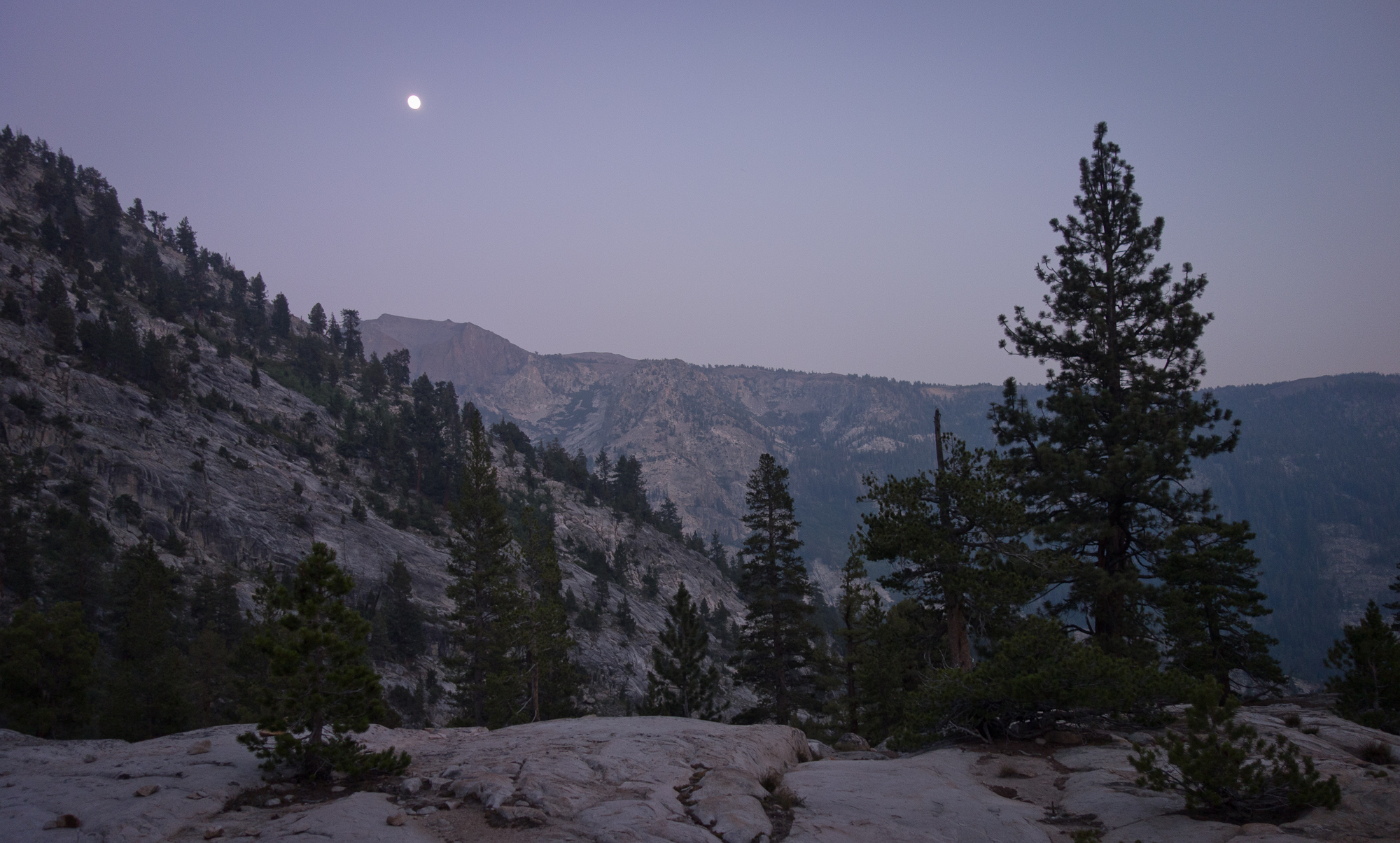
We thought we were going to camp at Marie Lake right before Selden pass. One of us is a bit more worried than the other about lightening strikes up high on the passes so that person insisted we pick up our packs and get over the pass.
At 6 pm in the evening.
Maybe not the best decision we ever made to push over a pass that late in the day but now we are okay, fed, warm, and in our tent. From Marie Lake to Selden pass it was really only 300 more feet of up to make the pass. I am really surprising myself with my ability to keep hiking an clock 16+ mile days.
Selden pass, brought to you by snickers bars, fear of lightening, and adrenaline.
I was cold and wet (sweat) by the time we started dropping down the other side and looking for a camp site. Next time I want to make a less rash decision as the storm didn’t develop. We ran into White Wolf again, another dude we hadn’t seen since Red’s Meadow. He pointed out a protected campsite for us up against a large boulder as it was very windy.
Tomorrow we hit Muir Trail Ranch, our official half way point and last re supply. I’m looking forward to rummaging the hiker barrels and finding goodies.
I hope my feet can keep up though. My arches hurt and tingle right now.