Pt. Reyes Hike

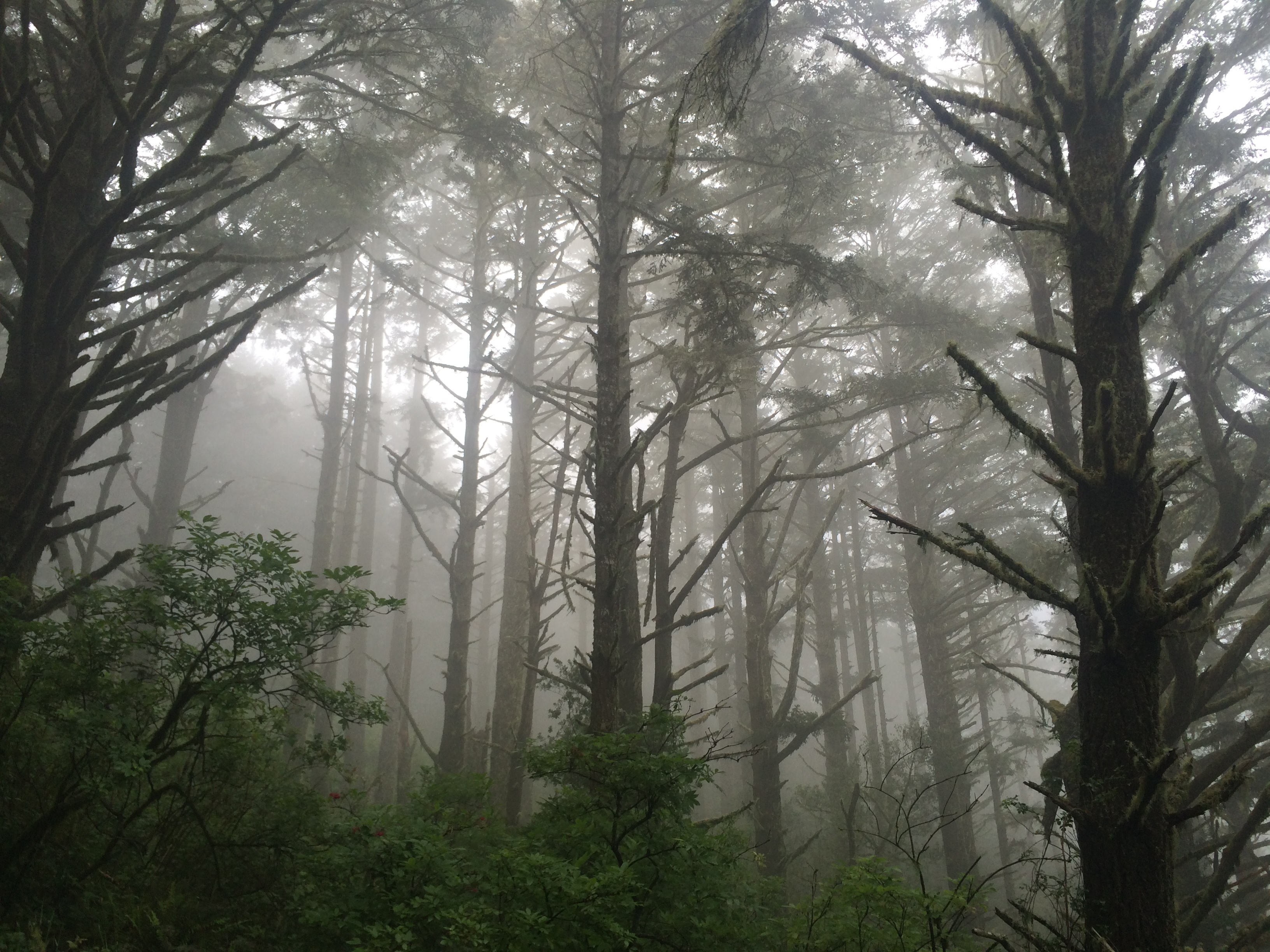
I love Pt. Reyes. It has all the good parts of a hike in my mind: big trees, beach, babbling creeks, fog, waterfalls, bunnies, and ice cream sandwiches at the end of the day. We’ve actually done this loop twice, once on Valentine’s day, and again on June 6th.

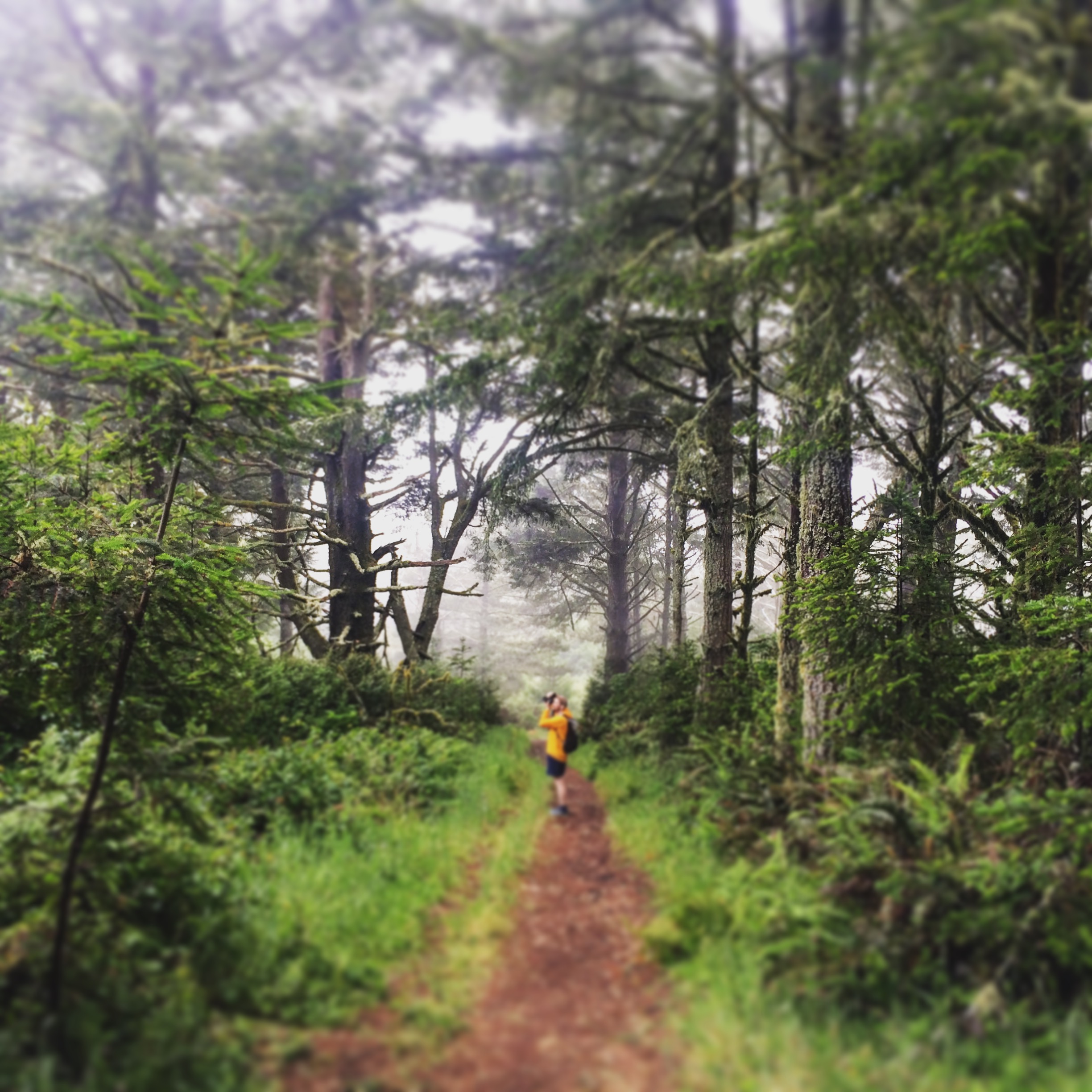
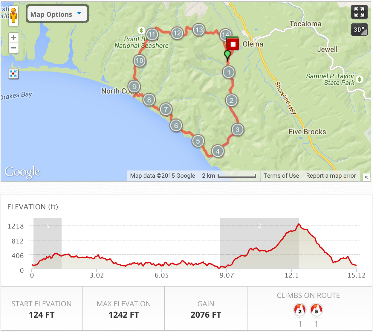
We pick up the trail at the Bear Valley Visitor center. Coming from Oakland the drive takes at least an hour twenty to get out there, not counting the stop at Mollie Stones for sandwiches and snacks. There is no fee to park, which is nice. From the parking lot we set out on the Bear Valley Trail, which is a nice, very low grade, path.

On Bear Valley Trail
Giant banana slug
Giant banana slug

It picks up a bit of elevation and then drops back down to the beach. From there we turn right and pick up the coast trail, which believe it or not, follows the coast line for a couple miles.

IMG_8053
Made it to the beach!

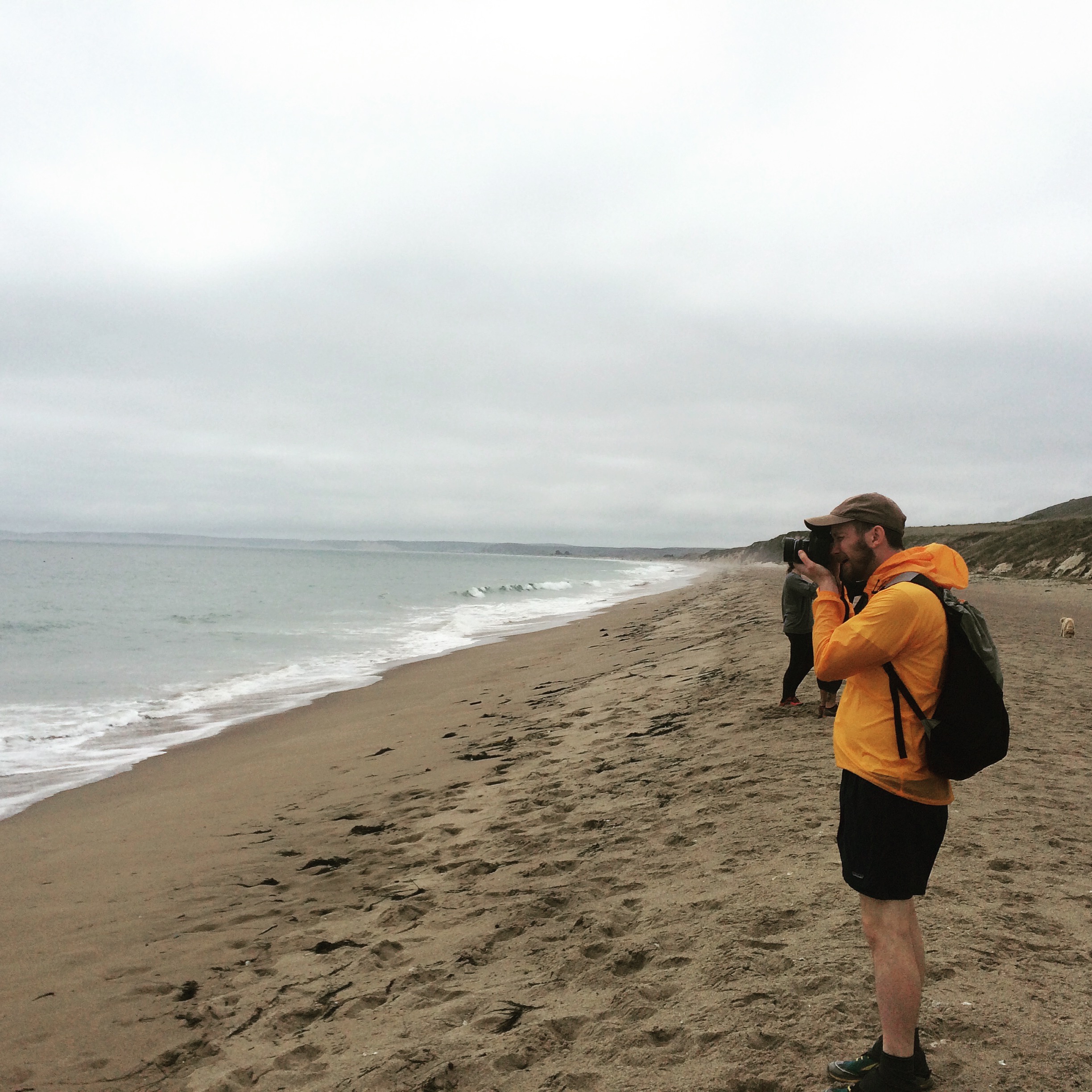
We stopped for lunch at the Coast Campground, just past 8 miles into our hike. A Boy scout troop was set up, playing football, leaving their food out for the crows to steal, etc, etc. The beach was nice and fogged in. While I could hear the fog horn clearly, I could just barely make out Pt. Reyes Lighthouse in the distance.

From the beach we turn back east and head up the Fire Lane Trail. It’s a good climb of about 800 feet.  We spotted coyote but I didn’t get a shot of him before he disappeared.

IMG_8049
Lots of fog.
IMG_8077
Close to the summit in the fog
Pt. Reyes Map and Elevation
Beer and Taco reward

Hiking the John Muir Trail

Welcome to our John Muir Trail blog. We are documenting the process, training, planning, and all the type two fun involved in hiking the John Muir Trail.  As of today, we are 15 days away from our start date in Yosemite Valley.  We’ve been doing a lot of training, but the hike yesterday left me a bit concerned.  Kevin had done the hike to the top of Mt. Diablo twice so he knew what to expect. It is 3,200 of up over 5 miles.  We started the day a little late at 1 pm after scouring the nearby Sports Basement for more gear (gotta get the gear). The late start meant we started our climb at the hottest point of the day, which probably added to my misery.

Mt. Diablo
Kevin looking west on Mt. Diablo

While the slog up the mountain was rough, filled with whining, contemplating turning around, and full on sitting down in the middle of the trail, the exhilaration of making it to the top was real.  I pretty much cried eating our lunch of Subway sandwiches and Clif bars.


IMG_0201
View looking North from the summit of Mt. Diablo
Trail map and elevation gain

The view from the top of Mt. Diablo is fantastic. You can drive directly to the top and avoid the 13 mile hike.

This training hike taught me a couple things:

1) Taking slower steps when it is hot and steep is better than trying to go fast and stopping every 5 minutes.
2) Always bring more water than you think you’ll need.  We each drank 2 liters on the way up.