8/6/2015 Bubbs Creek to Wallace Creek
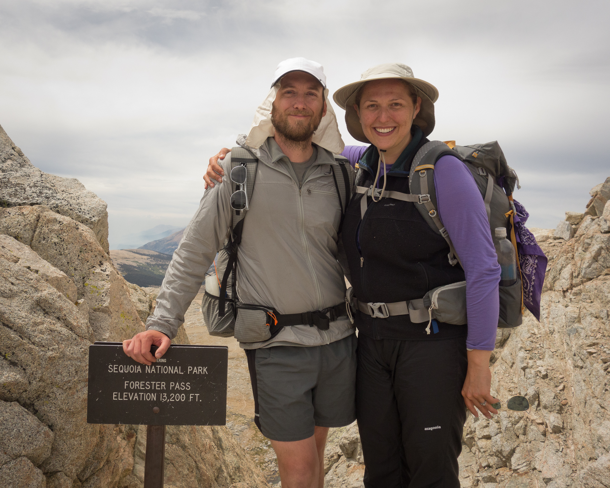
14 miles and Forester Pass at 13,153′!
We made it over Forester pass today! Biggest pass yet!
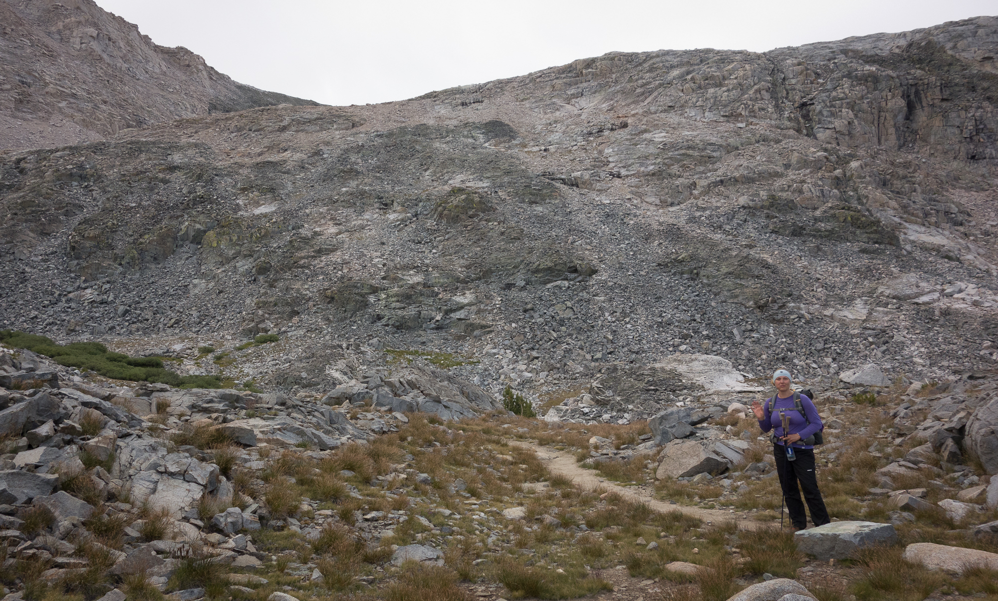
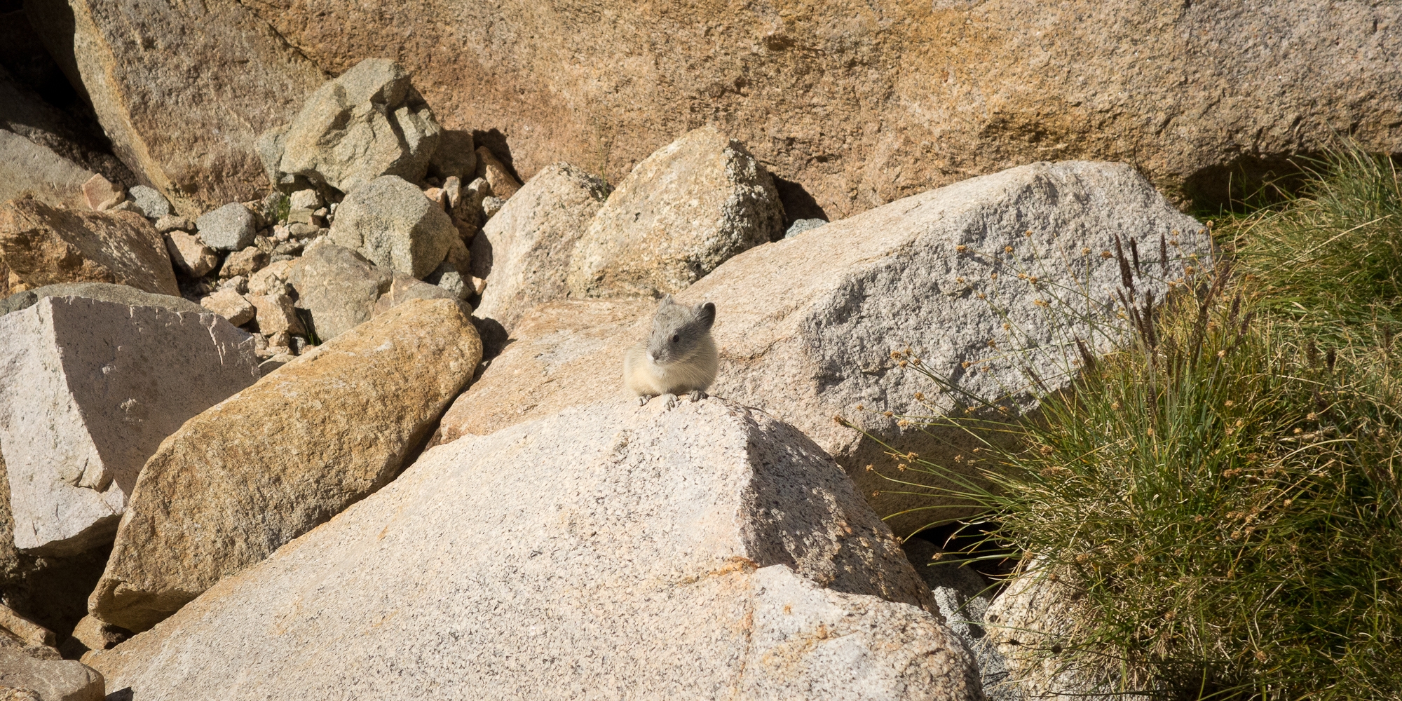
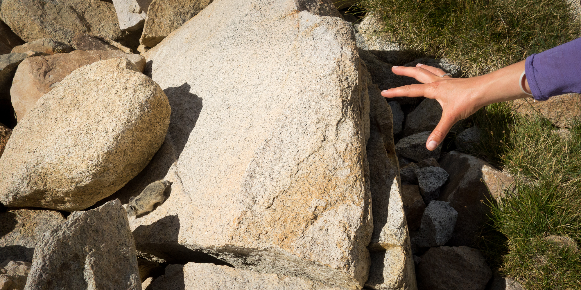
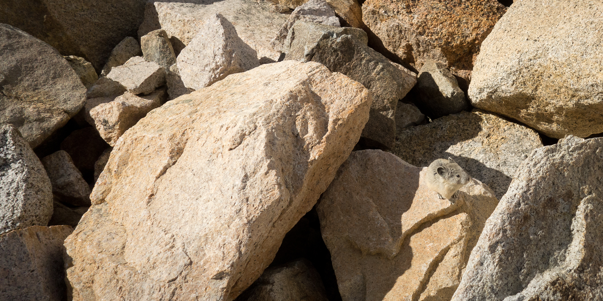
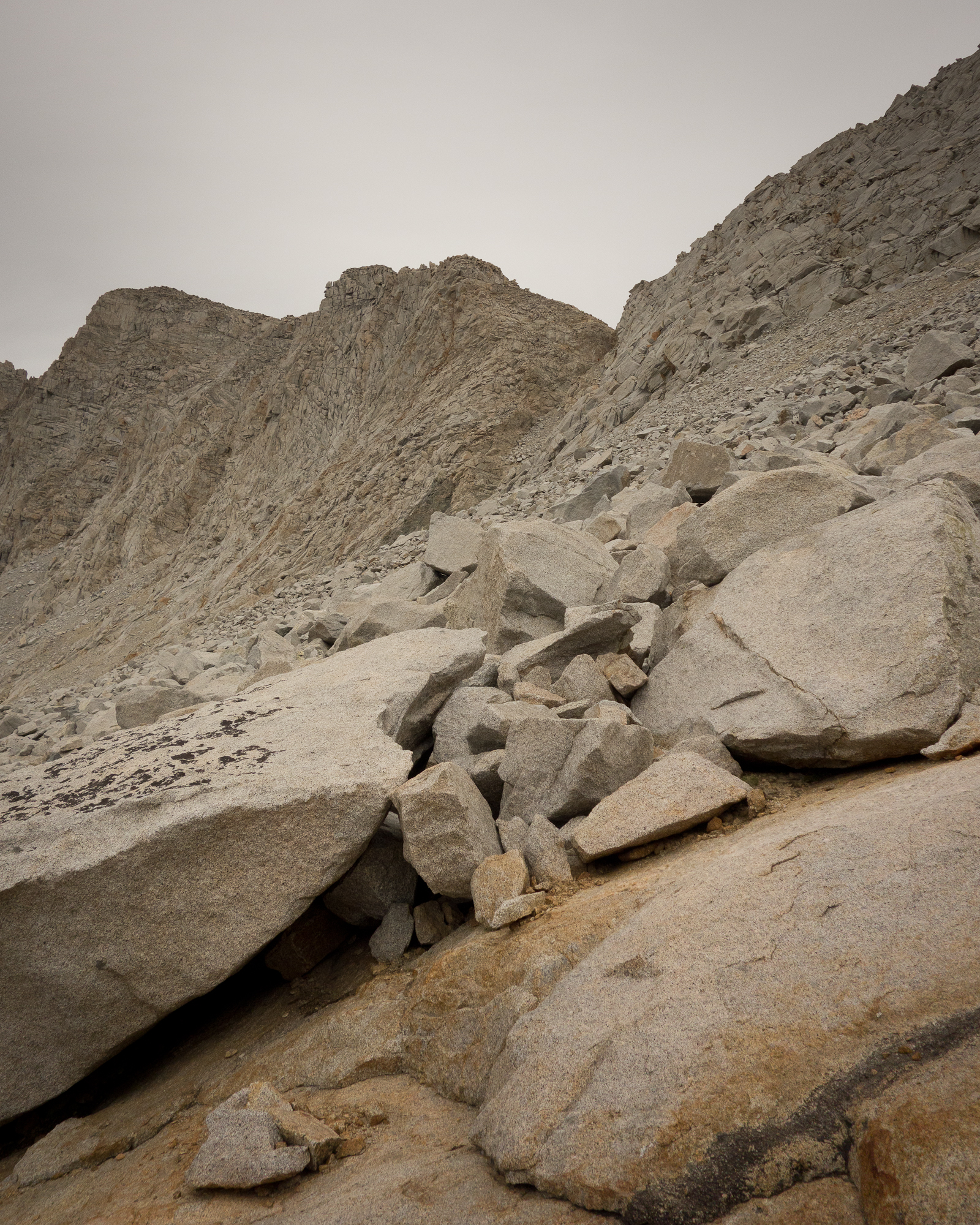
It was a long, steady climb to the top of Forester Pass. On the switch backs up a pika came out and sniffed my shoe. Literally ran around my feet and sniffed my shoe. It was the most amazing experience. More amazing than when Magic Trail Bunny told me he believed in me. I nearly touched the pika, but I bet if did the pika would bite me and I’d get rabies.
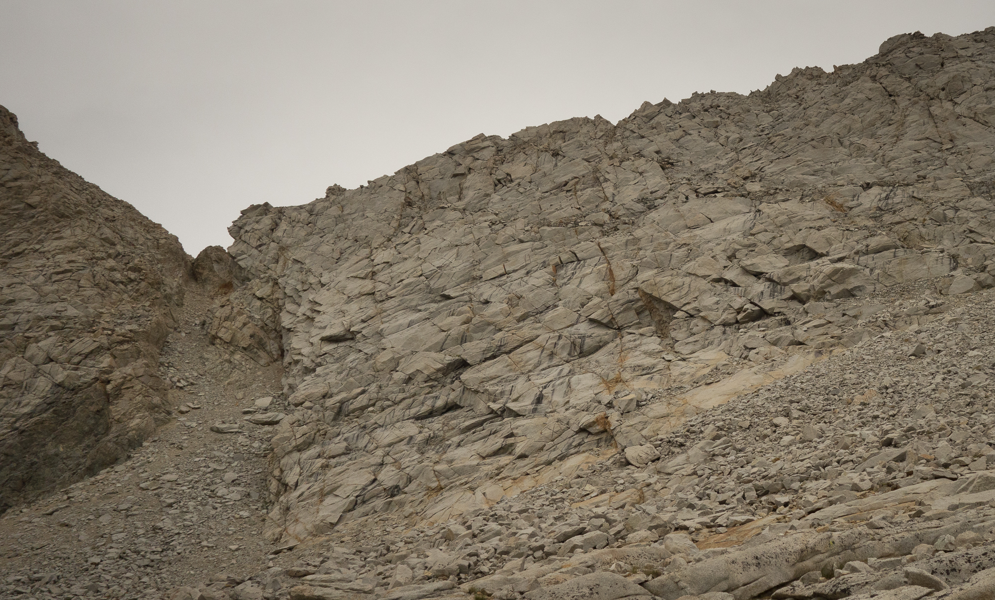
Took us about three hours to climb the final 4 miles from camp. This pass felt much easier than Glen Pass. It was a good steady grade going all they way up. None of that crazy rocky steep nonsense like Glen Pass.
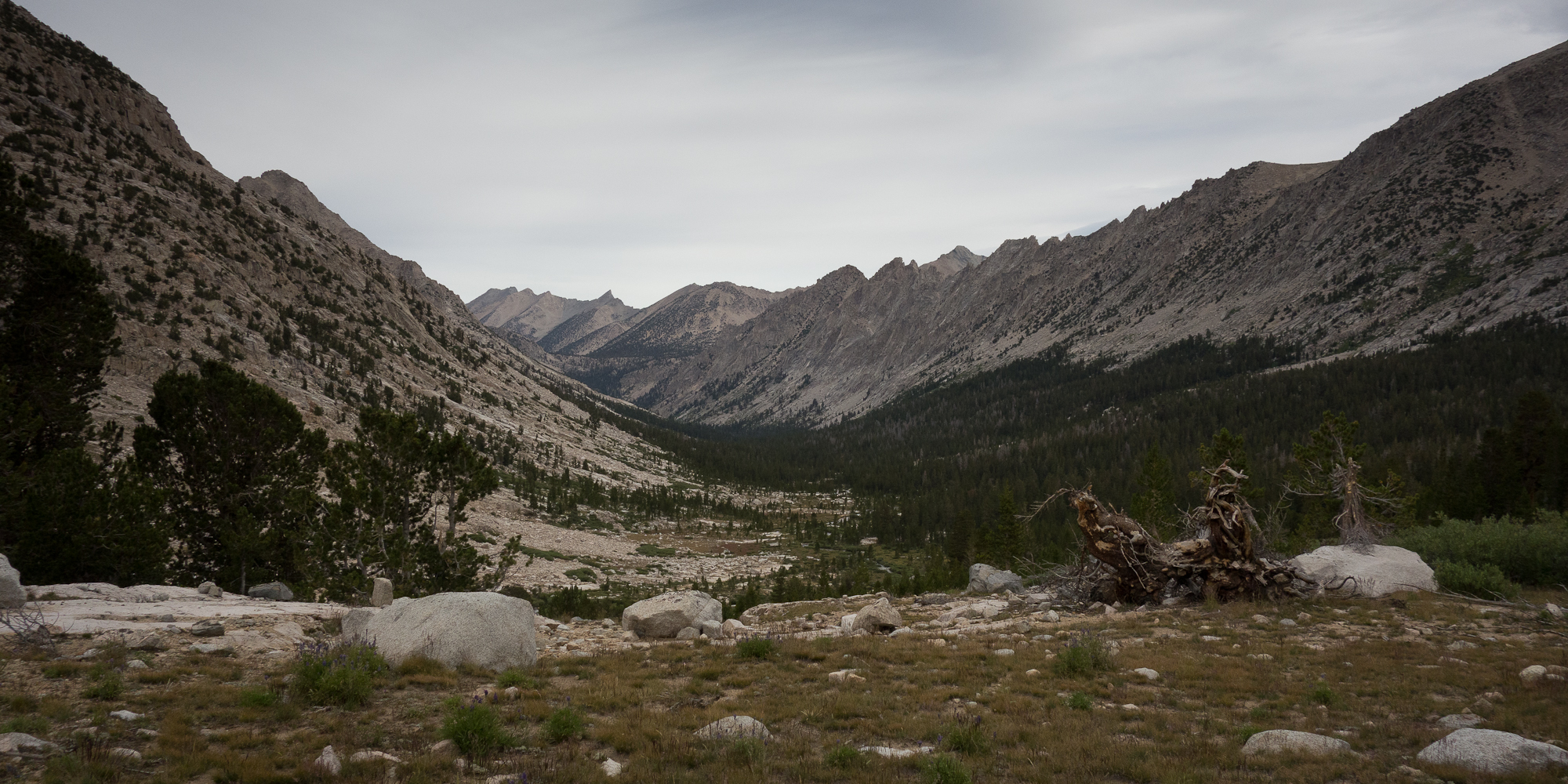

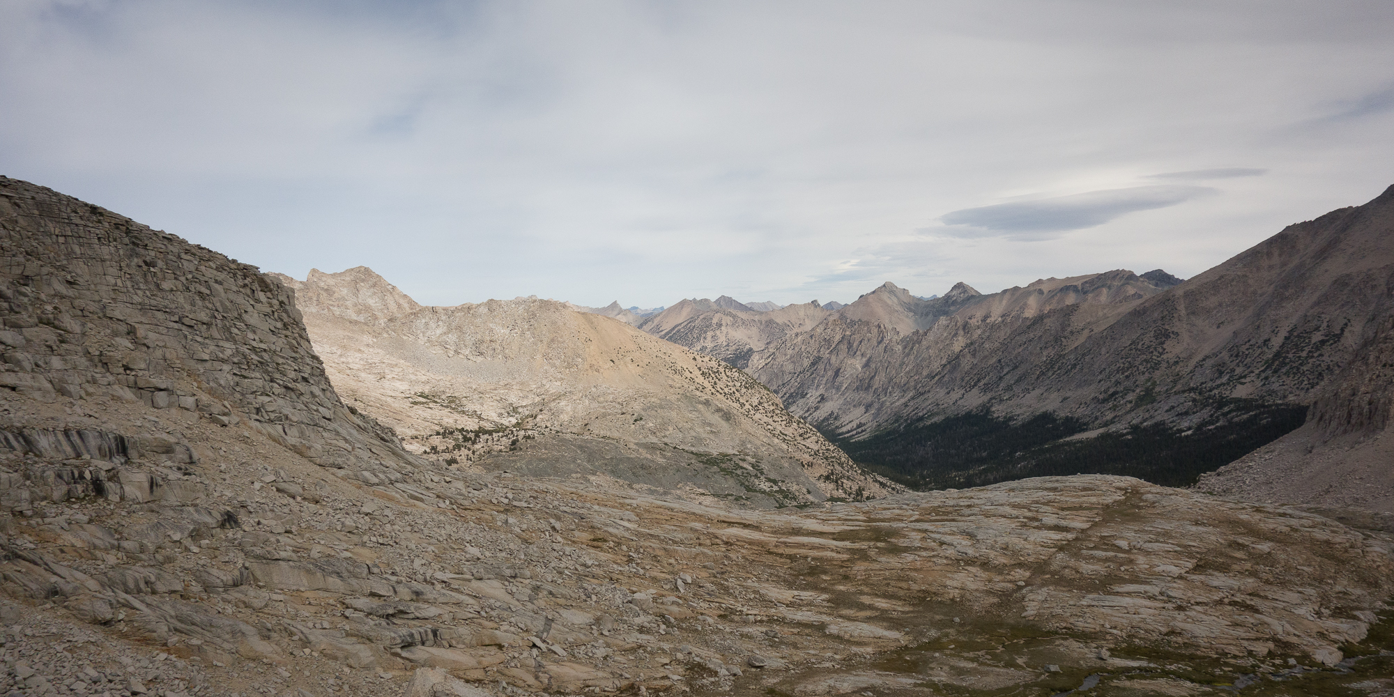
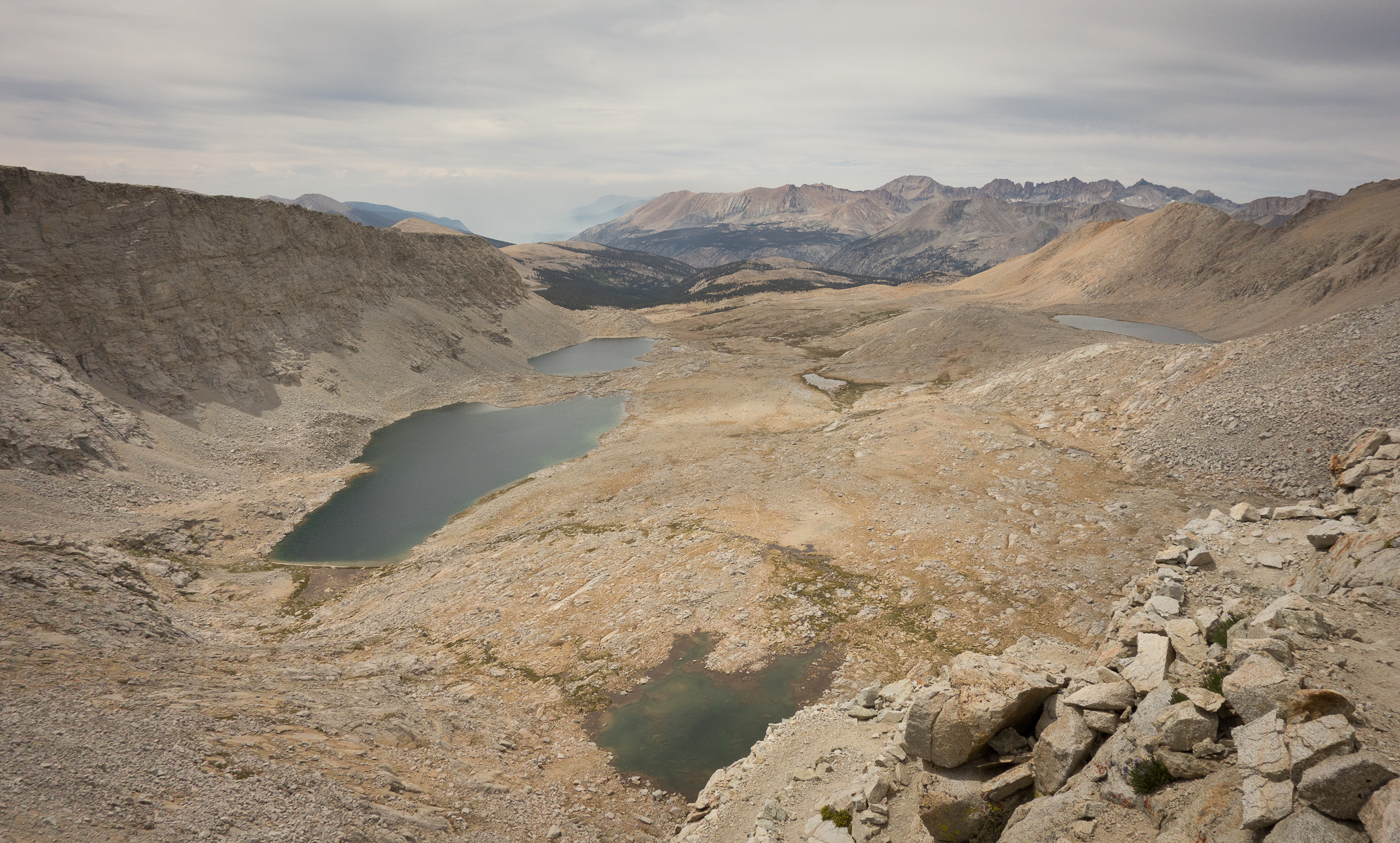
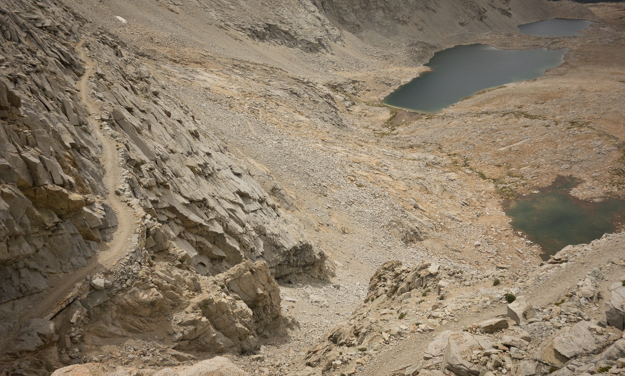
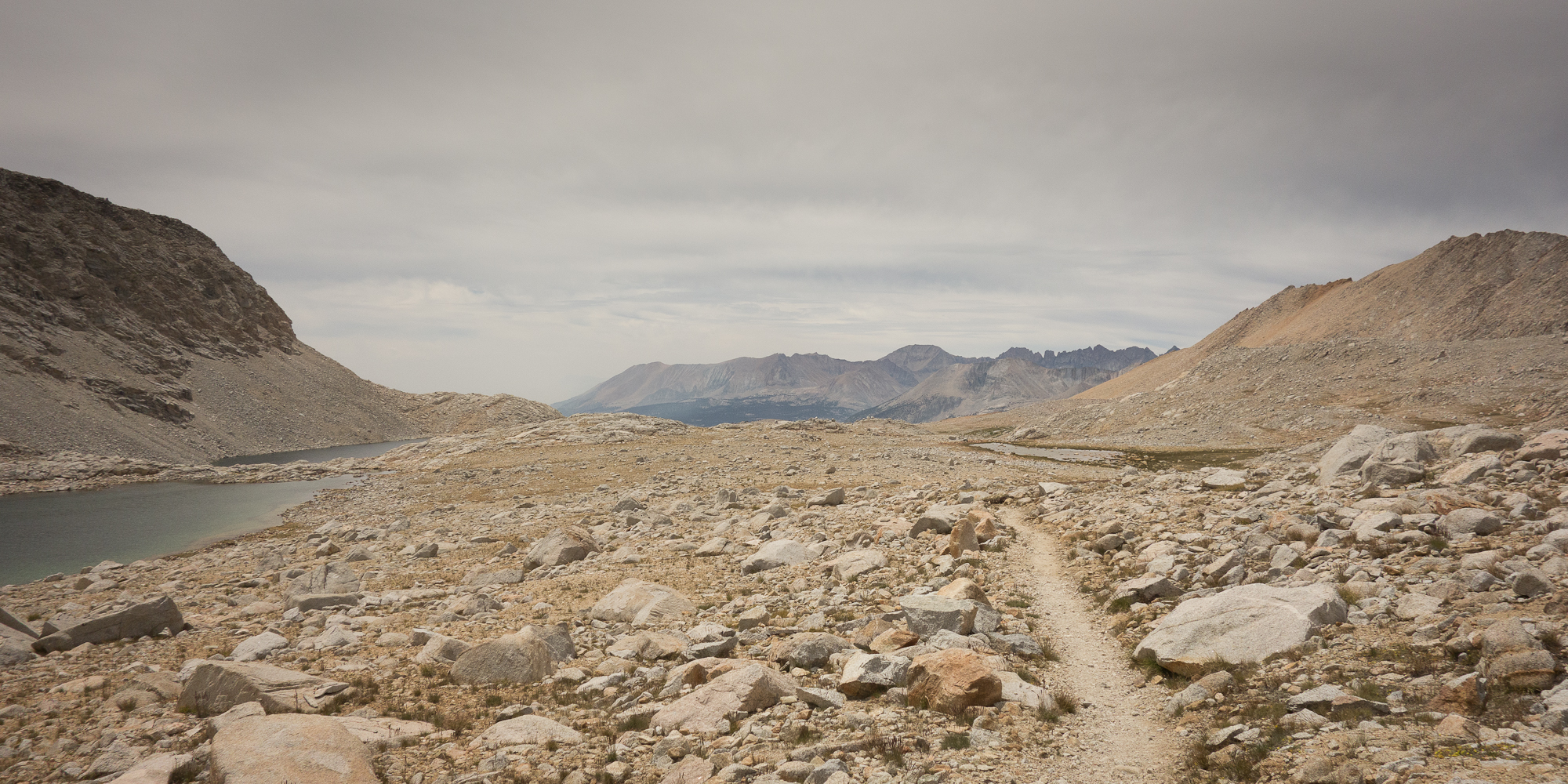
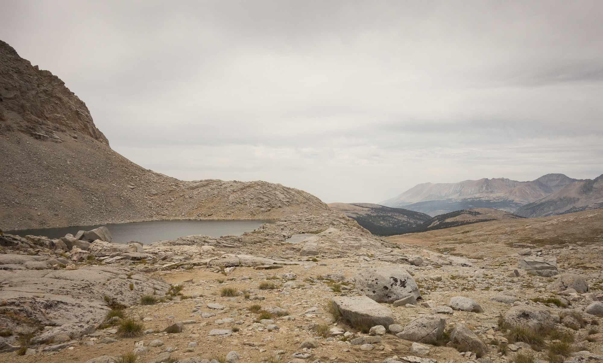
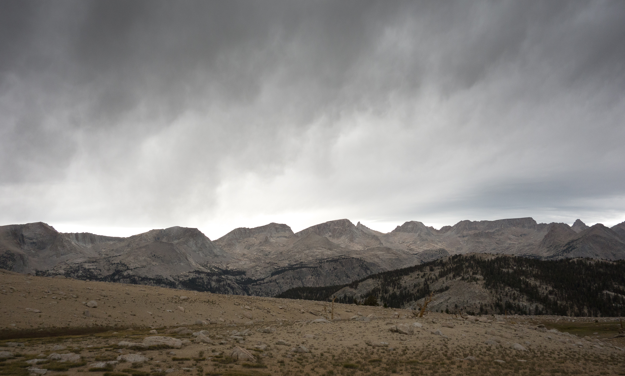
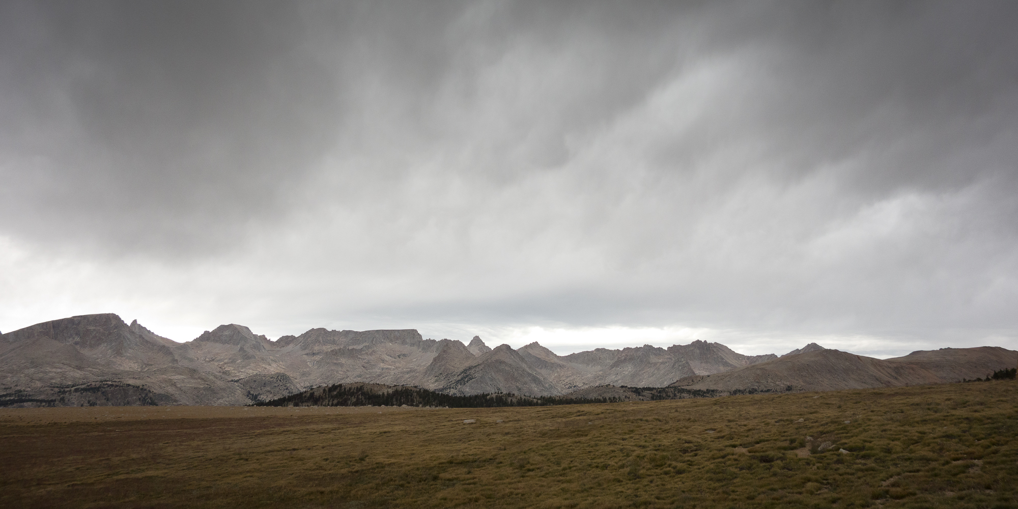
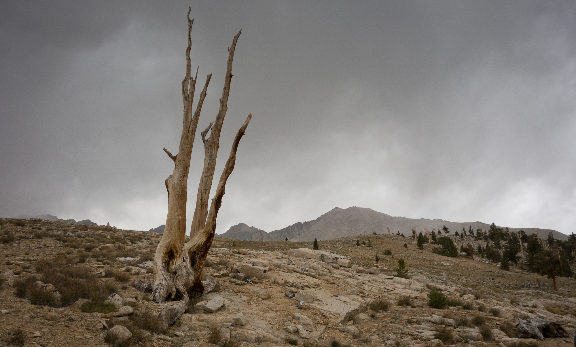
From the top we could see peak after peak of mountains to the north where we hiked through. Then to the south a giant bowl with more mountains. I half expected to be able to see Mt. Whitney from the top of Forester but no such luck. We snapped a bunch of pictures and shared the butter biscuit we have been carrying for the last 100 miles in celebration. Some kid up on the top was searching for cell reception. I had such an urge to toss his phone off the side. There is no cell reception out here and that is the point.


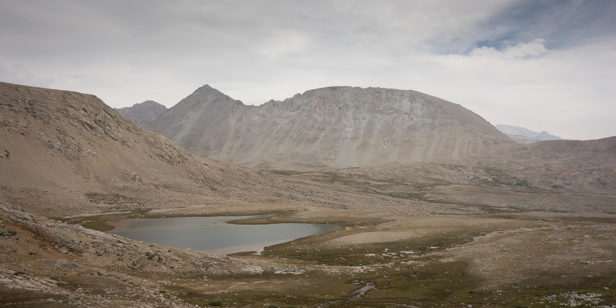
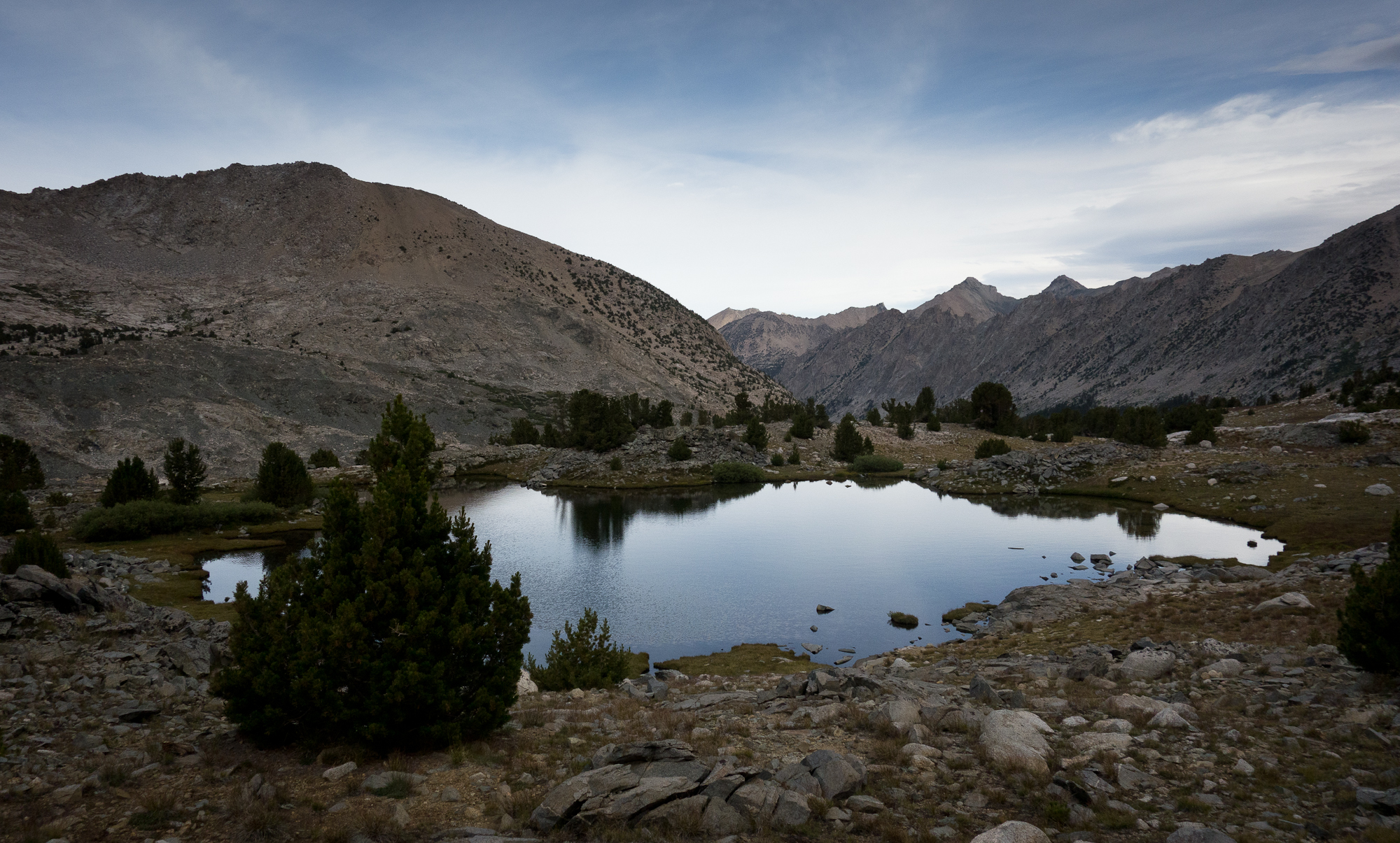
We stopped at Tyndall Creek for lunch. A group of middle aged guys were stopped there as well to pump water and eat lunch. They were free hiking the peaks around us, or at least I think that’s the phrase they used. Basically means they weren’t following any demarcated trails. One guy had slipped on the rocks and skinned up his shins pretty badly. We also witnessed a mouse fall in the creek and nearly get swept away but he managed to grab hold of a stick and climb himself out. He sat on the banks panting for awhile. We were very scared for him.
Can you tell we have a thing for personifying the small creatures we see on the trail? Sorry.
I borrowed this YouTube of Tyndall Creek. Our skis were cloudy and overcast compared to this sunny day, but I wanted to show how lovely the creek was.
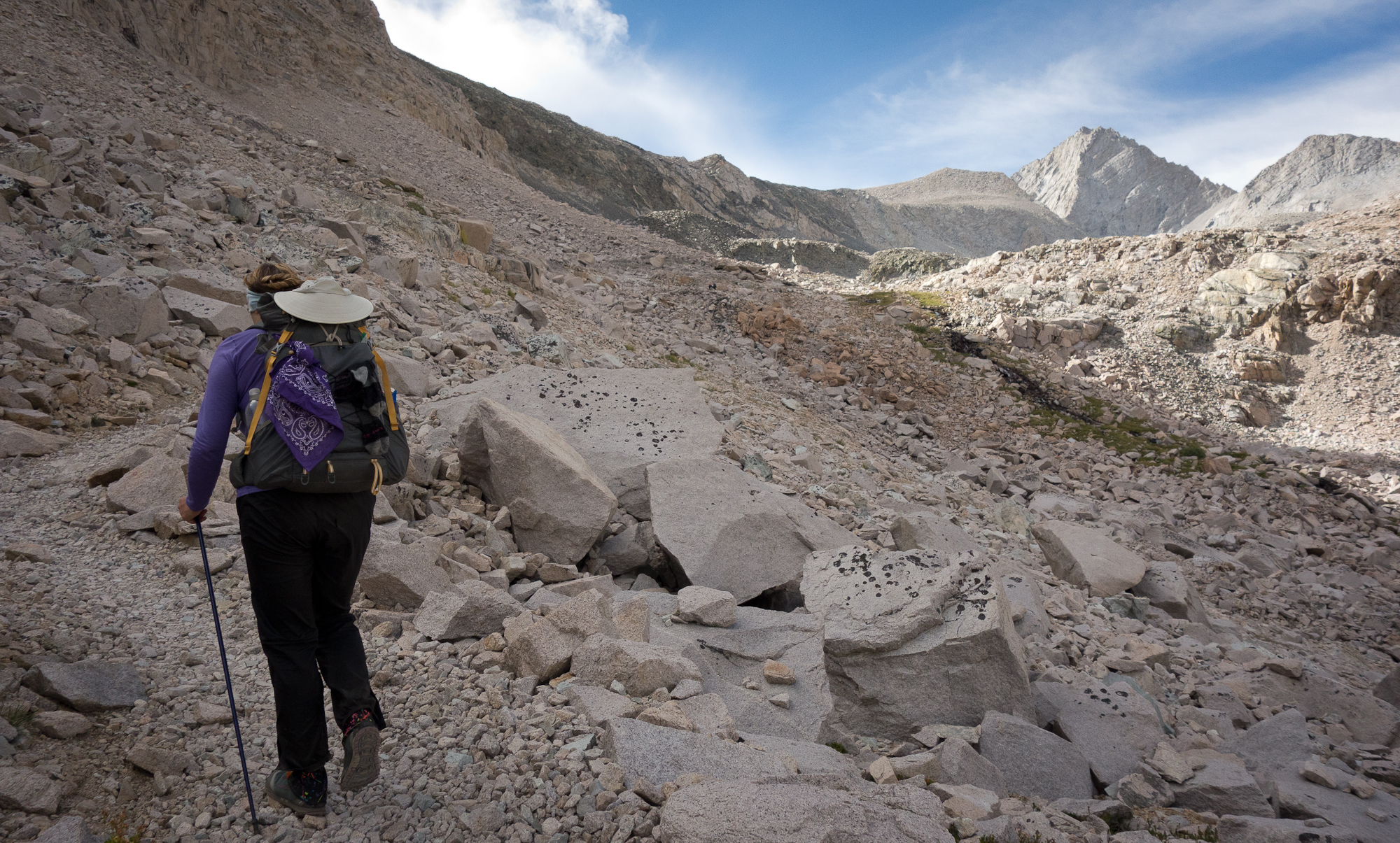
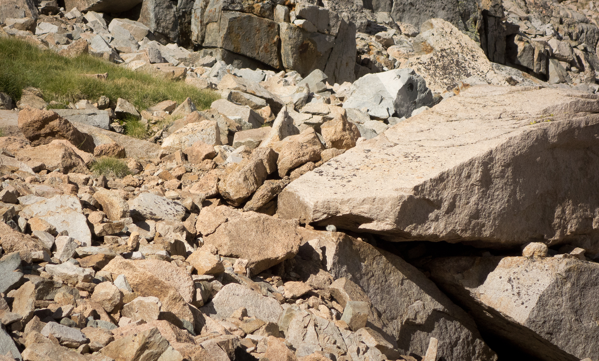
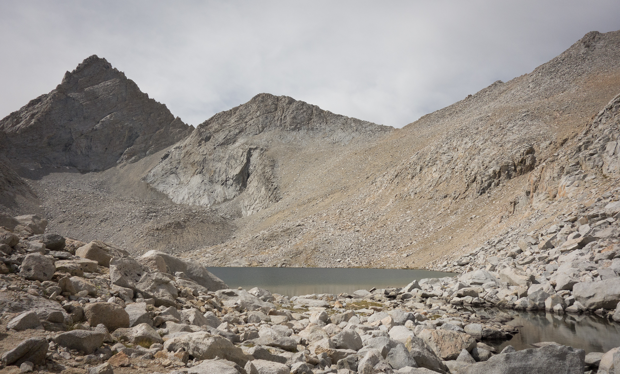
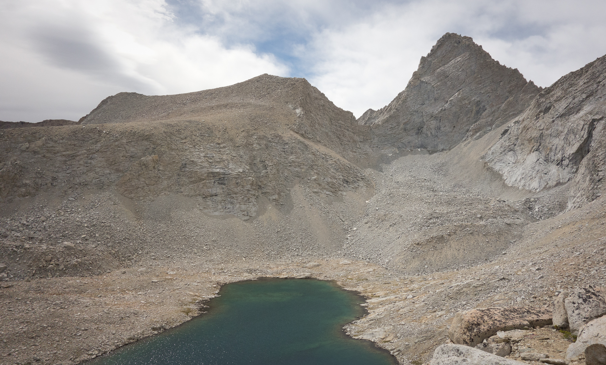
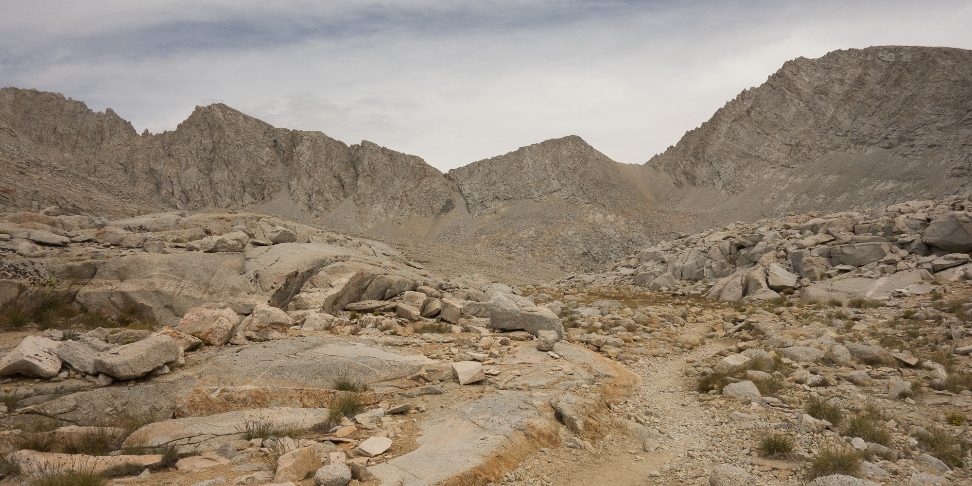
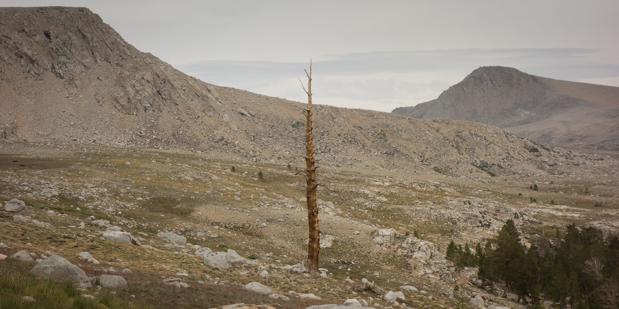
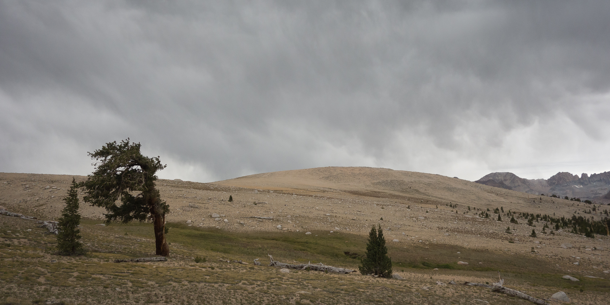
From lunch we crossed over Tyndall Creek we dropped down a bit more before climbing over Big Horn Plateau. We originally thought this looked like a good campsite between Forester Pass and Guitar lake. When we got there we laughed at ourselves. Flat maps tell you so very little about the actual terrain. Big Horn Plateau was exposed, dry, and over run by marmots. Literally the place was teaming with them. We kinda stopped naming the marmots as they were just so plentiful.
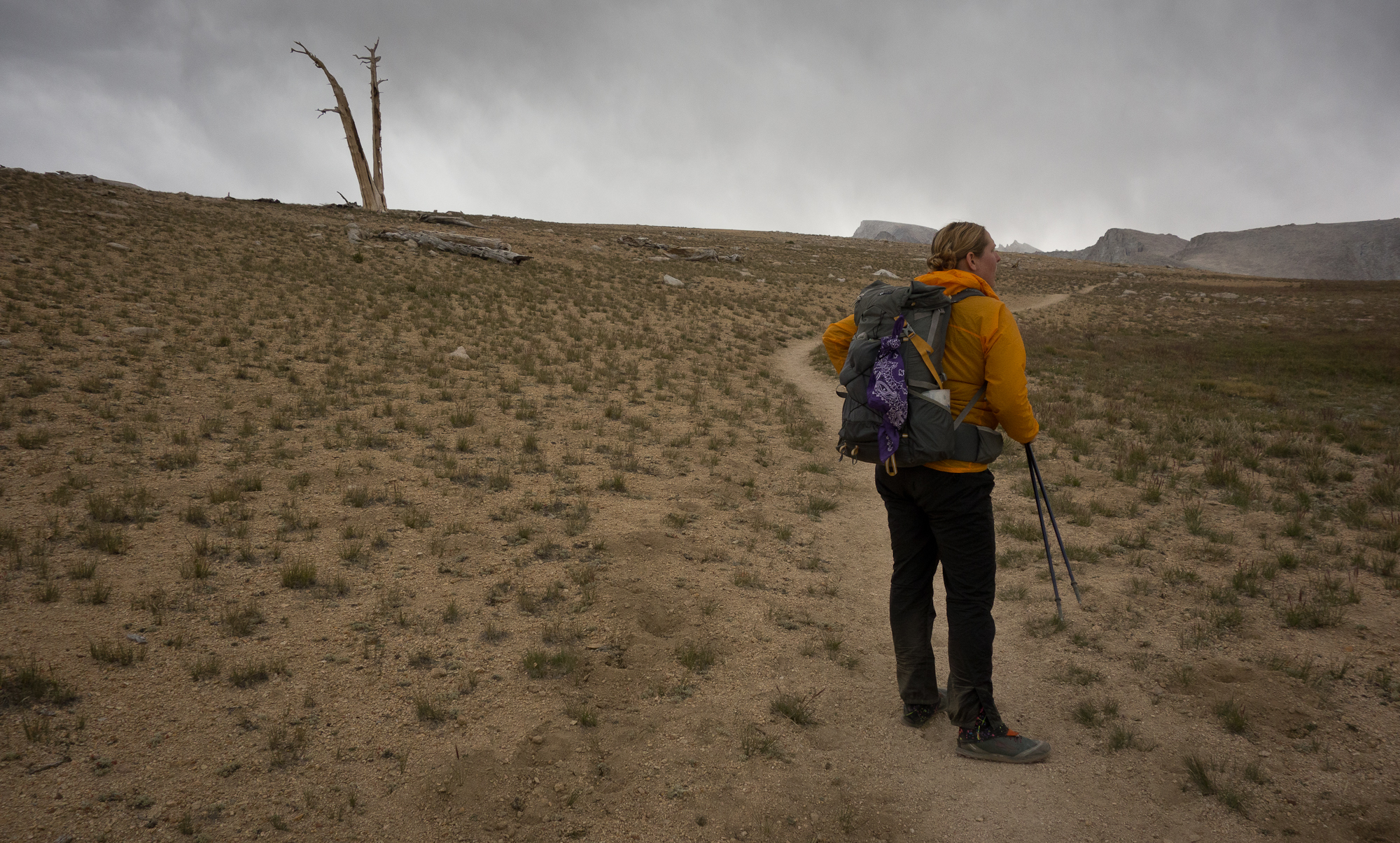
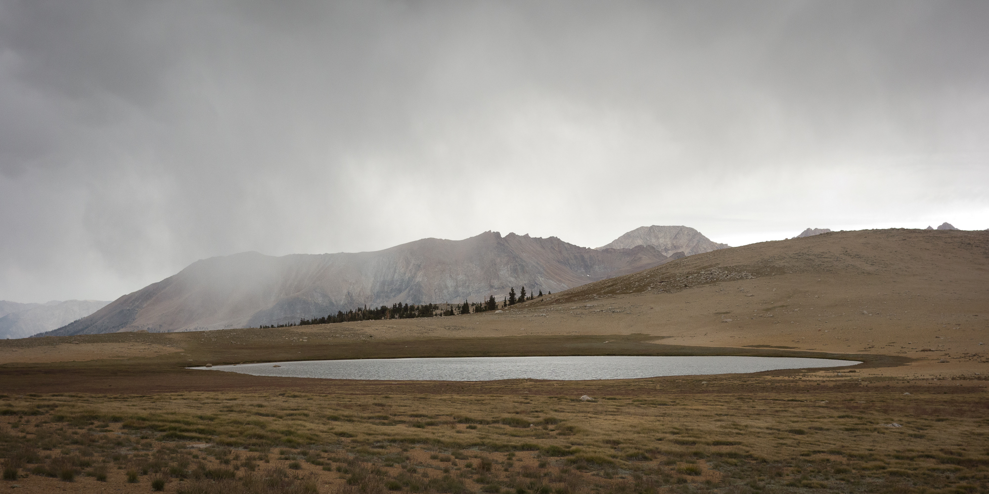
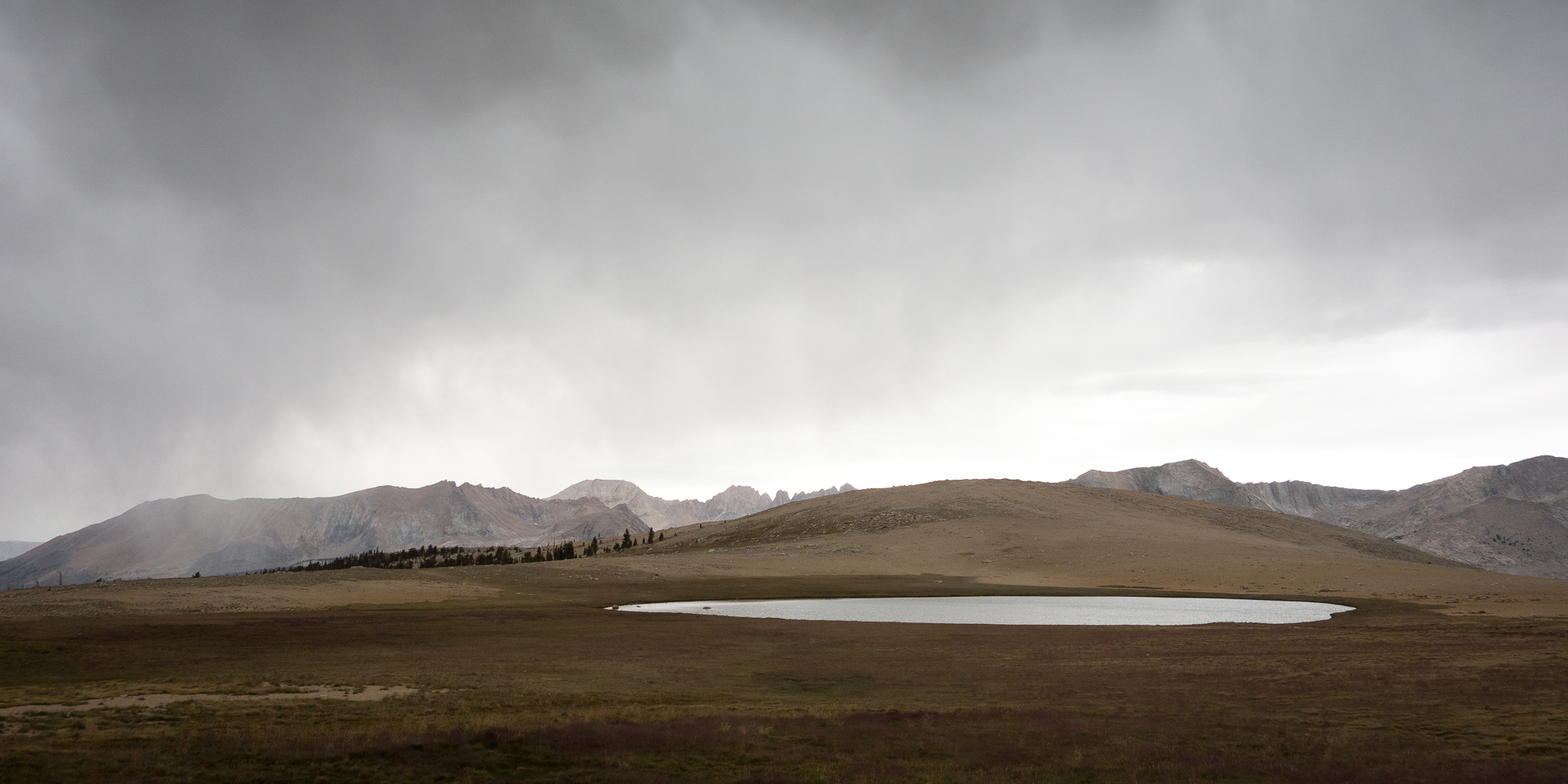
This day seemed to keep stretching on and on. Since we made Forester Pass so early in the day I was anticipating camp the whole rest of day. We were leap frogging with Dick and Manuela most of the day and near the end getting pretty anxious to find camp. We ran out of water after Big Horn Plateau and the marked creeks on our maps were totally dry as we passed them. The group original planned to camp at Wright Creek and we didn’t find them. We knew they had just kept on till they found a flowing creek and sure enough, they were all camped at Wallace Creek. Always such a relief to spot that blue tarp :).
That night we hung out in a circle with our dinners and shared stories. Dylan read a poem from this book he had with him. Steve and Emma were running a bit low on food after a resupply mix up at Woods Creek Bridge. To be more specific their resupply never showed up. With the help of a ranger and the group they managed to scrounge up enough food to make the tail end of the trip. But what a bummer, the resupply to Woods Creek must of cost a pretty penny as it was hiked in on mule train. I gave Emma a couple of my clif bars and a snickers bar. She was so grateful. Kinda amazing what food does out here. As we sat around in the circle Emma and I traded ideas of food we wanted to eat. I stared longly into my bear can trying to conjure a green apple. Just something crisp and cold.
Then Emma and I brainstormed how we could trap a pika with our bear can and a little bit of peanut butter.
Hey, you never know, peanut butter tricks bears all the time.
Tomorrow is a short day to Guitar Lake, about 7 miles. Then a giant 17 mile day with the tallest peak in continental United States.