Day 12 – Muir Pass

8/1/2015 Muir Pass and LeConte Canyon
13.5 miles

We made it over Muir Pass today at 11,955′!  The climb honestly started all the way back at Muir Trail Ranch two days prior. One could even claim it is 18 miles of “up”.

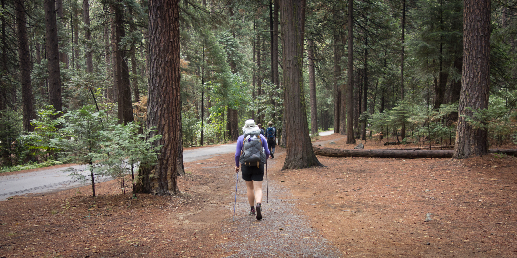
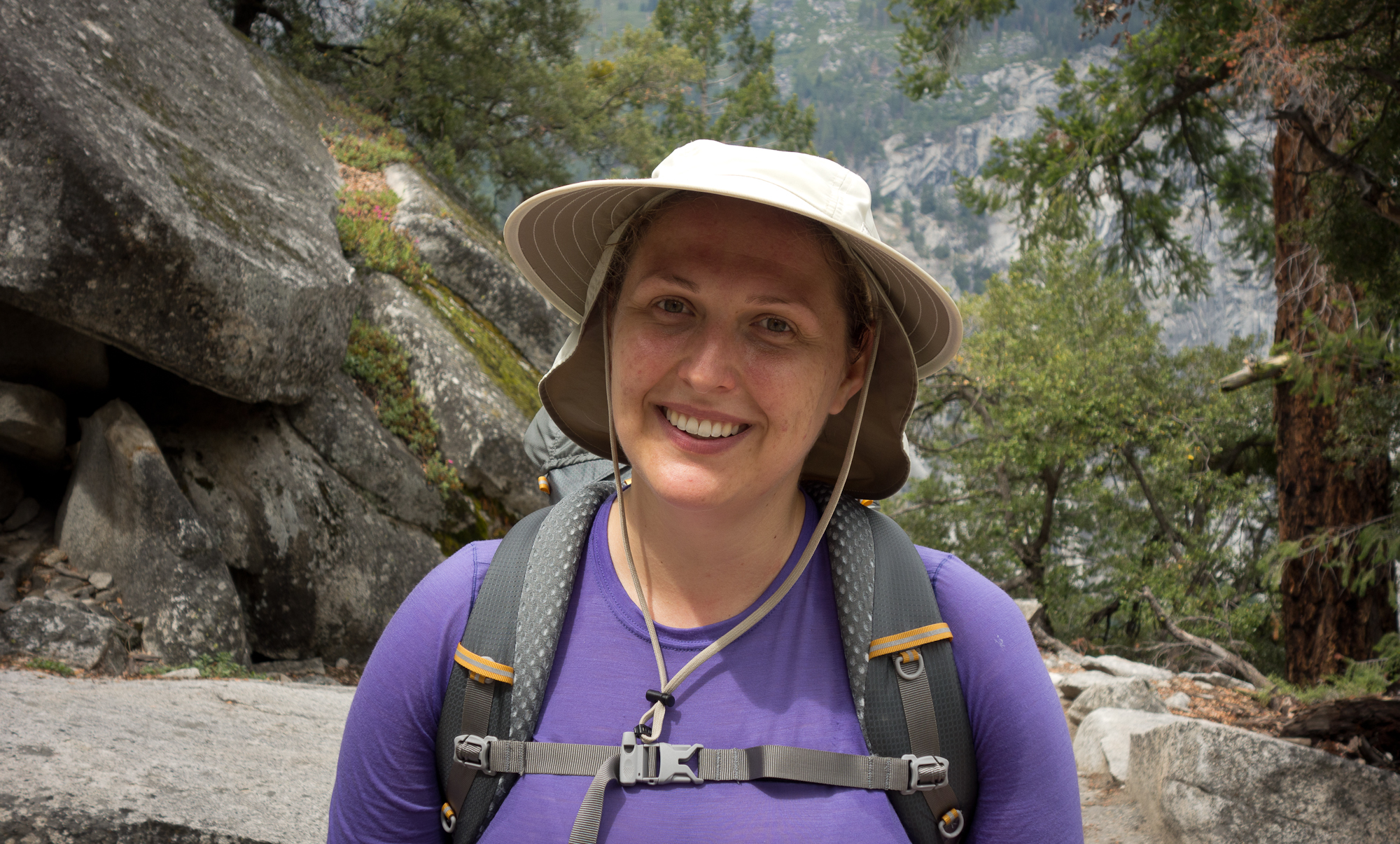
I think we broke camp at 7:17 am, the earliest ever! Yet Steve and Emma were still out on the trail before us. They are so quick! I think they get to camp by 3 or 4 pm while we come rolling in closer to 6. Oh well!

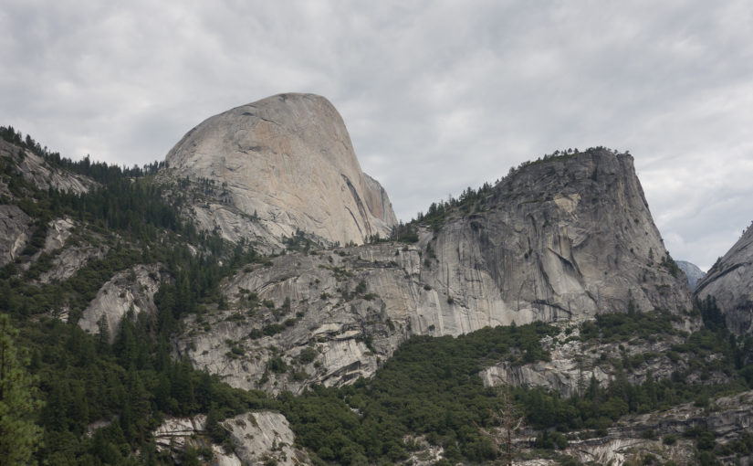
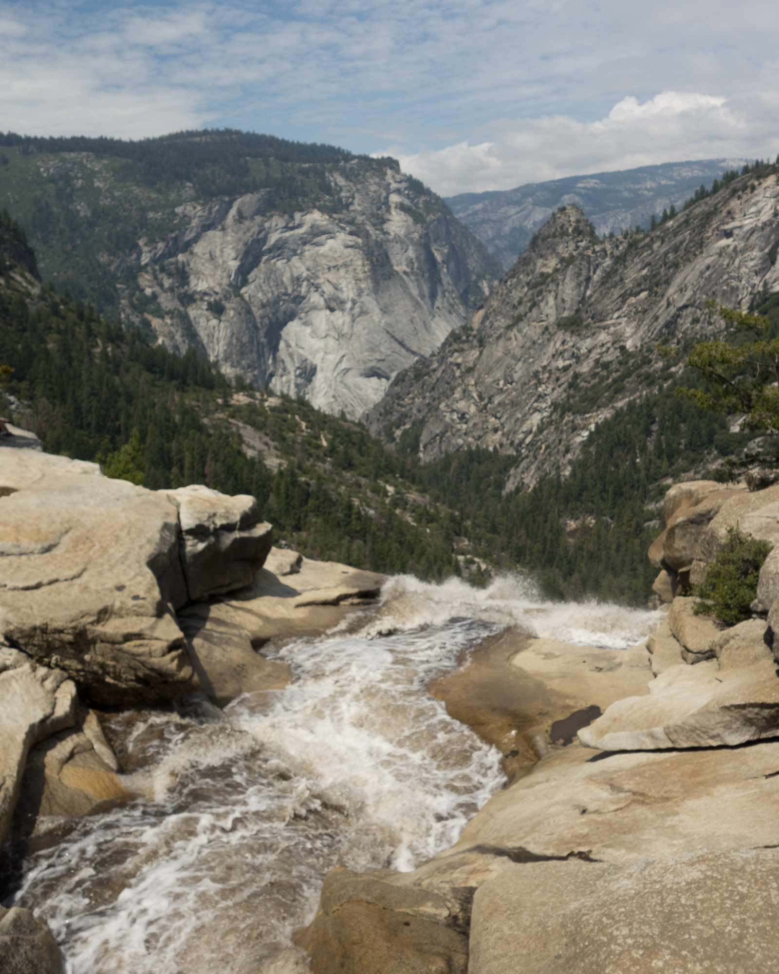
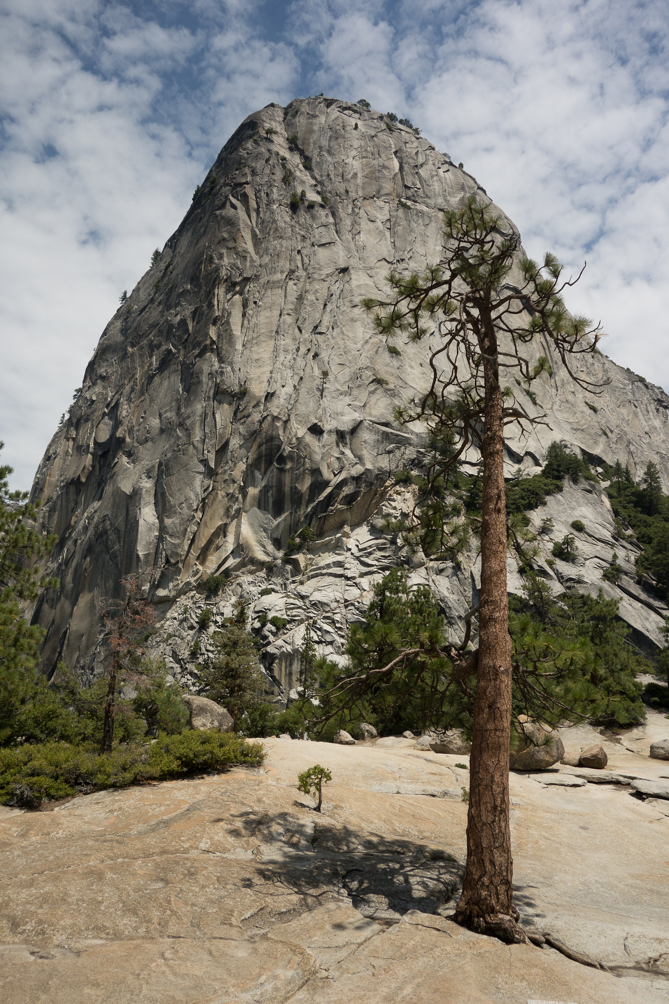
Kings Canyon may be more beautiful than Yosemite. It is certainly more remote and hard to get to than Yosemite. There are no shuttles, ice rinks, lodges with 3 star dining, gift shops to buy fridge magnets . . .

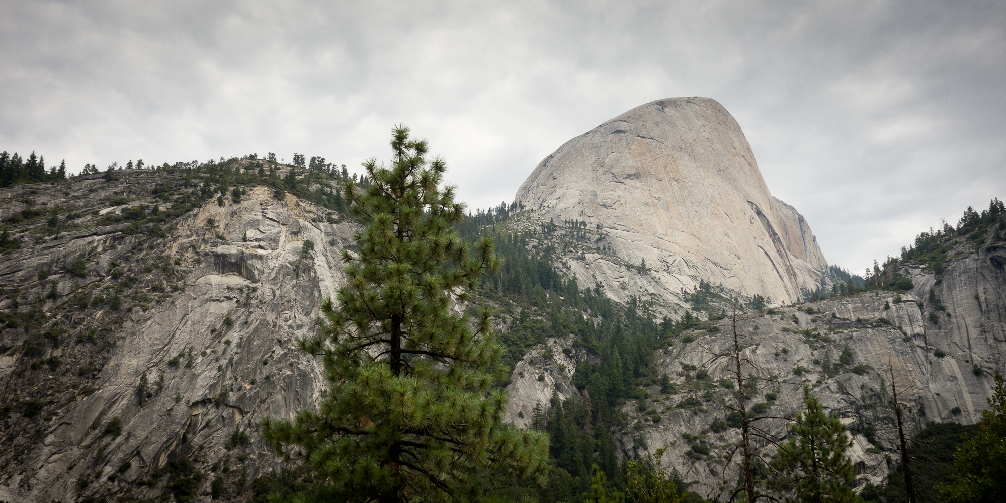
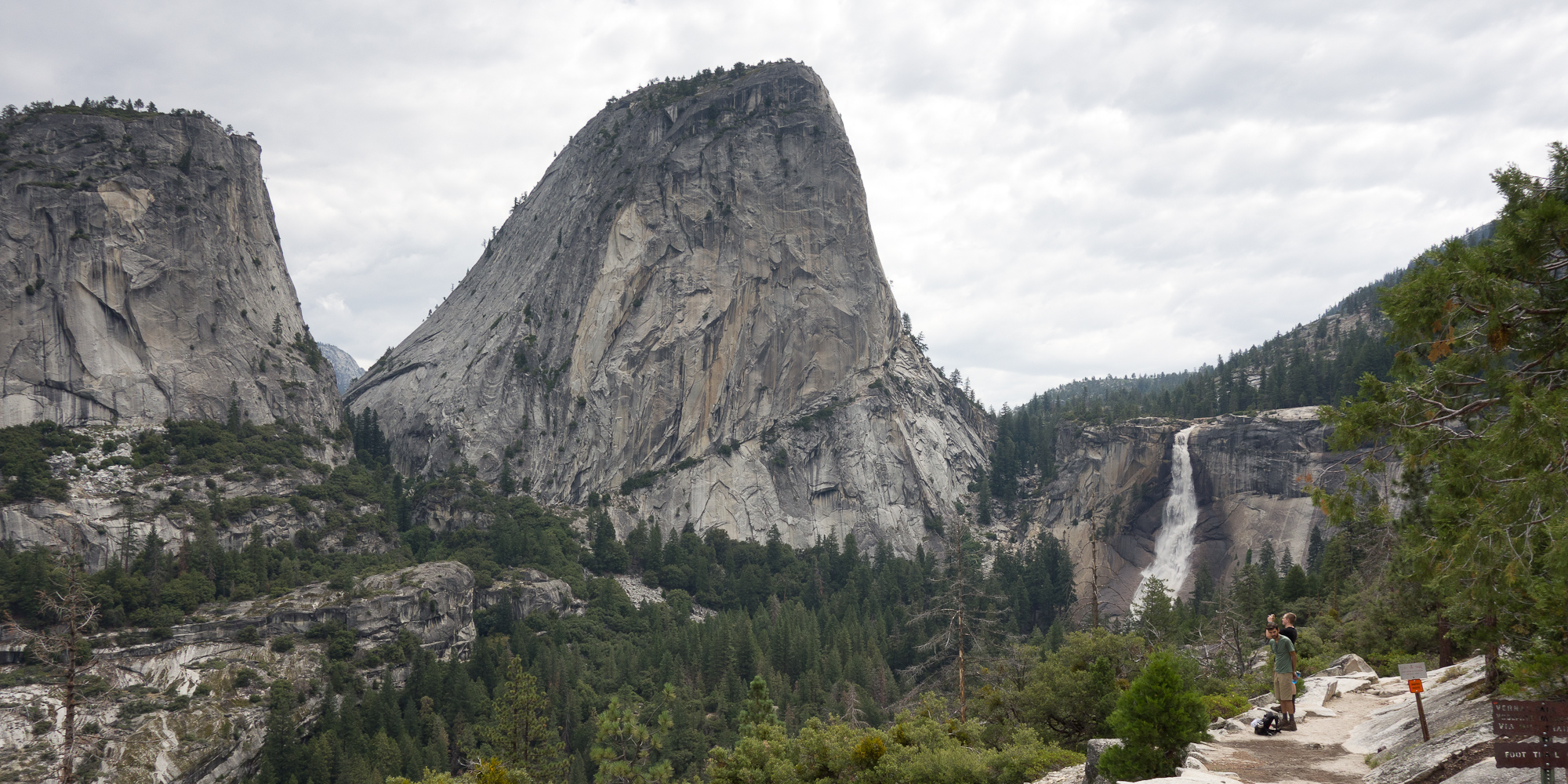
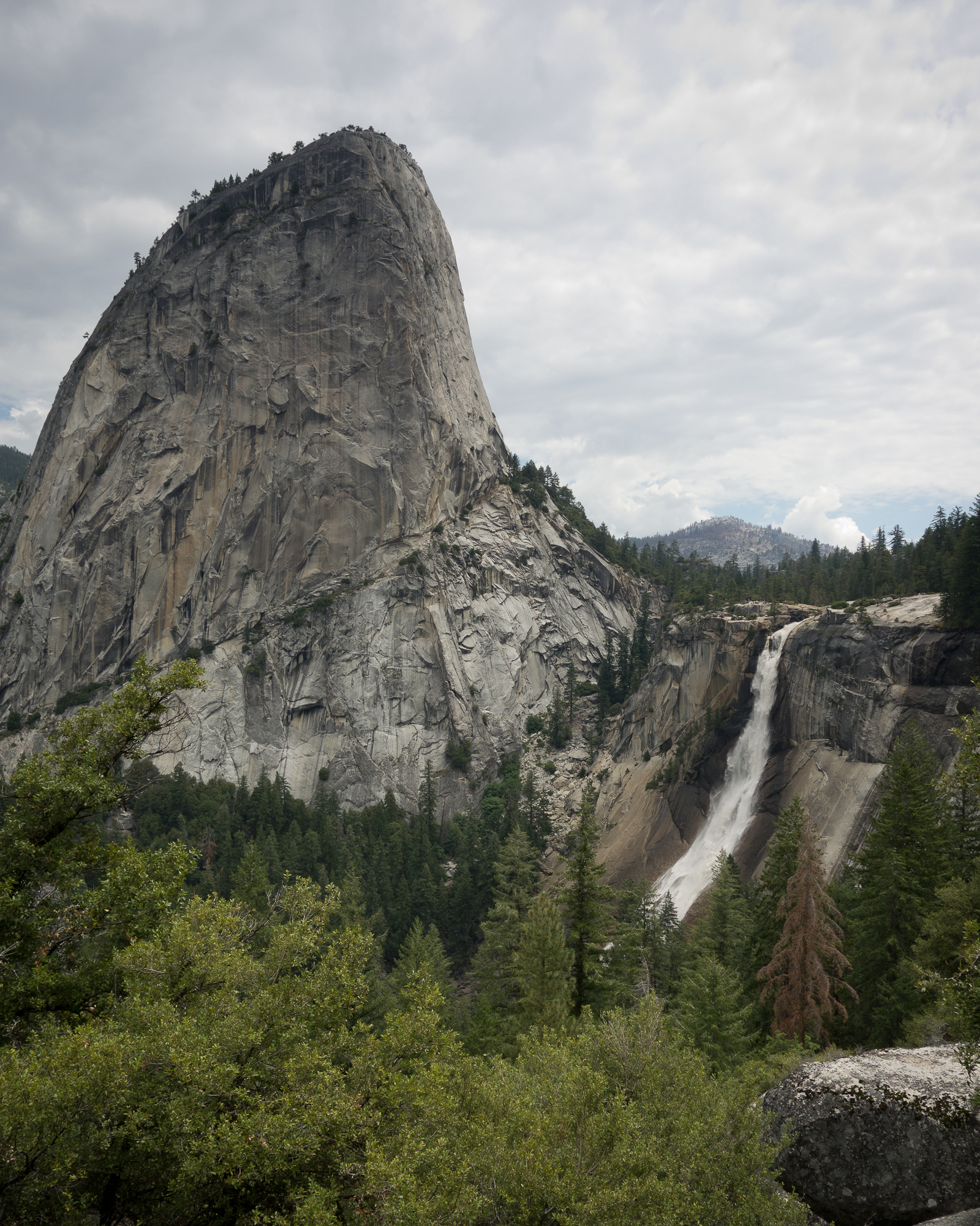
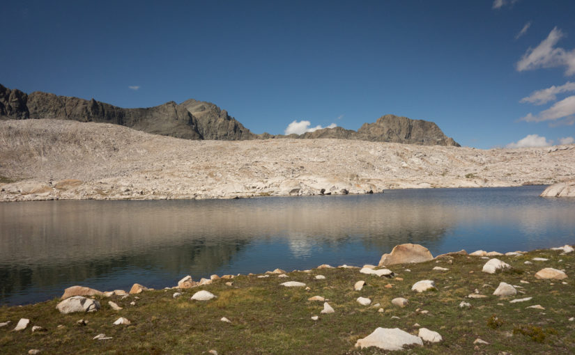
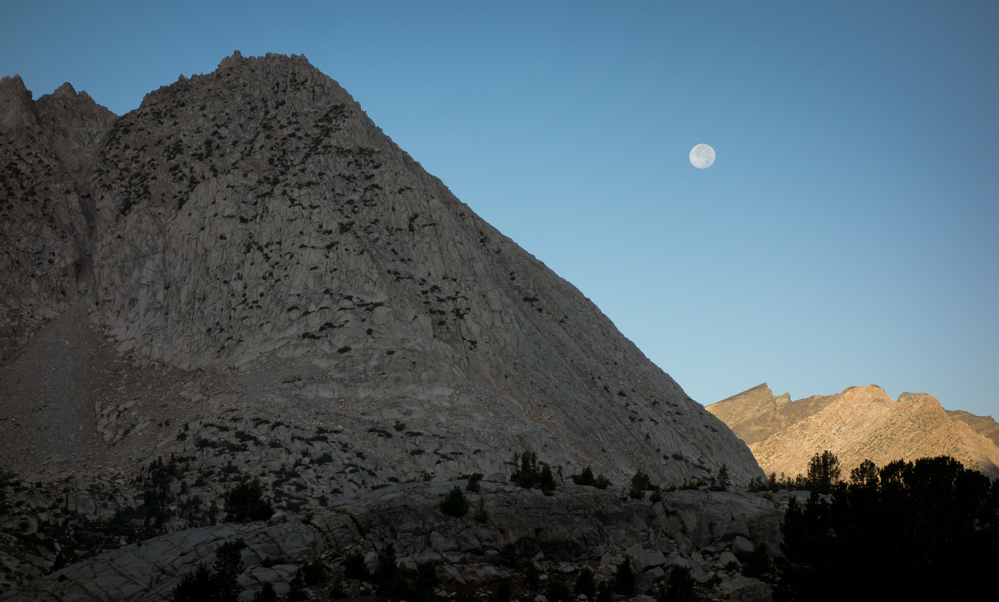
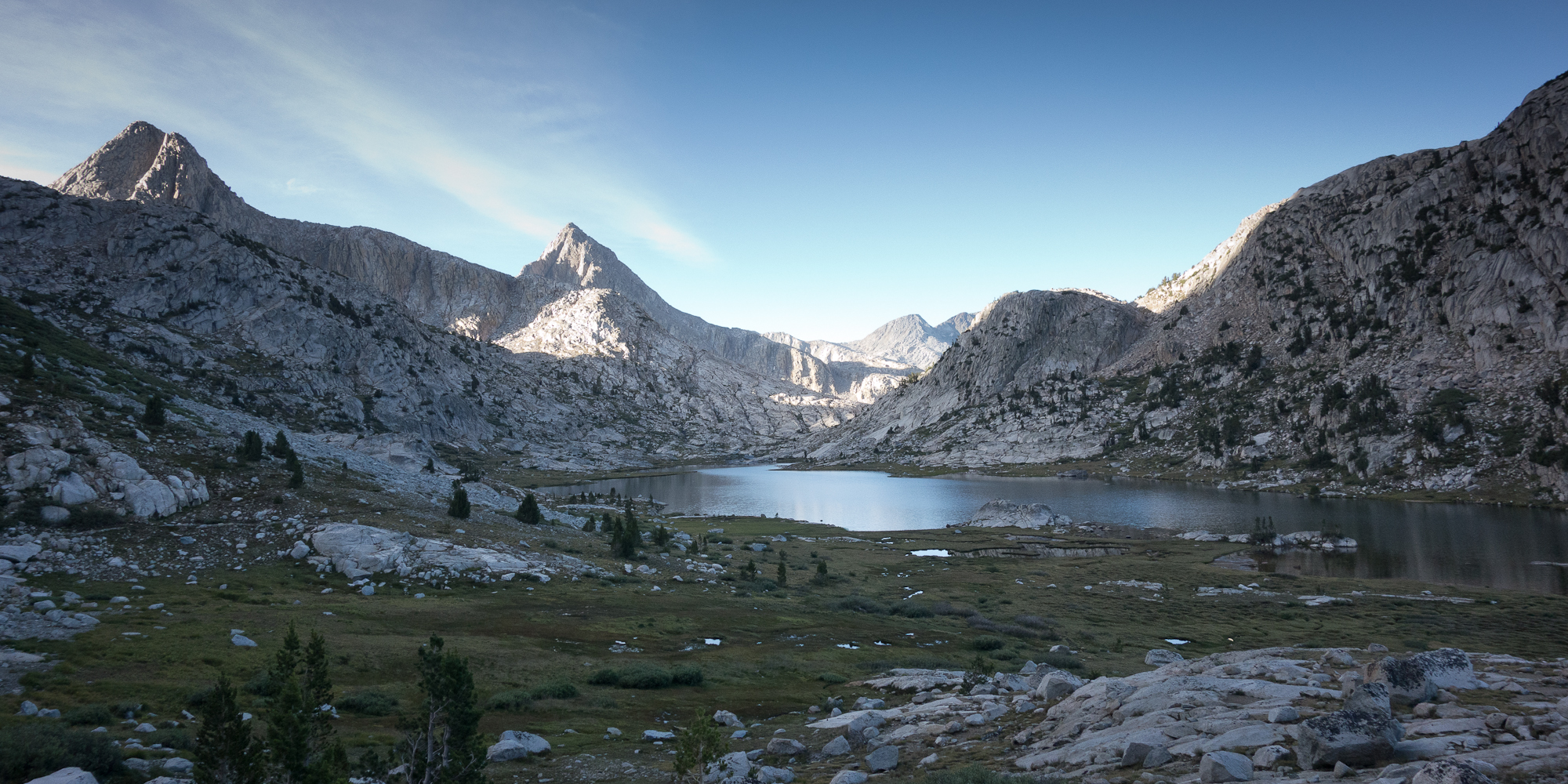
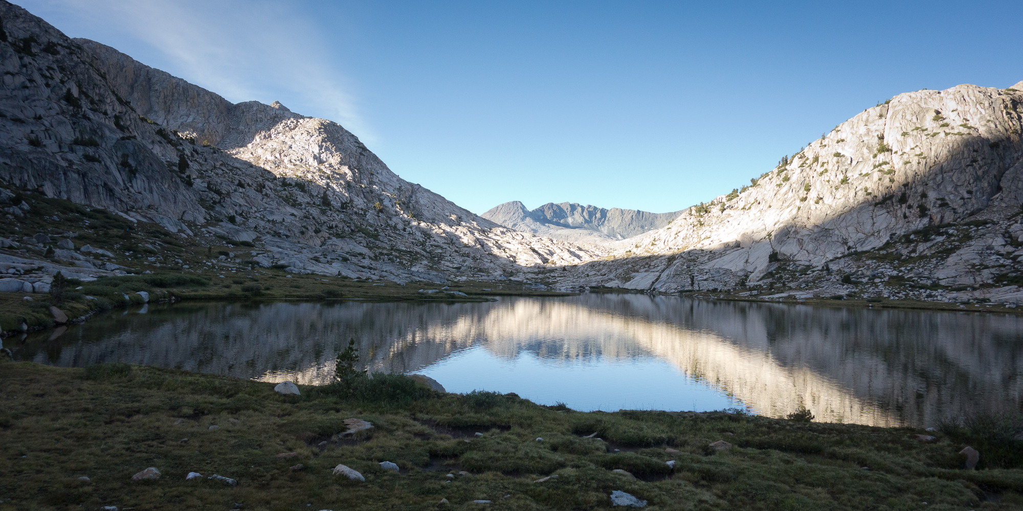
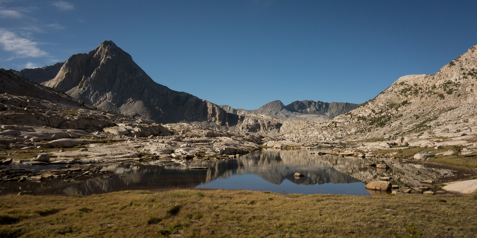
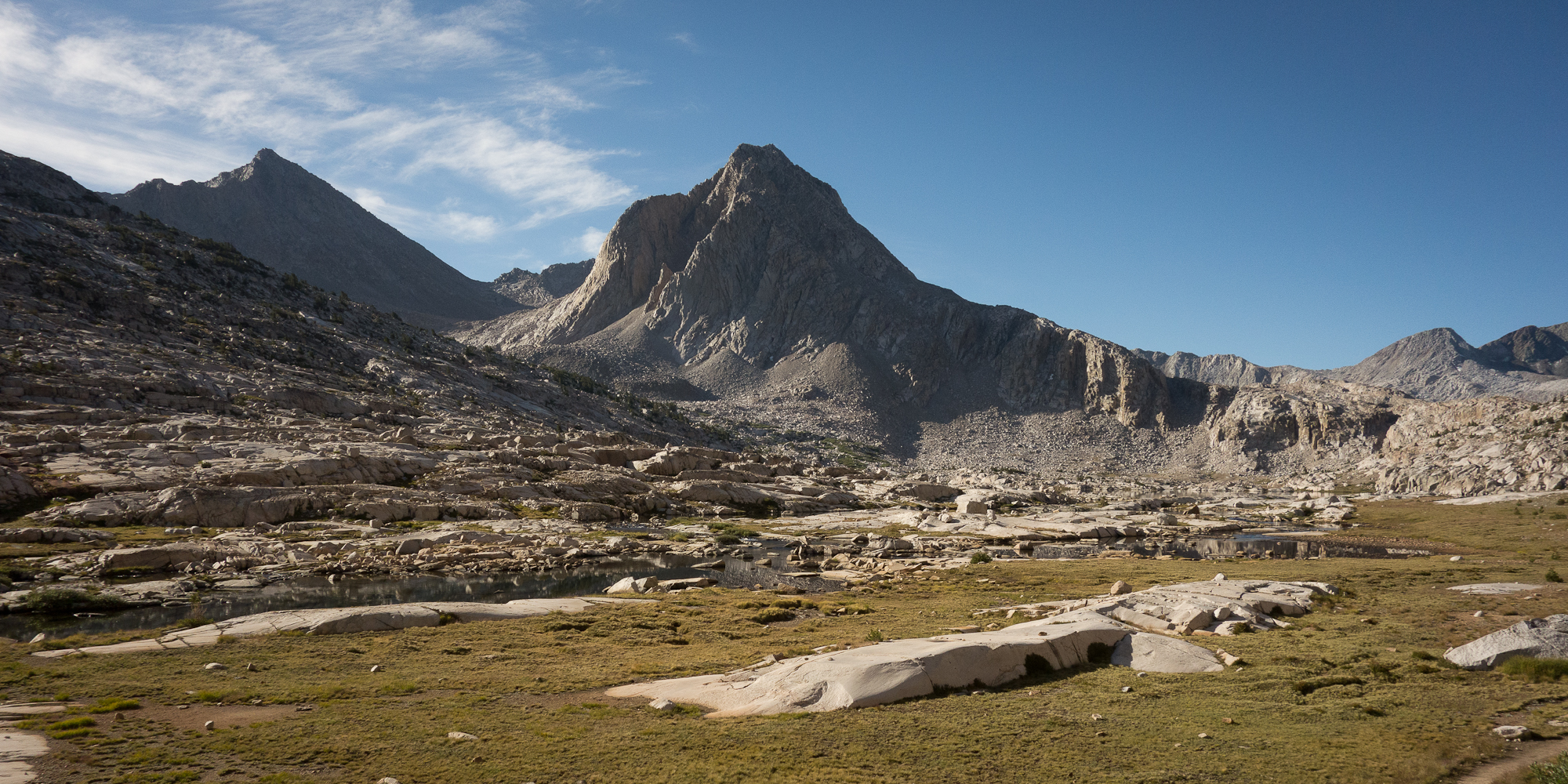
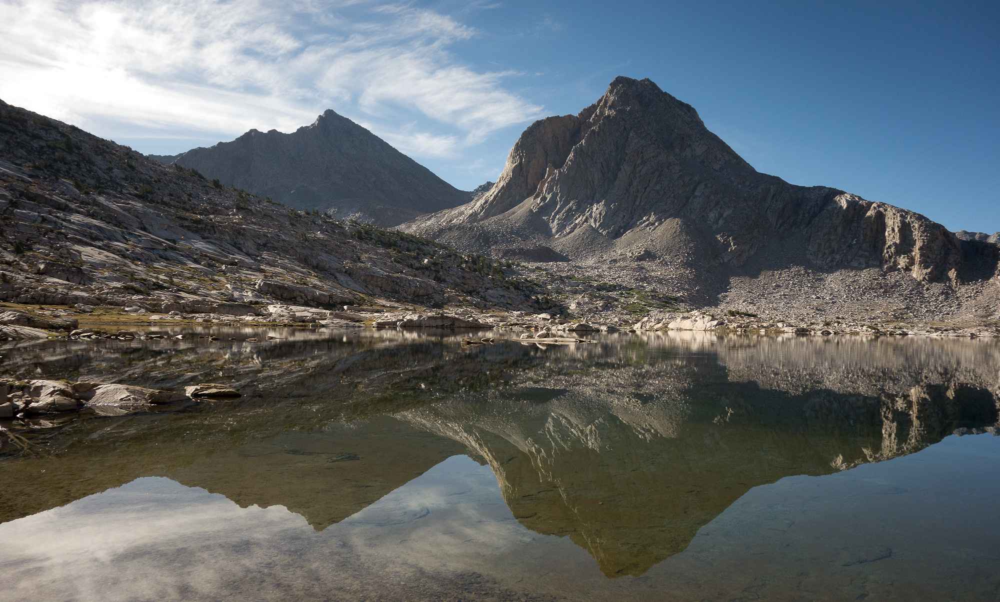
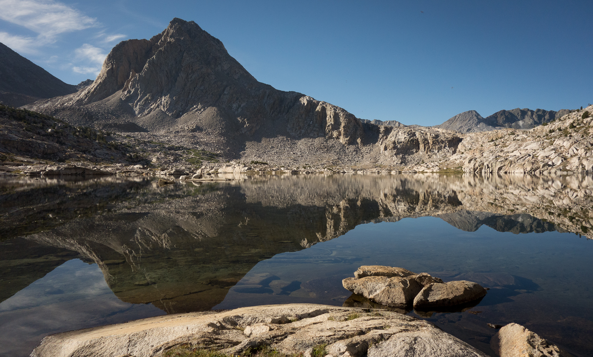
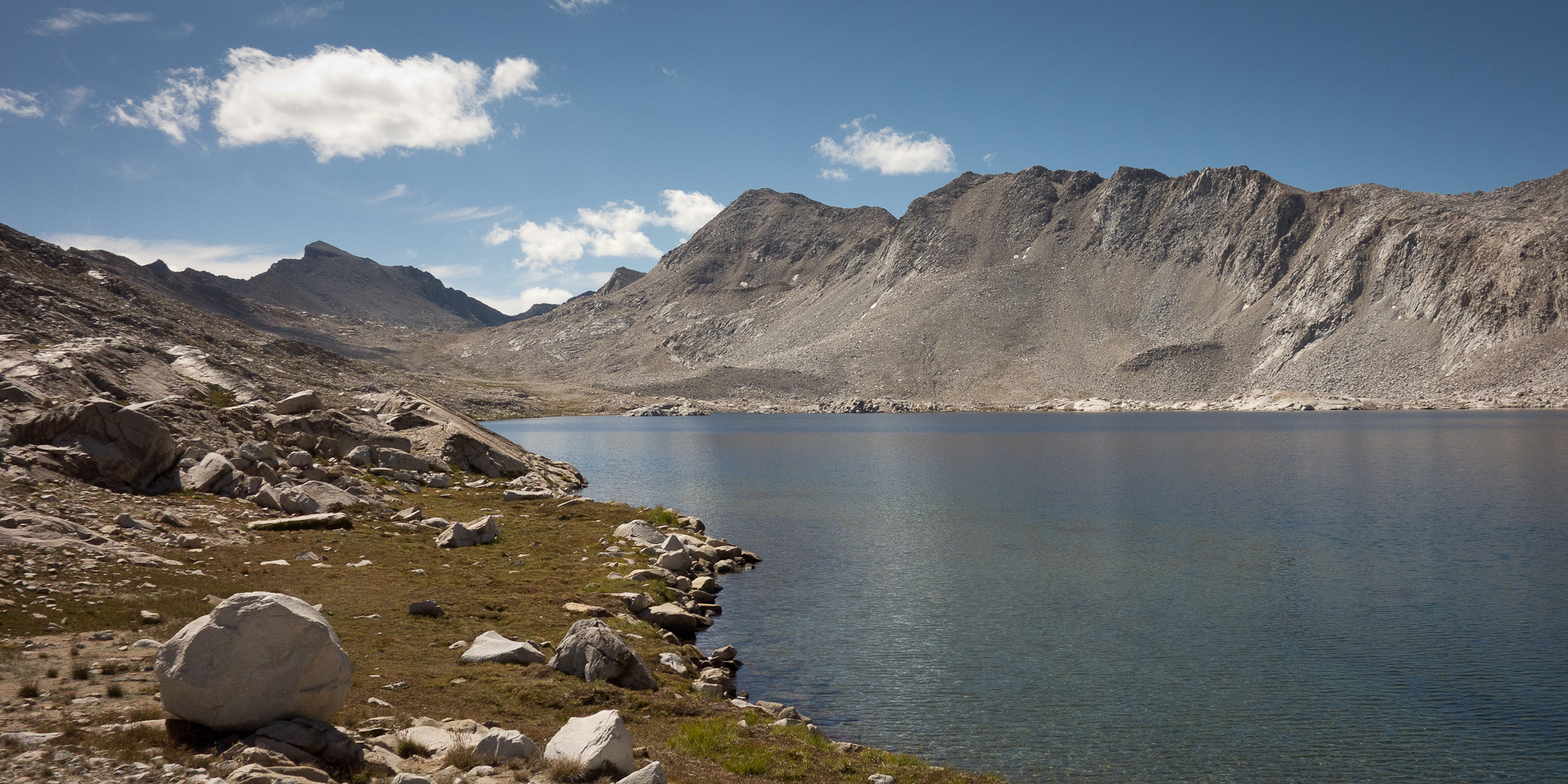
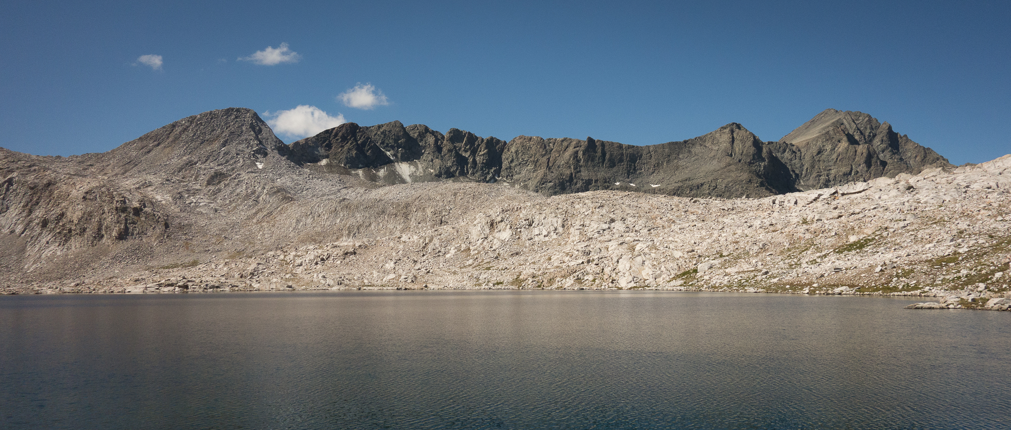
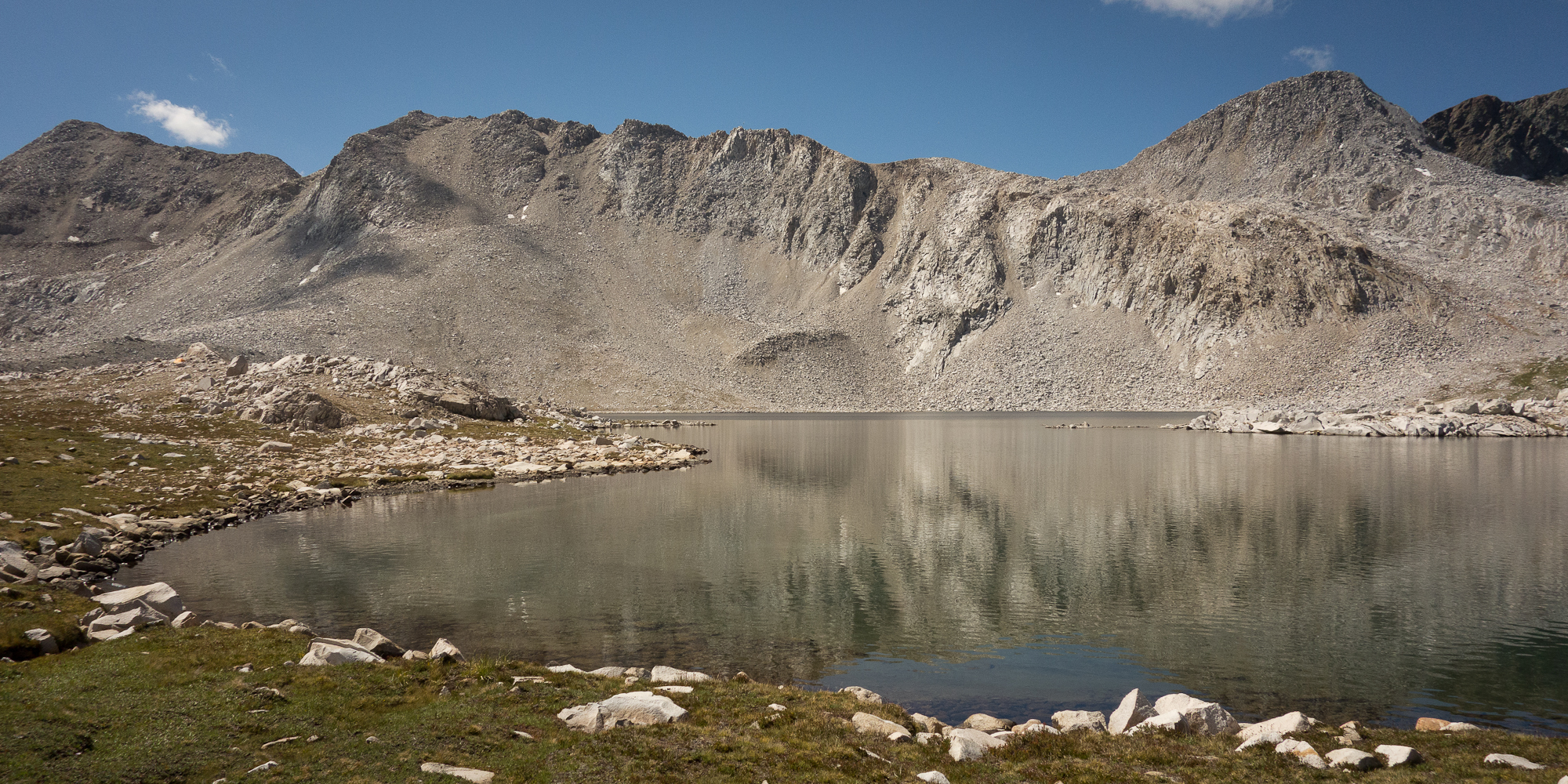
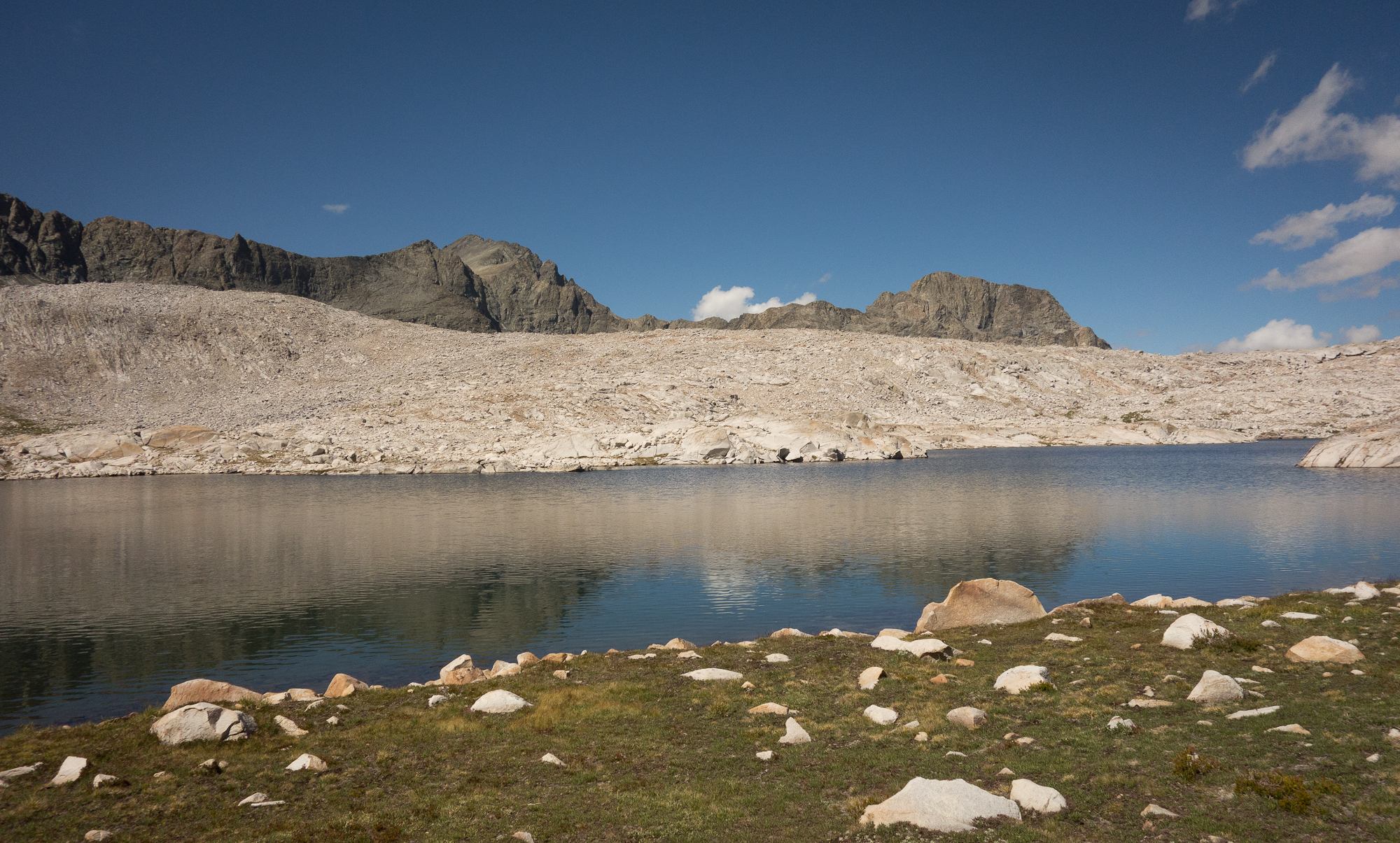
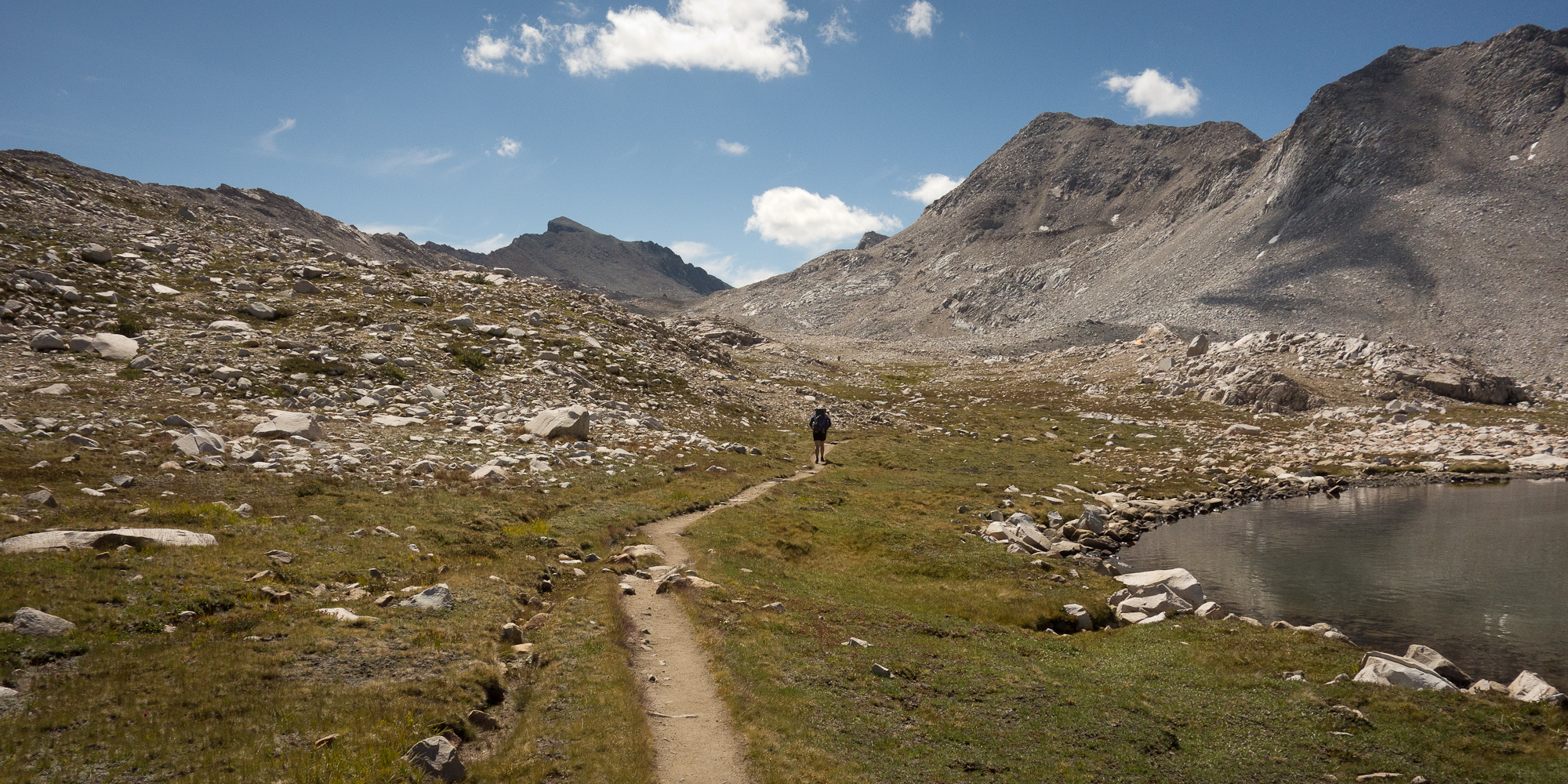
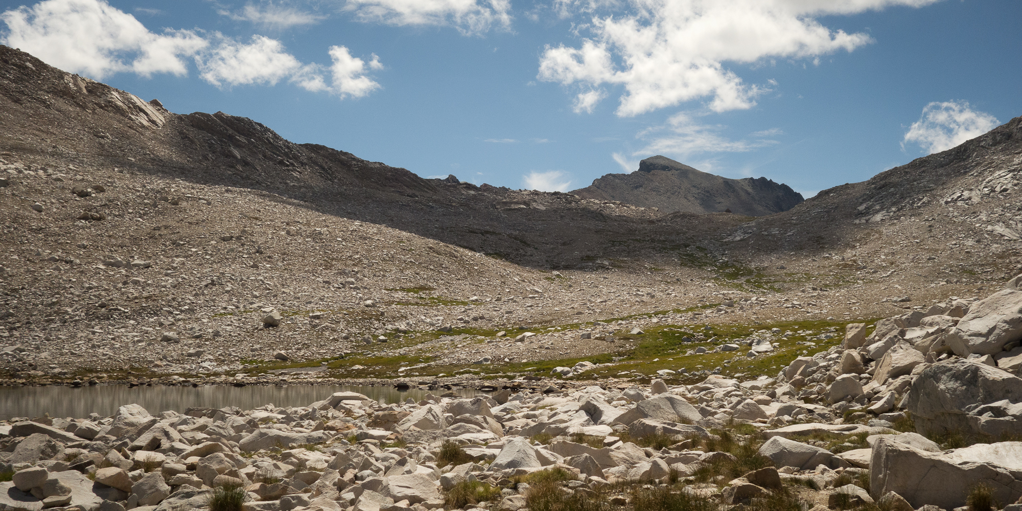
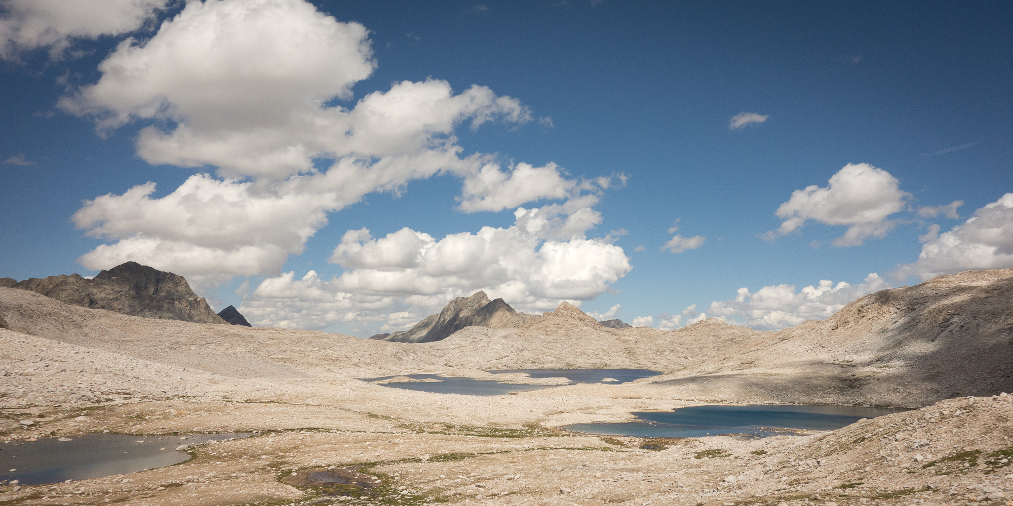
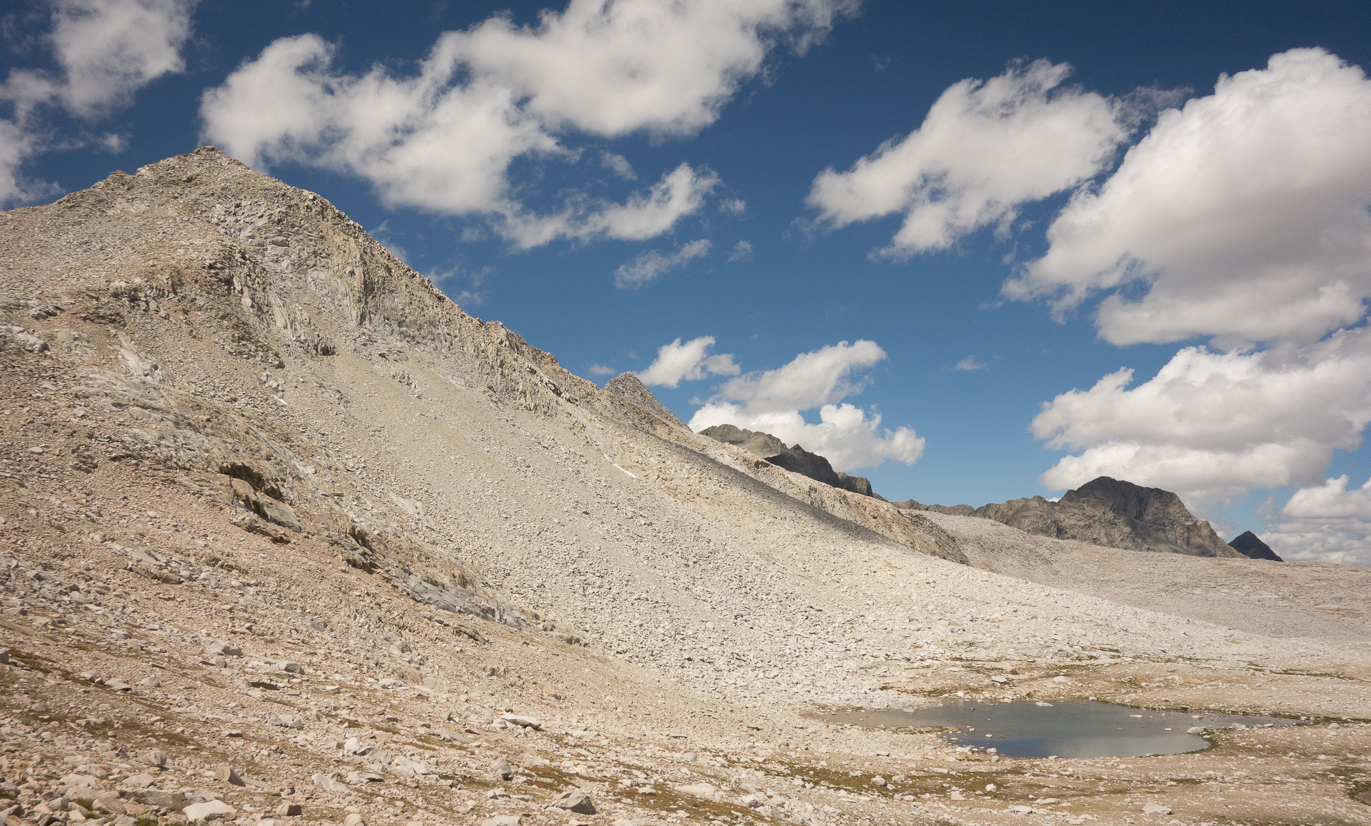
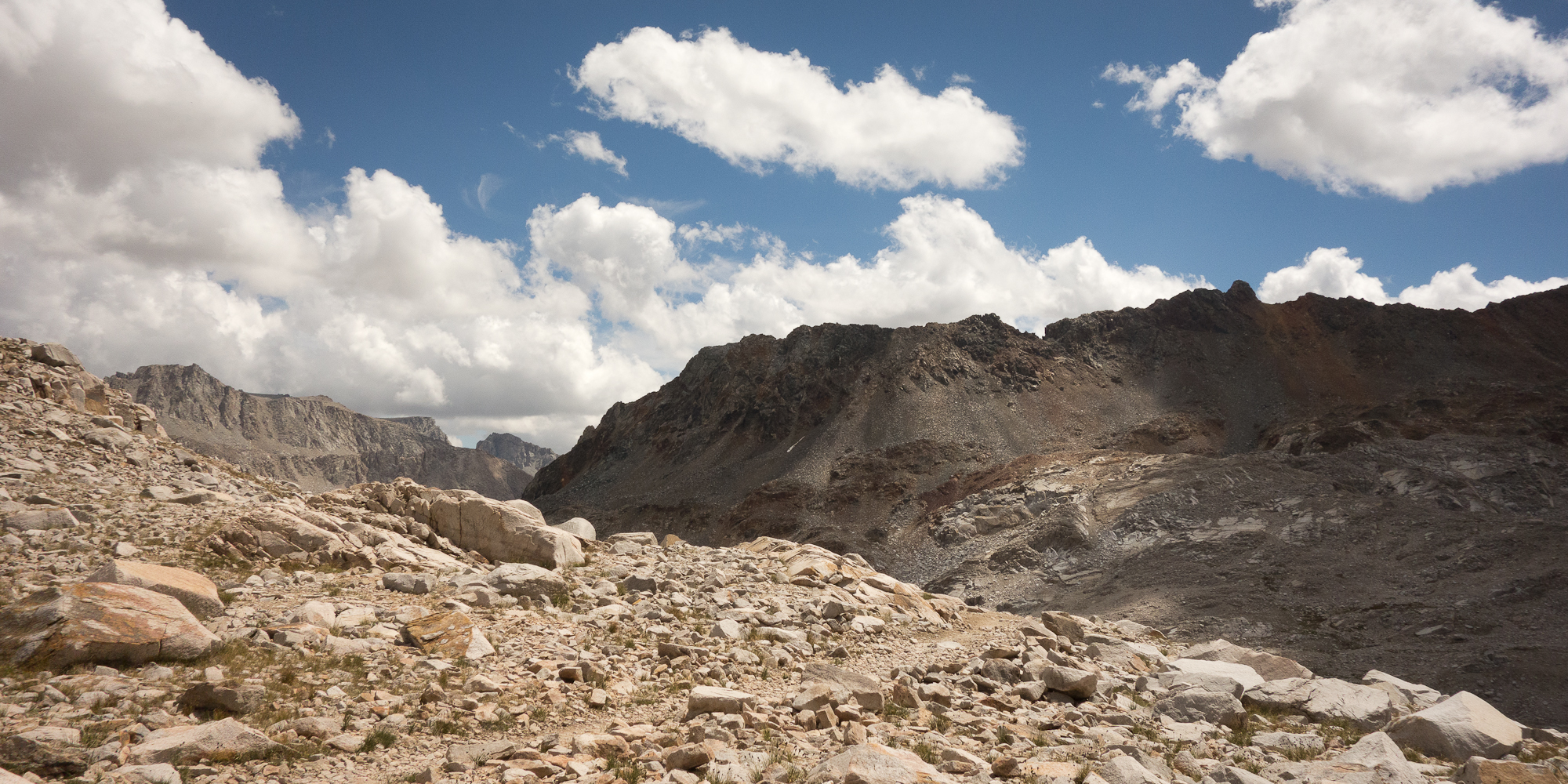
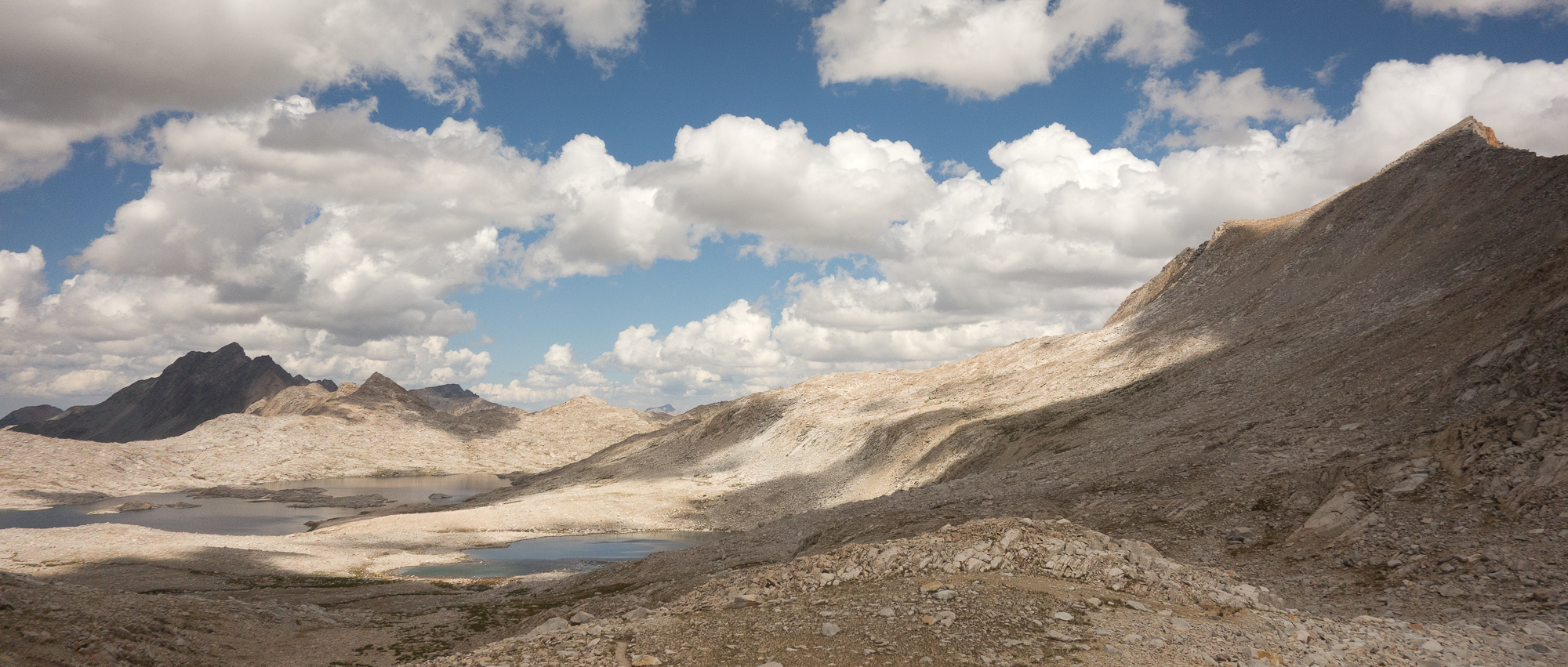
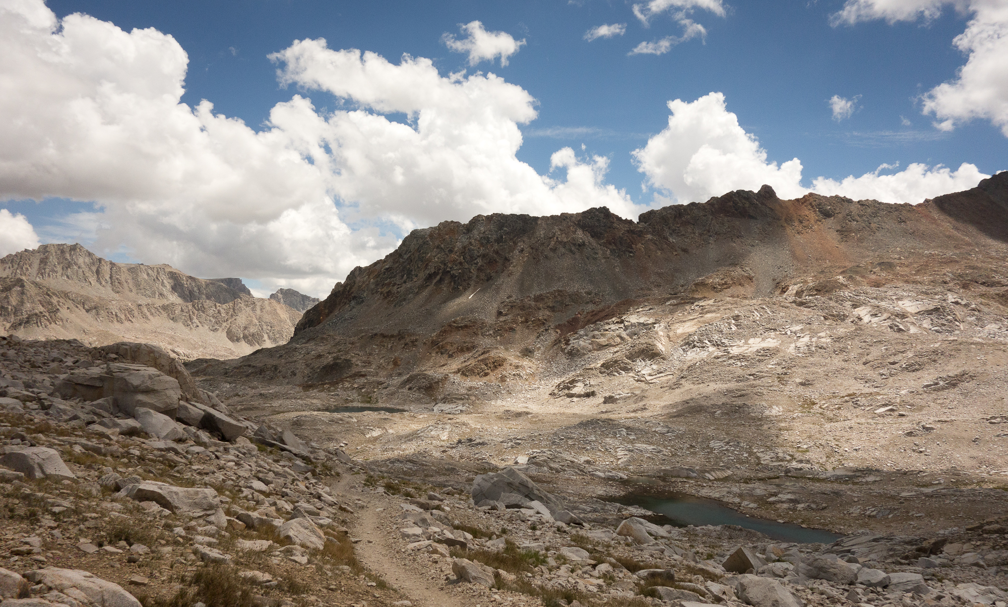
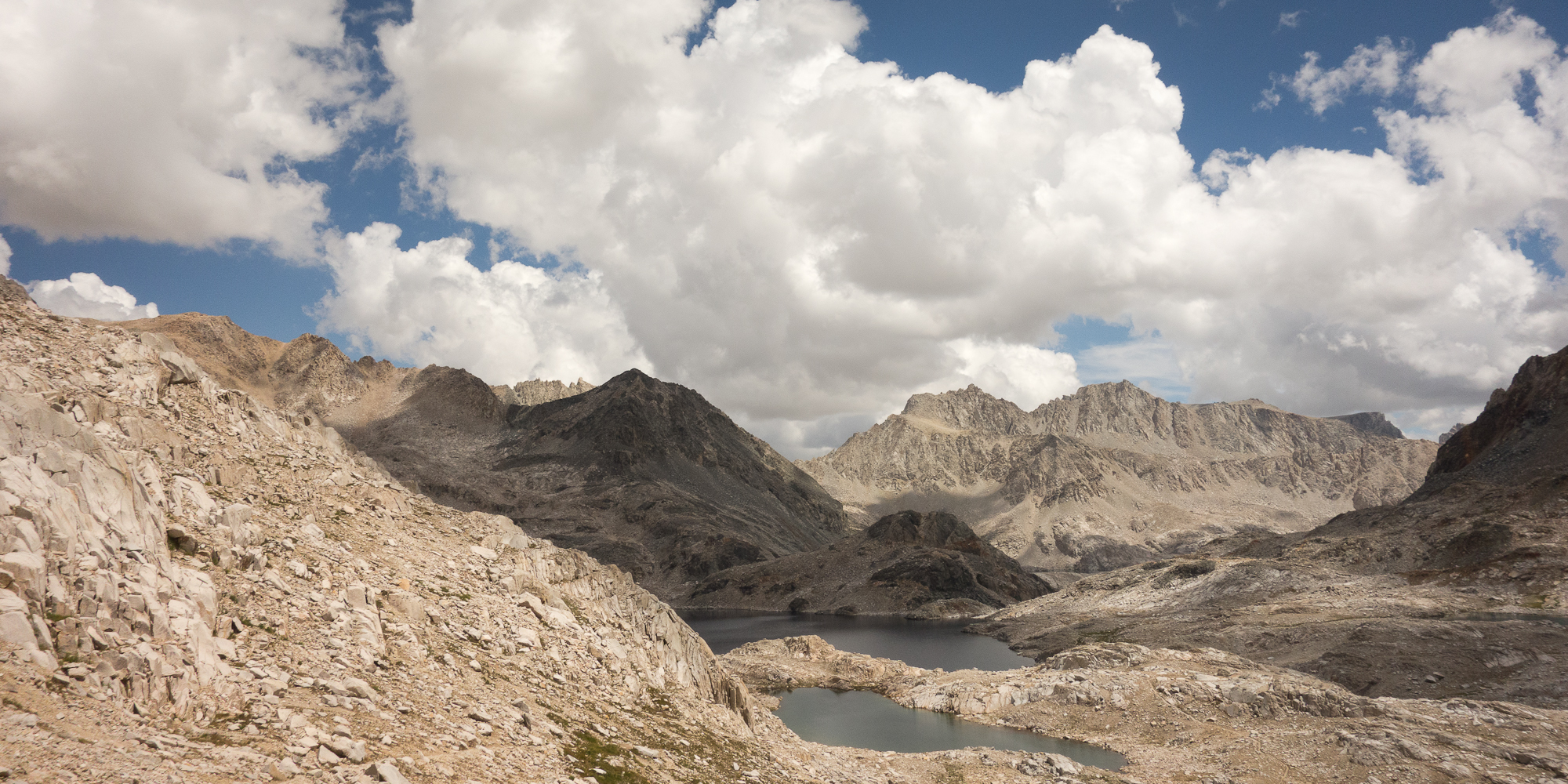
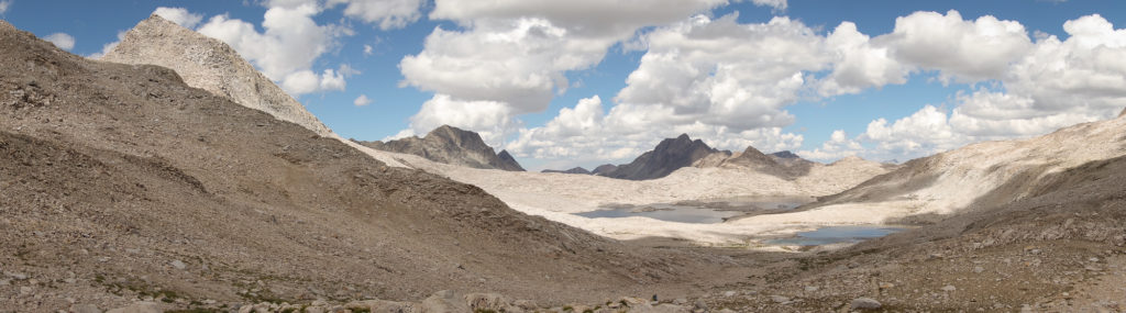
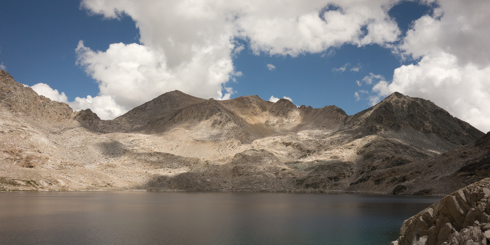
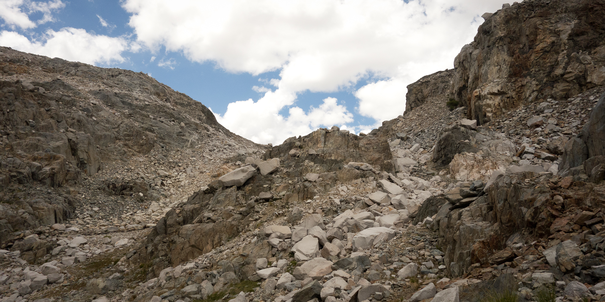
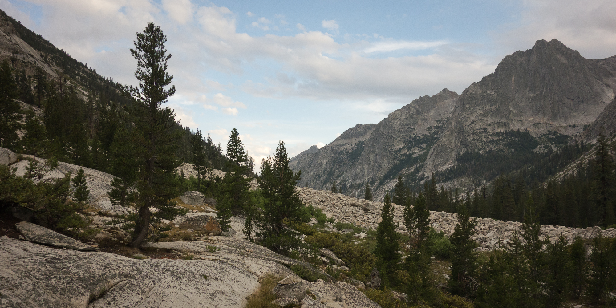
We climbed the last 1,000′ over about 6 miles to Muir pass and passed Sapphire Lake and Wanda lake (named for Muir’s daughter). Both were just jewels of icy blue water in a sea of giant granite cliffs.  Dylan claimed that there was still frozen glaciers at the bottom of the lake. Everyone had told us that the later half of the John Muir Trail was more spectacularly beautiful than the first half.  This is a big statement as the first half of the trail is Yosemite National Park, but they are right.  The second half is filled with 14,000′ peaks, glaciers, alpine lakes and inspiring vistas.  Just check out these pictures of our 6 miles climb up to Muir Pass.

Evolution Lake
Morning Moon in Evolution Lake
Sapphire Lake
Sapphire Lake.
Sapphire Lake
Sapphire Lake
Sapphire Lake
Stepping stones over the lake outlet. Steve and Emma in the lead.
Muir Pass
Muir Pass in the distance
Muir Pass. John Muir Trail.
Muir Pass
Wanda Lake.
Wanda Lake.
Wanda Lake.
Wanda Lake.
Lake Wanda
Wanda Lake.
Lake Wanda
Wanda Lake.
Muir Pass
Happy climbing up Muir Pass
Lake Wanda
Wanda Lake.
Lake Wanda
Wanda Lake.
The long climb up to Muir Pass
Muir Pass
Muir Pass up to the right
Pika
Hi Pika.
Pika
Oh Hi little guy. Pika.
Muir Pass lakes
Looking back on the jewel colored lakes
John Muir Trail
Amazing
Muir Hut
Checking out the trail ahead. Muir Hut.
Muir Hut
Muir Hut. Pretty sure that is Karl in the red.
Muir Pass
The trail headed down and south from Muir Pass
Muir Hut.
Muir Hut. Funded by Sierra Club. Of which we are members.
John Muir Trail
Looking North on the John Muir Trail
Muir Hut
Made it! Muir Hut.
Muir Hut
Tibetan prayer flags. Really?
Muir Pass
Hanging out on Muir Pass. Big clouds forming.
Looking south from Muir Pass
South from Muir Pass.
Looking south. Notice all the clouds puffing up?
John Muir Trail
So Good!

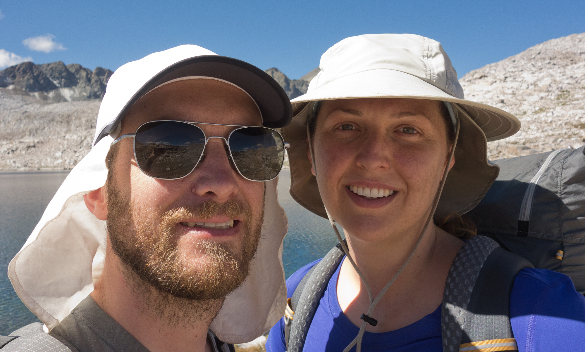
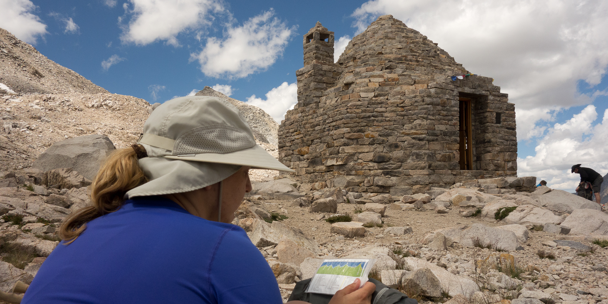
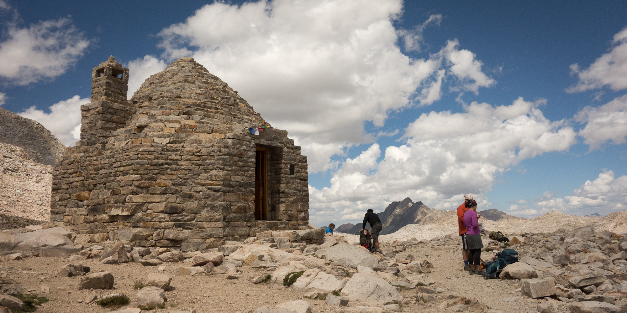
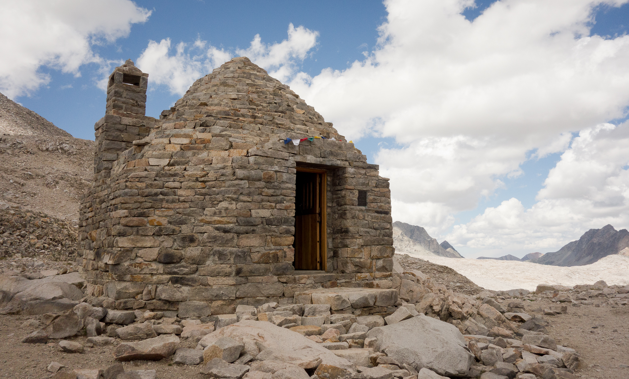
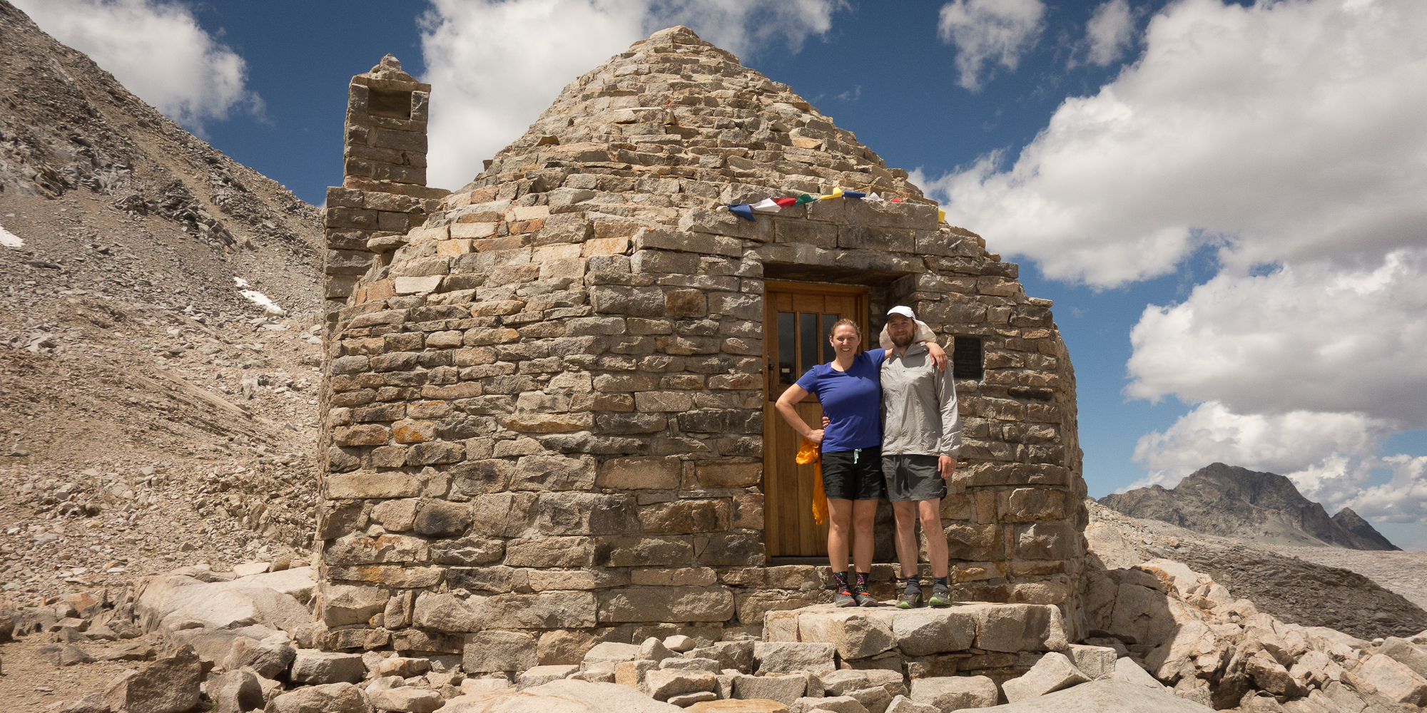
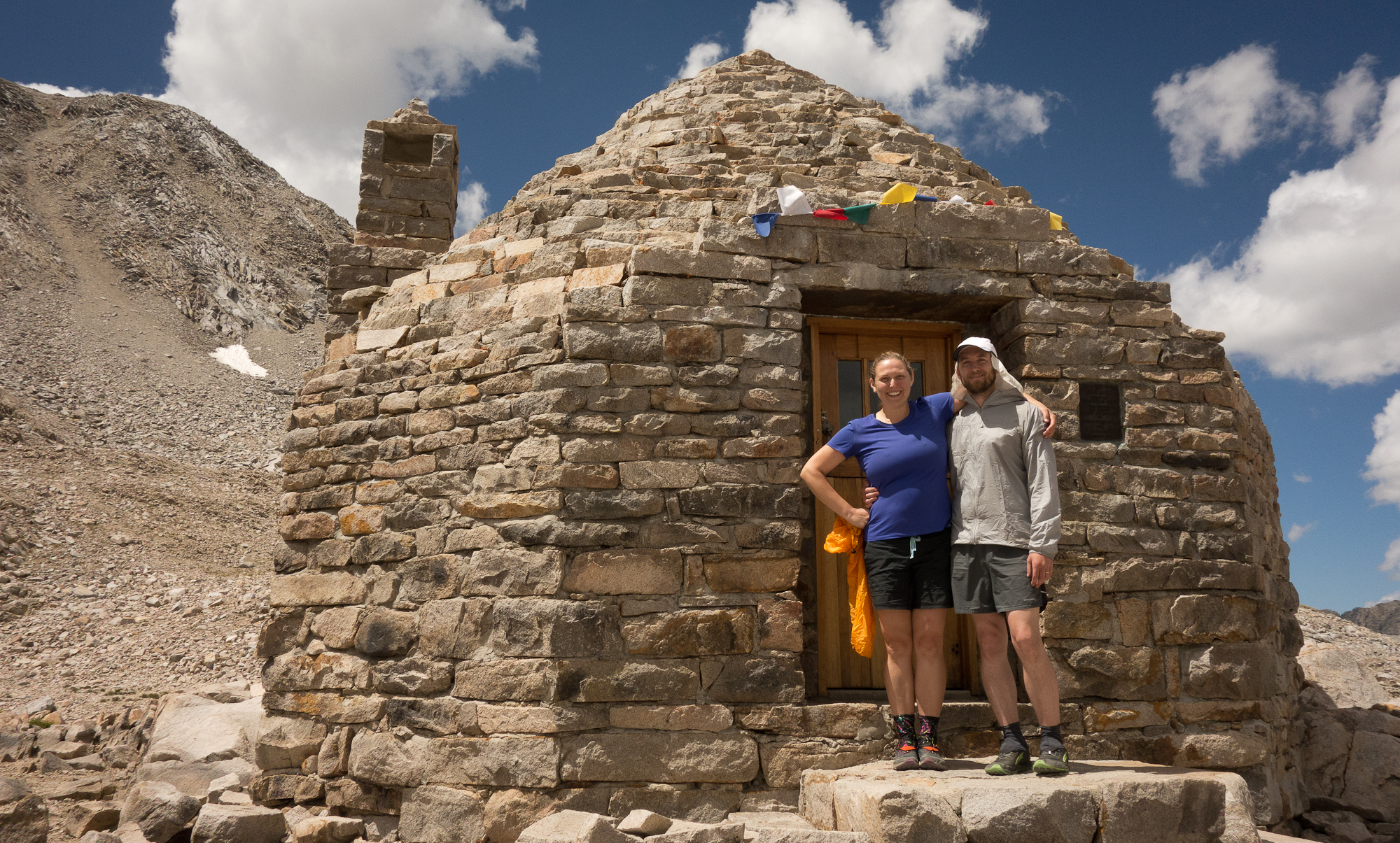
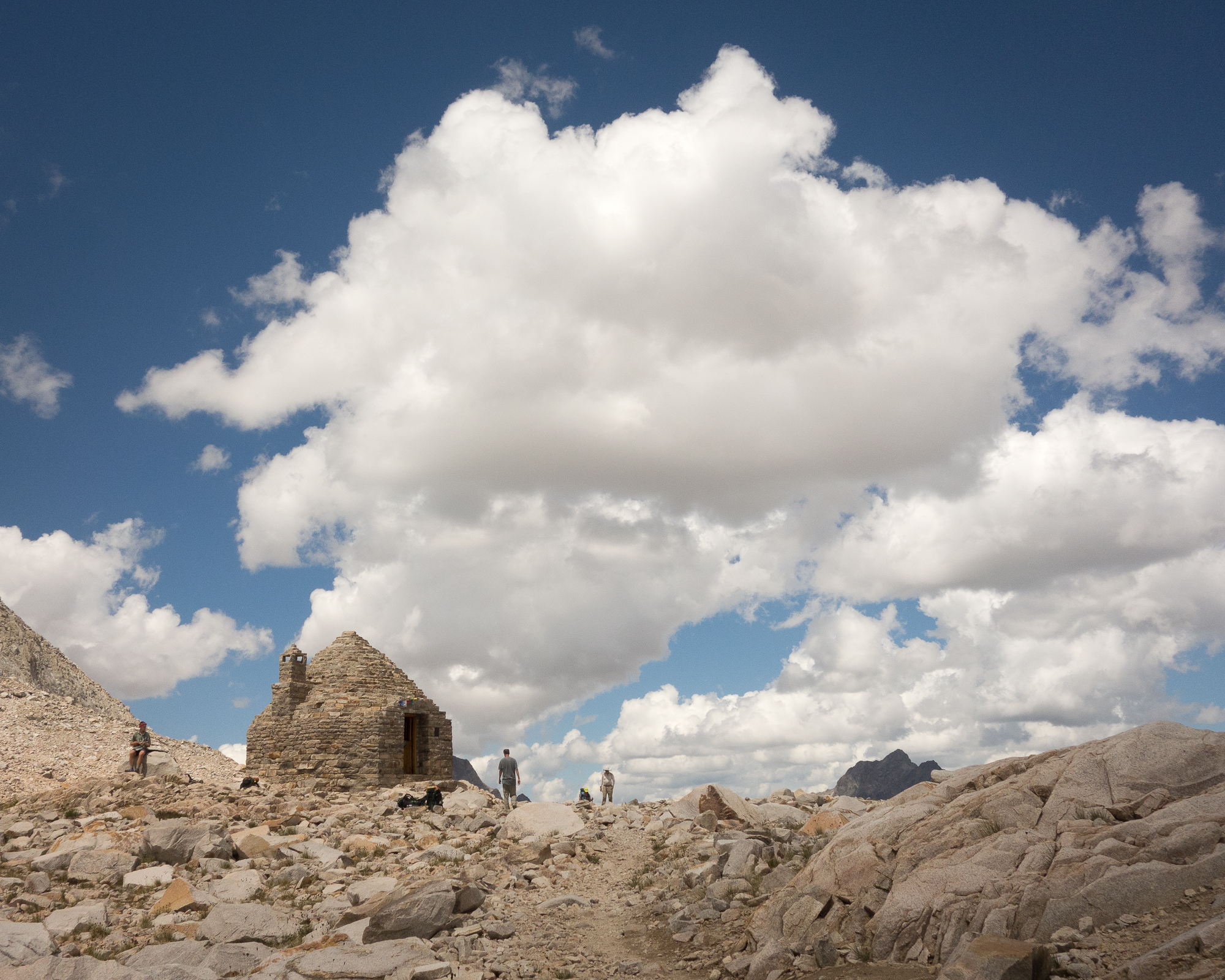
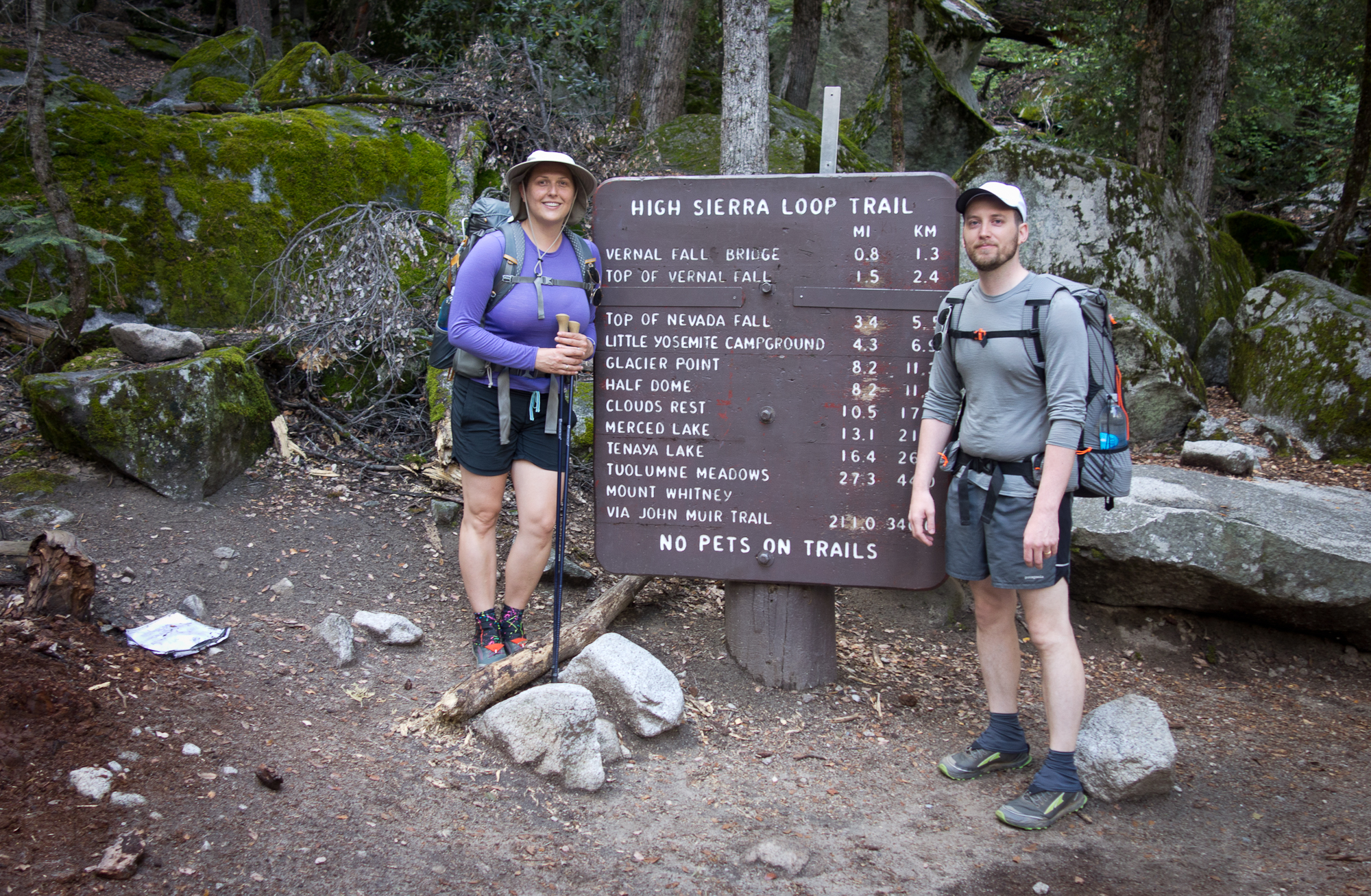
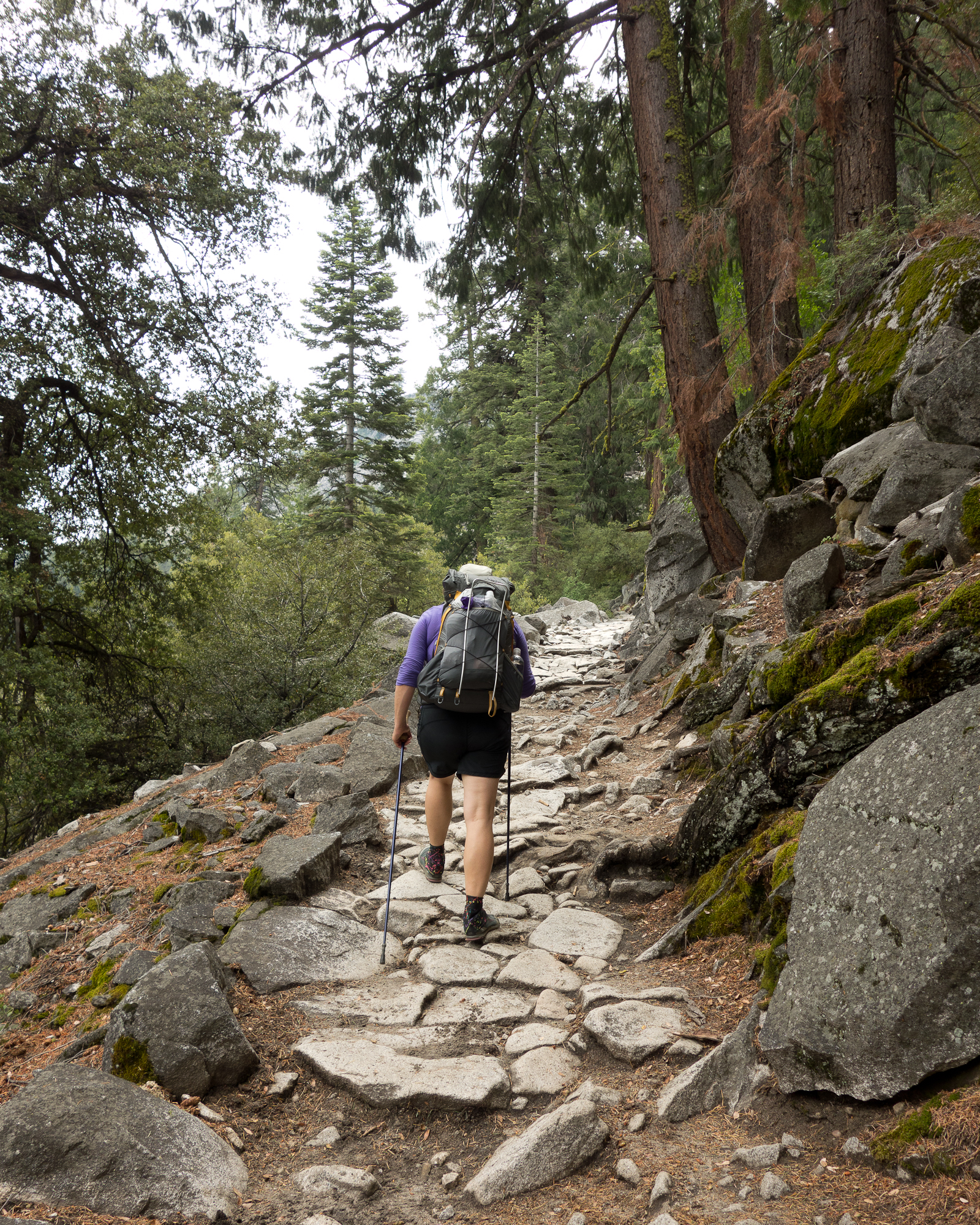
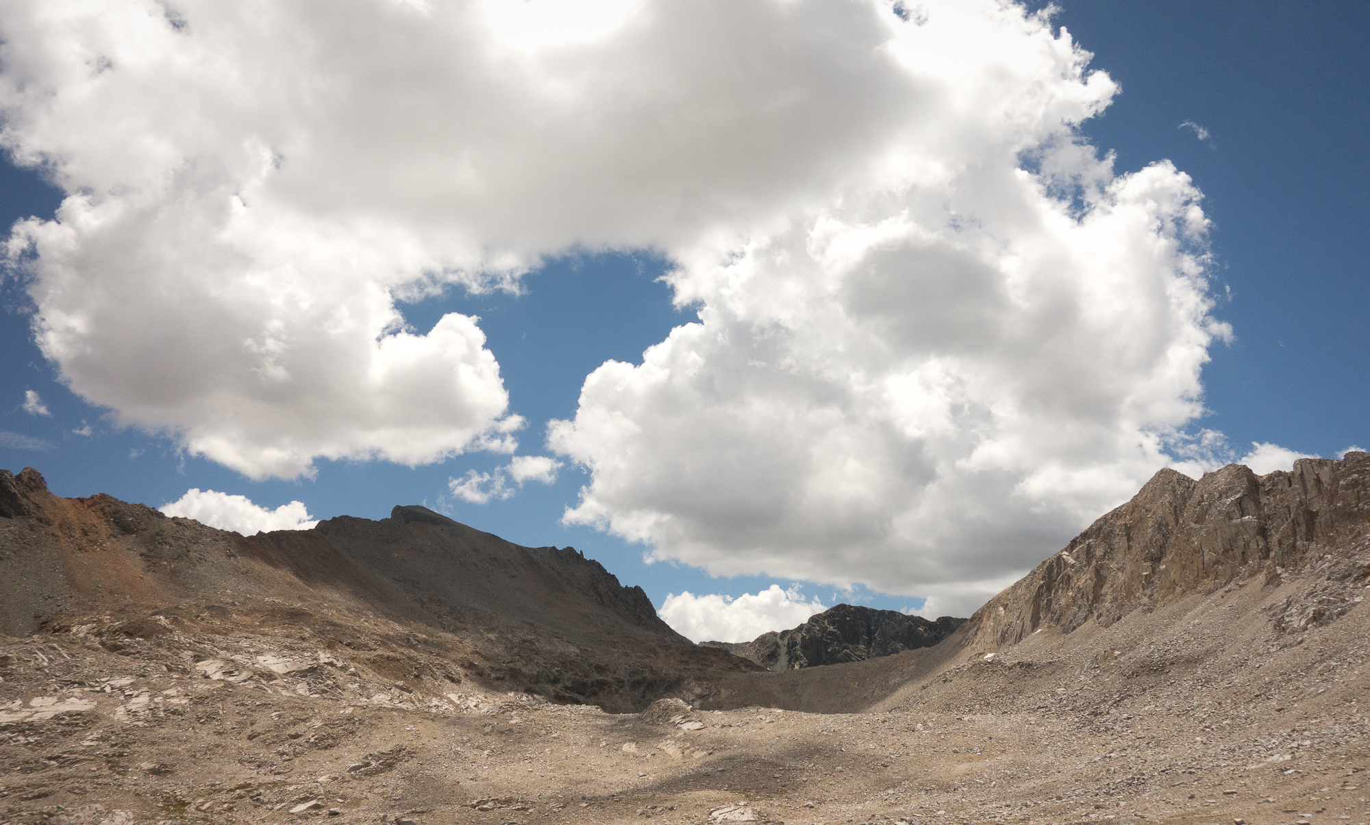
The Muir Hut was built by the Sierra Club (of which we are members) in honor of John Muir. It is pretty sweet.  Basically a stone igloo.  Manuela and Dick weren’t too far behind us and we shared the summit with them. We took their picture in front of the hut and they took our picture.  Their kids had hiked portions of PCT and they wanted the JMT experience.  We probably spent a total of 20 minutes up on top of Muir Pass, checking our maps, drinking up on water, and eating a snickers bar before headed down over 7 miles to LeConte canyon.  We went down for hours and it felt much more treacherous than the up. It was rocky with large steps and switch backs. At times it was hard to discern the trail from just straight up rock fields.

Then of course a thunderstorm started up. Clouds had been forming all morning. Kevin and I got into a fight as I was so desperate to wash my hair (we are six days no shower at this point) I walked out into an open meadow to get water. Kevin was right to stop me and insist we get to lower ground and amongst the trees.  Everyone was hustling to get down off the exposed granite out cropping and into the trees.  We were nearly running at certain points. ANNND we ran right past whale rock. Didn’t even stop to take a picture. Sad face.

The whole methodology of the later half of the John Muir Trail is to get over the pass in the morning, descend, find camp, and set up to summit the next pass again in the morning before thunderstorms have a chance to get you.  There are 5 pass in in increasing height leading towards Mt. Whitney: Muir 11,955′, Mather 12,080′, Pinchot 12,100′, Glen 11,978 and lastly the highest Forester 13,153′.  One does not want to be going over a pass late in the afternoon as thunderstorms typically roll through after building up in the afternoon heat and moisture in the San Joaquin valley.

Helen lake
Helen Lake. Named for John Muir’s daughter.
Muir Pass
Looking back on Muir Pass
Helen Lake
Helen Lake
John Muir Trail
Pick out the trail from the rocks if you can.
John Muir Trail
Hiking down in the rain

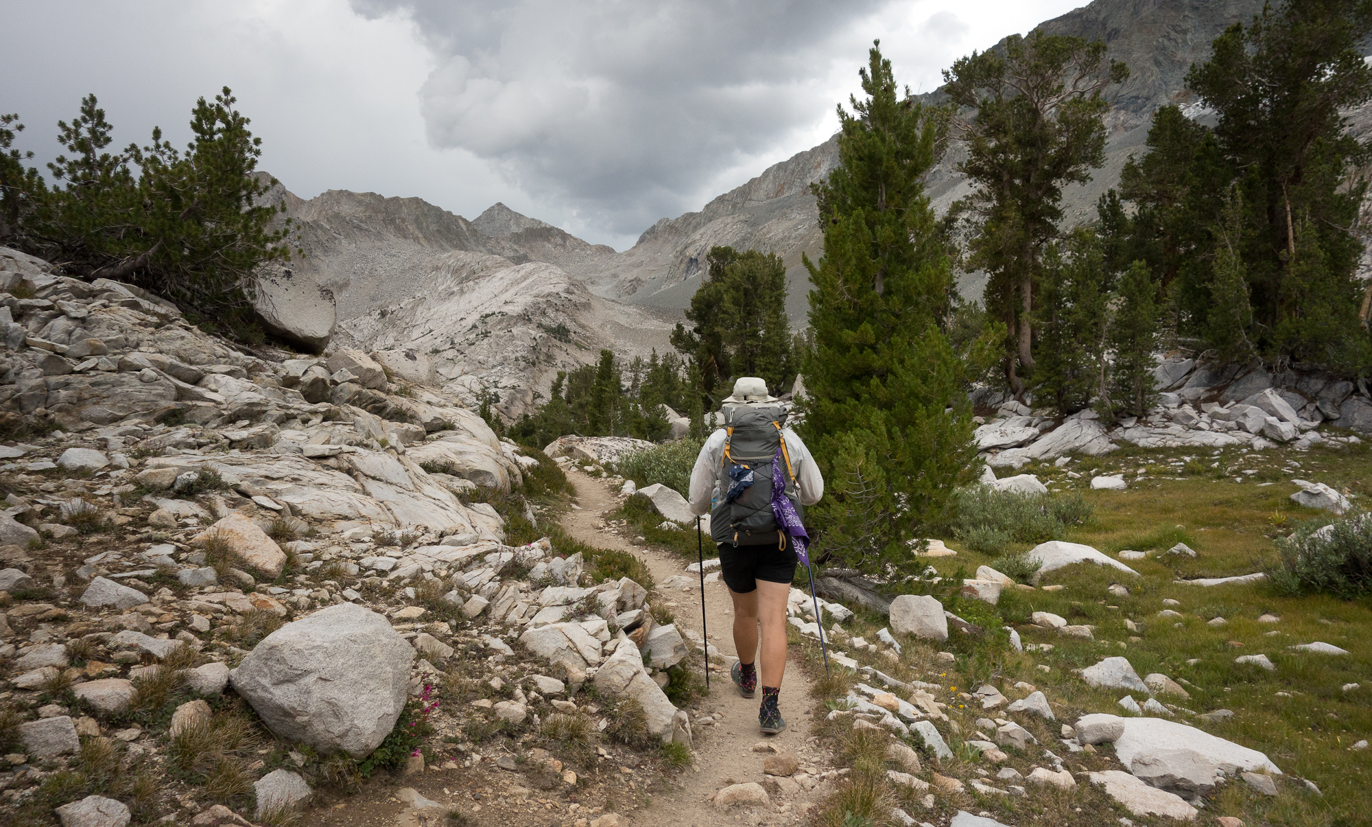
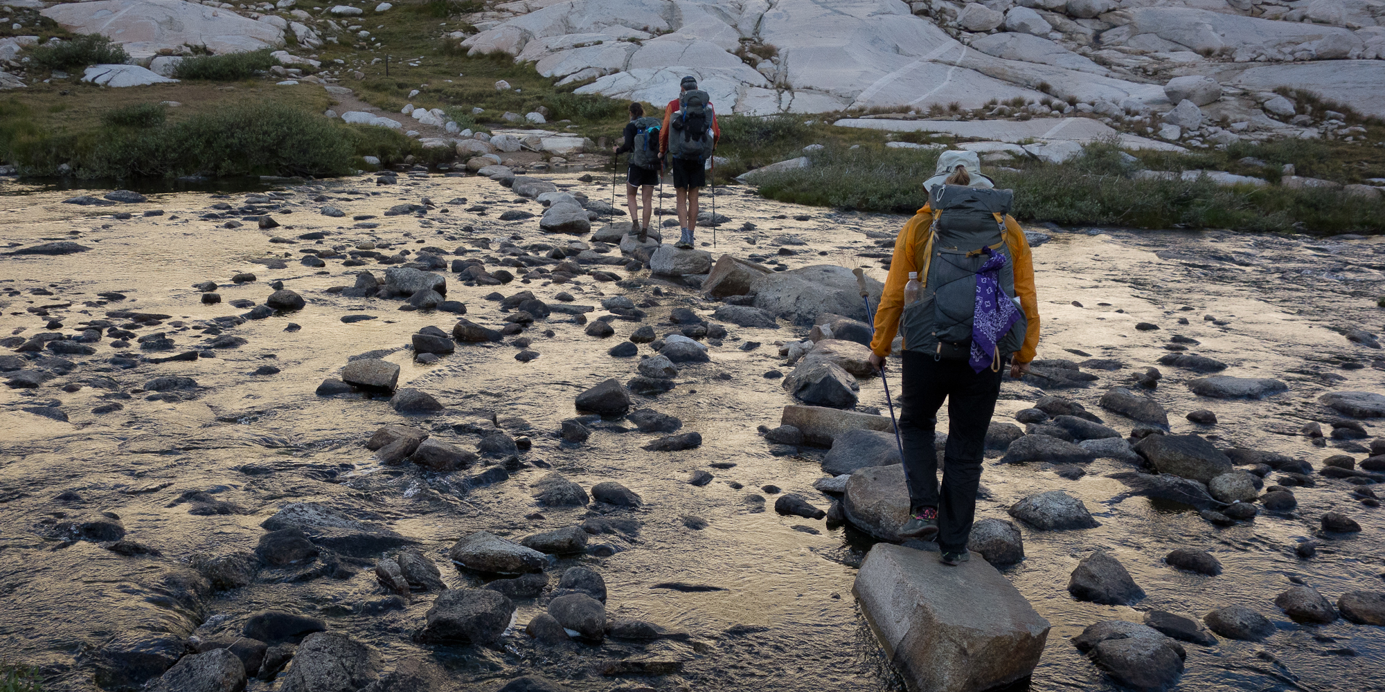
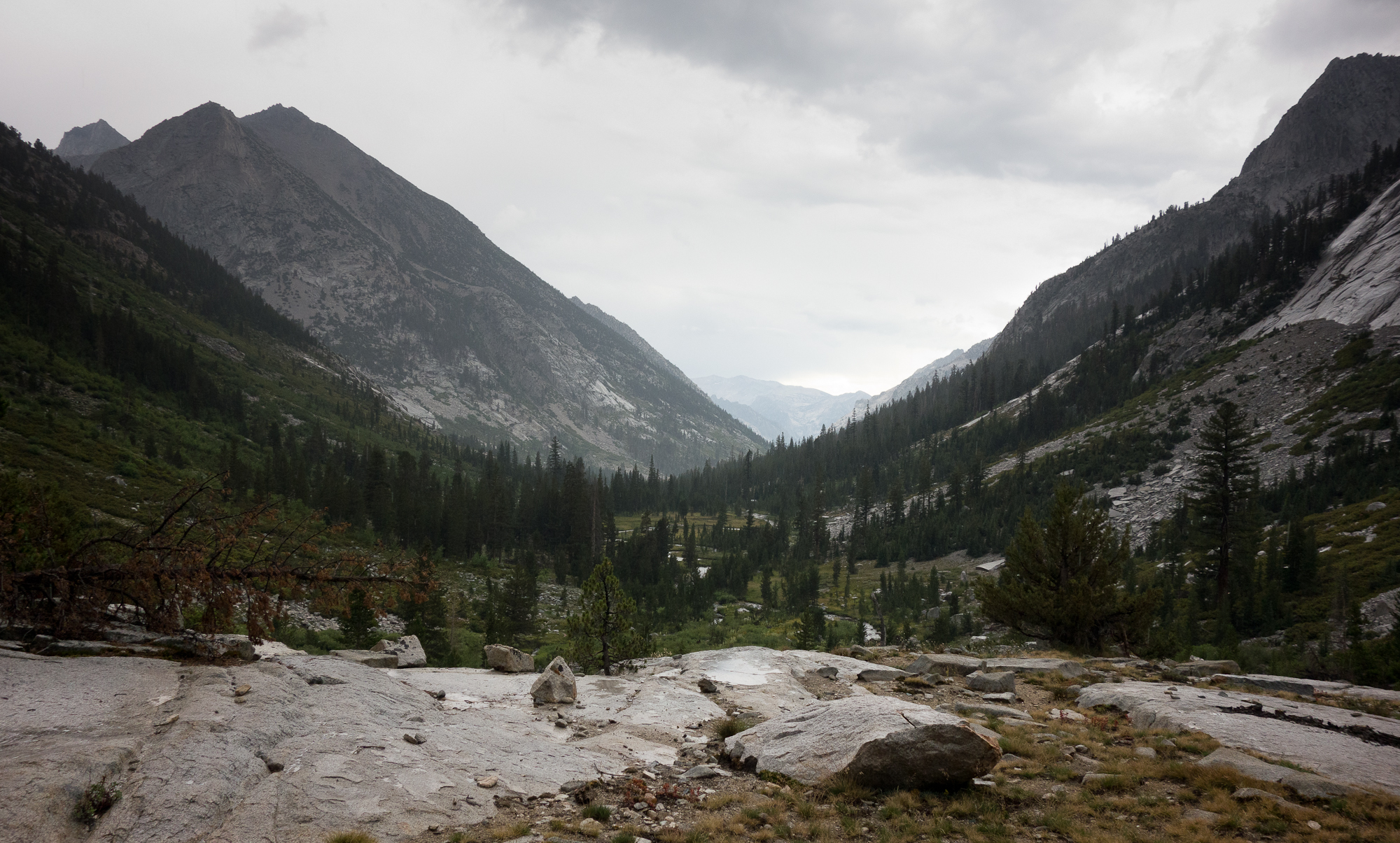
Some folks set up temporary shelters along side the trail to wait out the rain. We just kept heading down the trail. The trail descended through LeConte Canyon, through Big Pete Meadow, into Little Pete Meadow, and then on to Grouse Meadow.  Honestly we really trucked it getting down off of Muir pass and didn’t stop for much sight seeing.

Big Pete Meadow
Big Pete Meadow


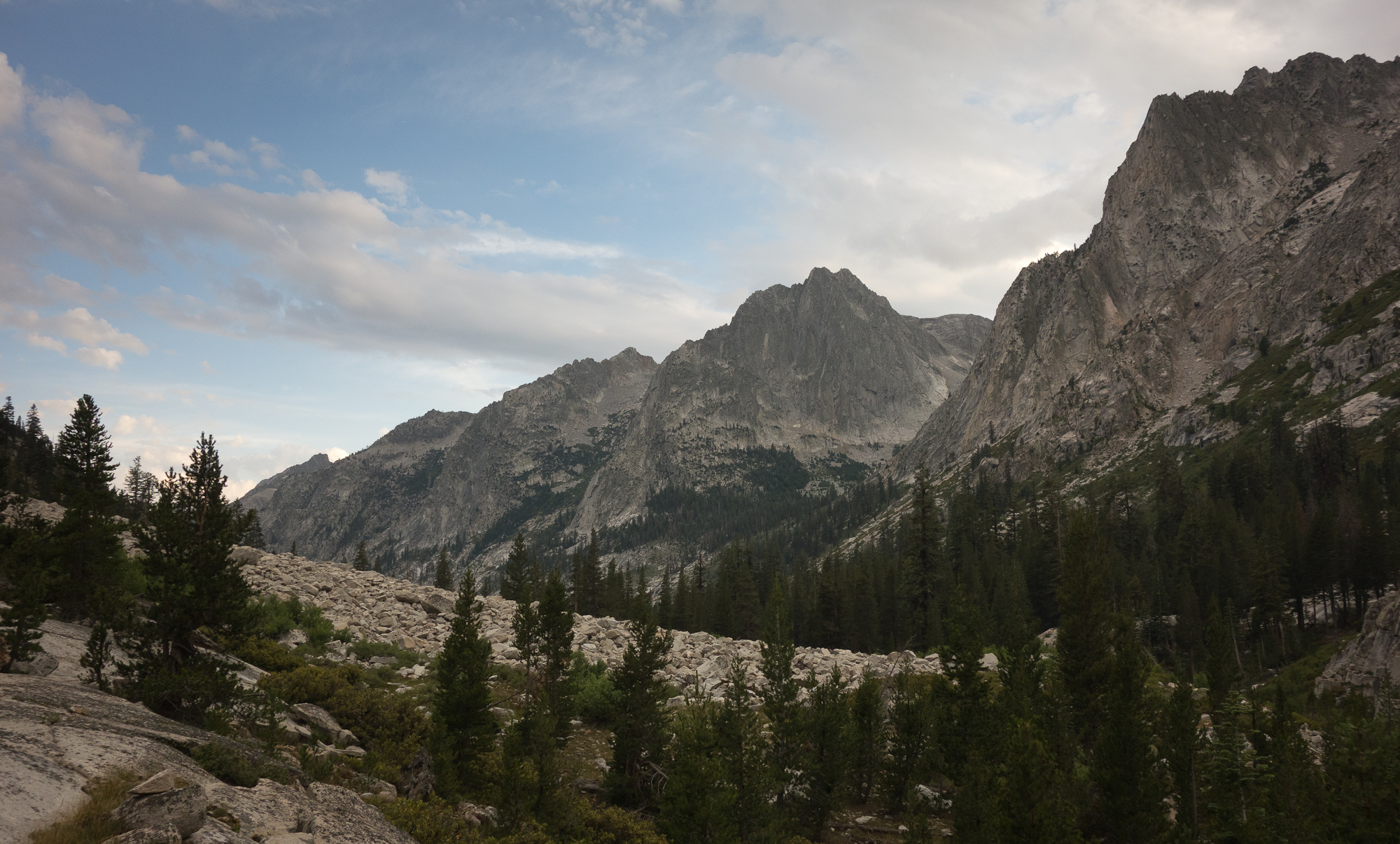
That night at camp I dunked myself in the Middle Fork of the Kings River and had Kevin pour soup on my head to try and get clean. It worked a bit. We did a bunch of laundry and hung up a line between trees to let it dry.  A deer came sneaking into our camp and wouldn’t leave. We scared it off three times and it just kept hovering around. Very funny.

The Citadel
The Citadel
The Citadel
View from camp. The Citadel

Tomorrow we climb up Palisade Creek, up the Golden Staircase to Palisade Lakes setting ourselves up for Mather Pass.

Day 1 – Happy Isles to Little Yosemite Valley

7/21 – Happy Isles to Little Yosemite Valley
3.8 miles

It seemed like the planning would never end.

Martin and Dorothy drove up to Yosemite with us.  They had never been inside Yosemite.  We use to go to Camp Mather on the edge of the park many times when I was a kid, but they never made it into the valley.

Mom was completely enthralled and excited by the valley.  She had never seen anything like it.  Well, almost.  She compared it to the Old Man in the Mountain in New Hampshire, which is sadly no longer.

We found a place to park on the side of the road (all the parking lots were full) and walked over to the wilderness office to get our permit.  The ranger rattled off a lot of information about bear cans, wag bags, 4 mile no camp zones, etc. After finally getting our official permit, we grabbed a sandwich lunch at Degnan’s Deli just in time for a storm to blow in. Lots of thunder and lightning and a downpour for a couple of hours.  We all took naps in our cabins in Curry Village waiting for the rain to die down.  Then Kevin and I showed Mom and Dad the Mountain Room at the lodge, site of our engagement dinner.  My nerves about the trip were really getting going.  Dad reminded me that all I had to do was get to Tuolumne Meadows, which was two nights.  And then get to Red’s Meadow, which was 4 nights.  And then do another 4 nights to get to Muir Trail Ranch.  Ideally by that point I’ll be acclimated to the elevation and strong. He recounted a story when he had just started out on his cross ocean sailing adventure to Tahiti. On their second night at sea, sailing south from San Francisco to Los Angeles they encounter a strong off shore gale and the wind was driving them in towards shore.  They scrambled to get their foulies out of storage and a different sails up but unfortunately they had packed all the important gear underneath, as he describes, the rubber duckies, beach umbrellas, and inner tubes.  Lesson learned, pack important stuff on top.  He obviously survived :).

Either way I was very nervous this morning.  Everyone in Curry Village was annoying me.  A woman let the water run as she was doing make up and brushing her teeth, completely unaware of the signs that point out we are in a severe drought.  Two teenaged girls fed some squirrels bread, ignoring another sign that stated to not feed the wildlife.  So it felt very good to finally start climbing and get beyond the day hikers.  As we were coming up to Nevada falls we passed a man finishing up his JMT trip going north bound.  He had on dirty girl gaiters that his daughter picked out for him.  We quickly chatted about gear, pack weight, and mosquitoes.  He was very friendly and easy going.  Makes me excited to meet more folks like him on the trail.

We quickly made it up past Vernal and Nevada Fall and into Little Yosemite Valley.  After pumping really brown muddy water from the river we set up camp and decided to take a nap and wait out the thunderstorm that rolled through.

Tomorrow, 12.5 to Cathedral Lakes!

2015_07_21-002
Leaving Camp Curry and headed to Happy Isles
2015_07_21-003
Official start of the trail!
2015_07_21-005
Liberty Cap
2015_07_21-006
Yay first day!
2015_07_21-010
Going up!
2015_07_21-008
Liberty Cap and Nevada Fall
2015_07_21-011
Another shot of Liberty Cap and Nevada Fall
2015_07_21-012
Top of Nevada Fall


2015_07_21-013
Big tree. Baby tree.
2015_07_21-014
Little Yosemite Valley. Camp for the night after a hard down pour.